




🏰 In the Footsteps of Old Outposts: Fortresses of Adjara from the Coast to Khulo
Fortresses of the Adjara Mountains
This route covers 14 fortresses of Adjara: from ancient Gonio and Byzantine Petra to the smaller outposts of Keda, Kobuleti, and Khulo.
Adjara is more than a sea, beaches, and waterfalls. Behind the coast lie gorges, old roads, mountain villages, and fortresses that for centuries helped control crossings, trade routes, and approaches to the valleys. Some have become well-known attractions; others survive as fragments of walls on cliffs or ruins by village roads.
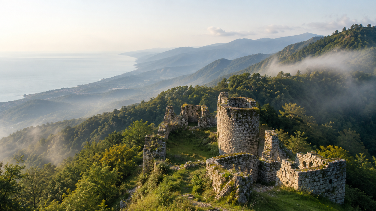
This route brings together 14 fortresses of Adjara: from ancient Gonio and Byzantine Petra to the mountain outposts of Keda, Kobuleti, and Khulo. Some can be visited on a short trip from Batumi. Others require a car, good weather, sturdy footwear, and a willingness to follow trails without the usual tourist navigation.
This guide will help you decide where to go for the region's history, which fortresses to combine into one route, where to look for old ruins, and which spots to save for a separate trip into the mountains of Adjara.
All 14 Fortresses of Adjara by Region
Open the relevant direction to choose a fortress, go to its catalogue card, or read a dedicated article.
🌊 Closer to the Sea and Batumi Gonio, Petra, Gvara, and Chkhutuneti. 4 sites
🌿 Kobuleti and Keda Elia, Mamuka, Zendidi, Kaviani, Gulebi, Tsivasula, and Sagoreti. 7 sites
⛰️ Khulo and the Upper Reaches of Adjara Khikhani, Vardtsikhe, and Tsikhiskeli. 3 sites
🏰 Why So Many Fortresses Survive in Adjara
Adjara sits between the Black Sea coast, the Chorokhi valley, the Ajaristskali gorge, Machakhela, and the roads toward the historic regions of Samtskhe and Shavsheti. Fortifications here didn't appear by chance. Some controlled access to the sea; others stood by rivers, on rocky promontories, or beside roads that carried traffic between villages and gorges.
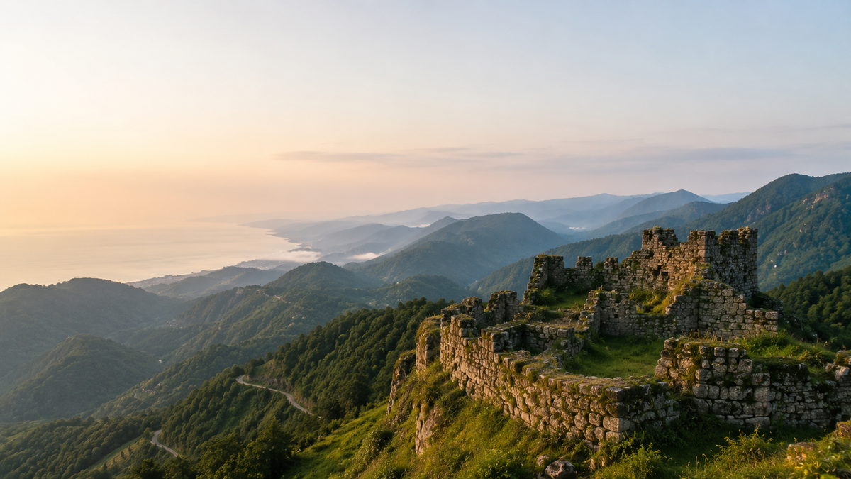
The major coastal fortresses are tied to the grand historical epochs. Gonio-Apsaros speaks to the ancient and Roman layer of the region. Petra reveals the Byzantine line along the coastal road. The mountain fortresses work differently: they are smaller in scale, often less well preserved, but they better capture the local logic of defense, observation, and connection between valleys.
In Keda, the role of the Ajaristskali is especially clear. Here, fortresses stand not as isolated castles but as points linked to the road, the river, and the settlements. In Machakhela, fortifications are read through the gorge, the forest, and proximity to the Chorokhi. In Khulo, the fortresses already belong to a different kind of journey: more elevation, more travel time, and greater dependence on the weather.
🌊 The Coast, Batumi, and Machakhela
Gonio-Apsaros
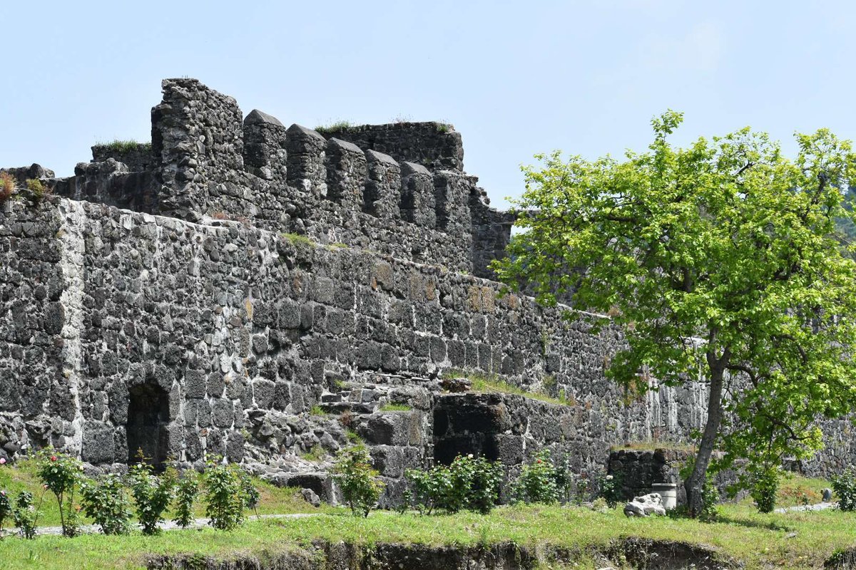
Gonio-Apsaros lies not far from Batumi, near the Chorokhi and the road toward the Turkish border. It's a convenient first stop for exploring historical Adjara: easy to reach, the grounds are easy to navigate, and the scale of the fortress walls clearly shows why this spot was so important for controlling the southern approaches.
Gonio stands apart from the smaller mountain ruins in that it reads as a coherent archaeological complex. What matters here are the walls, the interior space, the museum context, the ancient history, and the legends tied to the Apostle Matthew. If you're beginning your acquaintance with the region's fortresses, Gonio sets the historical scale.
For a detailed route and history, see the article «The Ancient Treasure of Adjara: Gonio Fortress». On a trip from Batumi, Gonio pairs well with the Chorokhi, Sarpi, or a short drive along the southern coast.
Petra
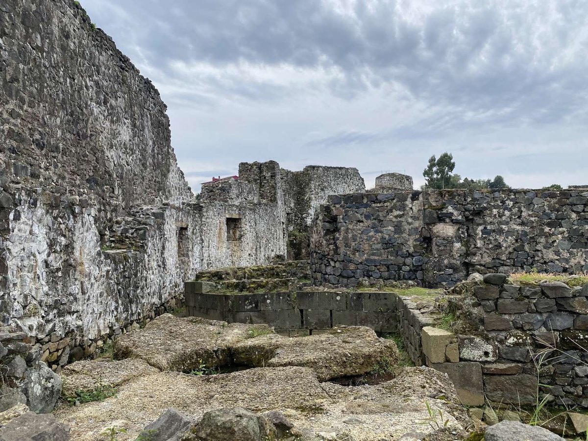
Petra is located in Tsikhisdiziri, between Batumi and Kobuleti. It fits naturally into a coastal route, especially if you're heading north. The fortress belongs to the Byzantine layer of the region and helps you see how the coastal road was bound up with military and commercial logic.
Today Petra reads as an archaeological and architectural heritage site where what matters is not just the walls but the position on the hillside above the sea. It's not a mountain outpost in the narrow sense, but without Petra the picture of Adjara's fortresses is incomplete: it shows the coastline as a distinct historical belt.
For dedicated reading, see the articles on the Byzantine fortress of Petra and on Petra Fortress. In a route it pairs well with Tsikhisdiziri, Kobuleti, the Botanical Garden, and the coastal road.
Gvara
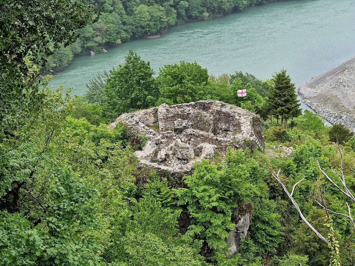
Gvara is located in an area connected to the Chorokhi and Machakhela. What survives are ruins, and the experience is shaped largely by the road, the forest surroundings, and the position above the gorge. The place is best understood not as a museum site but as part of a Machakhela itinerary.
Gvara suits those who want to combine history with nature. After the coast, you already feel a different character in Adjara: more greenery, more slopes, rural roads, and river valleys. The ruins help explain why fortifications were built not only along major highways but also at spots where gorge passes could be monitored.
For more on the route and what to expect, see the article on Gvara Fortress. The trip pairs naturally with Machakhela, Chkhutuneti, the gorge's natural highlights, and the Twin Waterfall.
Chkhutuneti
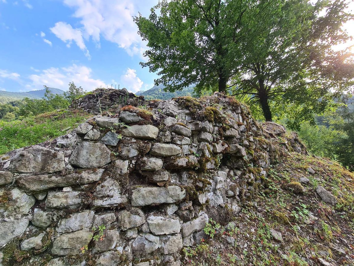
Chkhutuneti is located in the Machakhela Gorge, near the village of Lower Chkhutuneti. The fortress goes by several local names, so when planning a route it's worth cross-checking with a map and current landmarks on the ground.
Today it's a ruined site, but its position clearly explains the role of such fortifications. Machakhela was not just a scenic gorge — it was a road connecting settlements, the river, and the approaches to the Chorokhi. The fortress here acts as a historical marker: it shows where the pass mattered and why it needed to be watched.
For more details, see the article on Chkhutuneti Fortress. You can combine this into one route with Gvara, Machakhela National Park, the visitor center, and the Twin Waterfall.
🌿 Kobuleti and Keda
Elia
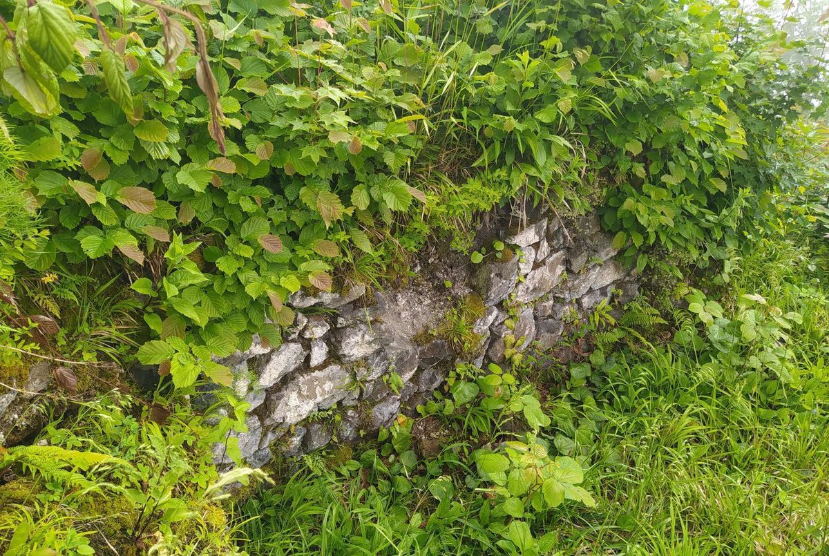
Elia stands on Mount Chakhati in Kobuleti Municipality, at around 1,150 m elevation. This is no longer a seaside stroll — it's a mountain point with trails, rock faces, and panoramic views. The fortress has an oval footprint, and parts of the walls survive in fragments several meters high.
The site is associated with a watchtower function, which the terrain makes immediately legible: a high position, a difficult approach, and an unobstructed view of the surroundings. Local legends have also gathered around Elia, though these are better understood as part of oral history rather than precise chronicle.
Access is possible from the Natskhavatebi or Gogmachauri side. Signs may be absent, so it's worth preparing the route in advance. Elia suits those who have already seen the more accessible fortresses and want to add a rare mountain point to their trip.
Mamuka
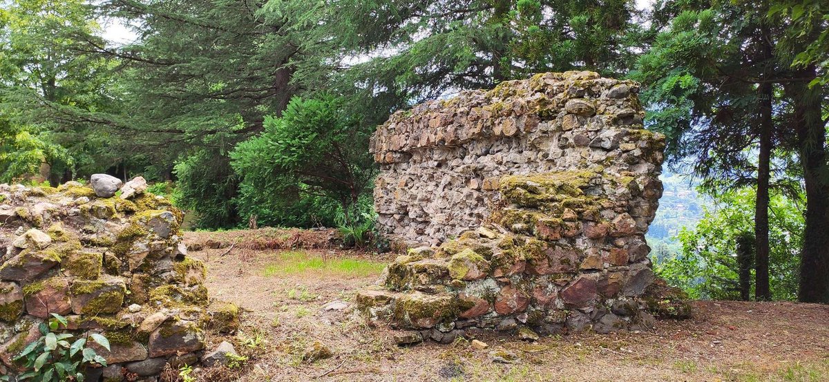
Mamuka is located in the village of Alambari, Kobuleti Municipality, on Mount Tsikhiskeli. The fortress is associated with the 18th century and the name of Mamuka Tavdgiridze. In the context of this article, it matters as a later layer of Adjara's fortification history.
Little of the fortification survives: the southeast wall is visible, and the overall silhouette reads as a ruined tower platform. The site doesn't give the impression of a large citadel, but it helps show that the region's fortresses belong to different eras and served different purposes.
Mamuka fits naturally into a northern route alongside Petra, Kobuleti, Kintrishi, and Elia. Before the trip it's worth checking the approach: local sites like this can be hard to find without on-the-ground guidance.
Zendidi
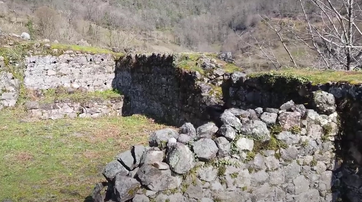
Zendidi is located in Keda Municipality and stands out among the smaller fortresses for the size of its territory. It is connected to the old roads of the Ajaristskali valley and the control of movement around Keda.
Today the interest lies not only in the ruins but in the unusual coexistence of old walls with a living environment. The site includes an enclosure, remnants of towers, a gate, internal structures, and a water reservoir. At Zendidi you can picture not just a wall on a slope but a genuine fortified space.
In a Keda itinerary, Zendidi works well as one of the main historical highlights. Nearby, by the same logic, are Kaviani, Tsivasula, Sagoreti, the Makhuntseti Waterfall, and the old bridges of the valley.
Kaviani
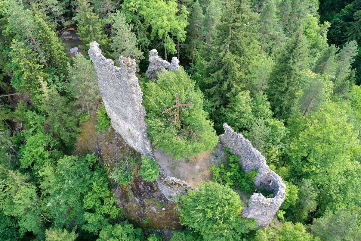
Kaviani is located in the village of Khichauri, at the confluence of the Chvanistskali and Ajaristskali. The location alone explains the purpose of the fortification: here water, road, and field of view all converge.
The fortress consists of several parts. One zone preserves traces of rooms, window openings, and an internal recess; another is dominated by an irregularly rectangular tower. The western courtyard wall survives as a notable fragment. Because of this, Kaviani reads not as a lone wall but as a small fortified complex.
Kaviani pairs well with Zendidi. Where Zendidi shows a large fortified territory, Kaviani lets you see a more compact, structurally intricate outpost at a river junction. For the visit, it's worth checking the approach to the hill and the state of the road.
Gulebi
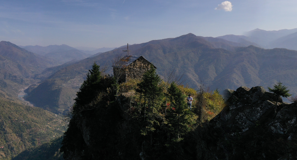
Gulebi sits above the village of the same name in Keda Municipality. The fortress is associated with the 12th–13th centuries and the history of the Atabegs of Samtskhe. The terrain is essential here: from the height you can see the surrounding directions, and reaching the ruins takes more effort than getting to Zendidi or Makhuntseti.
The surviving elements are modest but expressive: part of the walls, a narrow approach, an entrance, fragments of masonry, and three embrasures in the western wall. Those embrasures are often the defining visual element of Gulebi.
This is not a stop to add casually to a route. Gulebi suits those who are prepared for a climb and see the journey itself as part of the experience. Before going, check the season, the weather, and any local guidance available.
Tsivasula
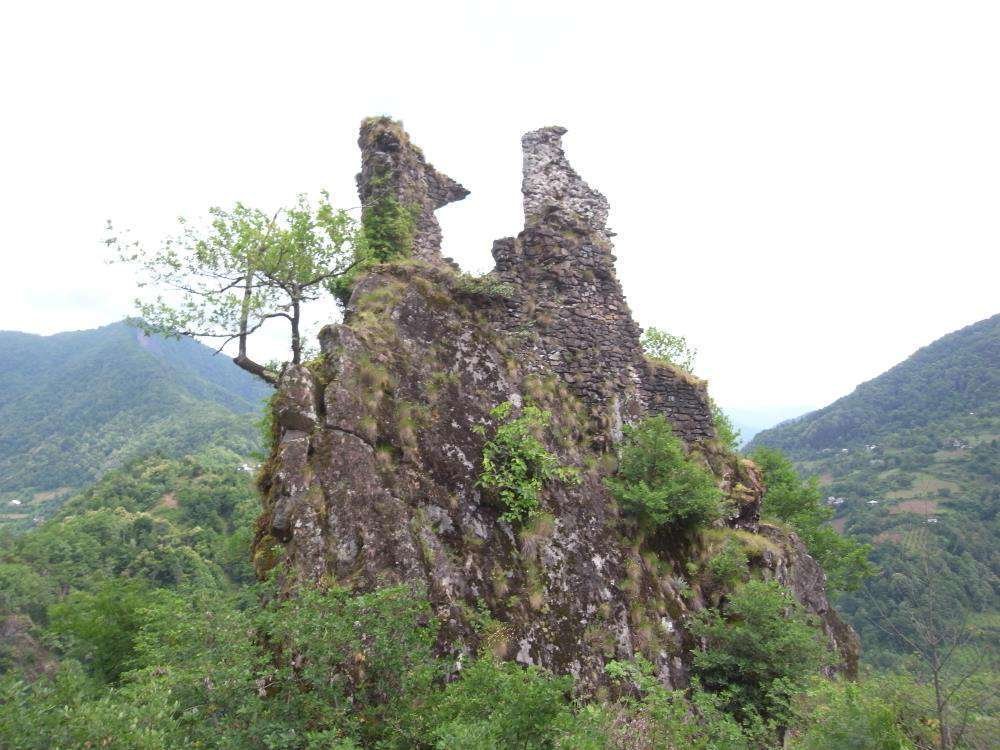
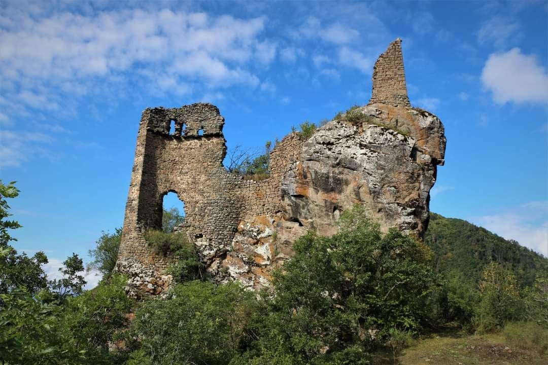
Tsivasula stands at the confluence of the Ajaristskali and Agaristskali. The fortress occupies a rocky promontory, and access is along a narrow path. That position makes the site immediately legible: this is where passes and roads between river valleys were controlled.
Sections of the northern, southern, and eastern walls survive, along with elements of a tower, niches, embrasures, and a water reservoir cut into the rock. Tsivasula shows clearly how a natural cliff could become part of a defensive system.
In a Keda itinerary, Tsivasula fills the role of the river-junction point. It makes most sense to visit after getting to know Zendidi and Kaviani, once you already understand why the Ajaristskali valley mattered so much for movement through the region.
Sagoreti
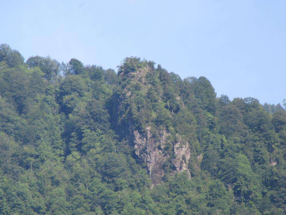
Sagoreti is located near the village of Pirveli Maisi, on the right bank of the Ajaristskali. It's a ruined outpost that often stays in the shadow of Keda's more prominent sites, but it matters for the complete picture.
A tower, part of an enclosure wall, and fragments of masonry survive on the territory. Inside the tower there are reported recesses, and the fortress stands on a hill associated with control of the river's right bank. This is not a site for a quick dramatic photo — it's a point for those assembling a route across the whole valley.
Sagoreti is best added to Zendidi, Kaviani, and Tsivasula if time and preparation allow. After rain the approach to the ruins can be difficult, so don't make the trip without checking the road first.
⛰️ Khulo and the Upper Reaches of Adjara
Khikhani
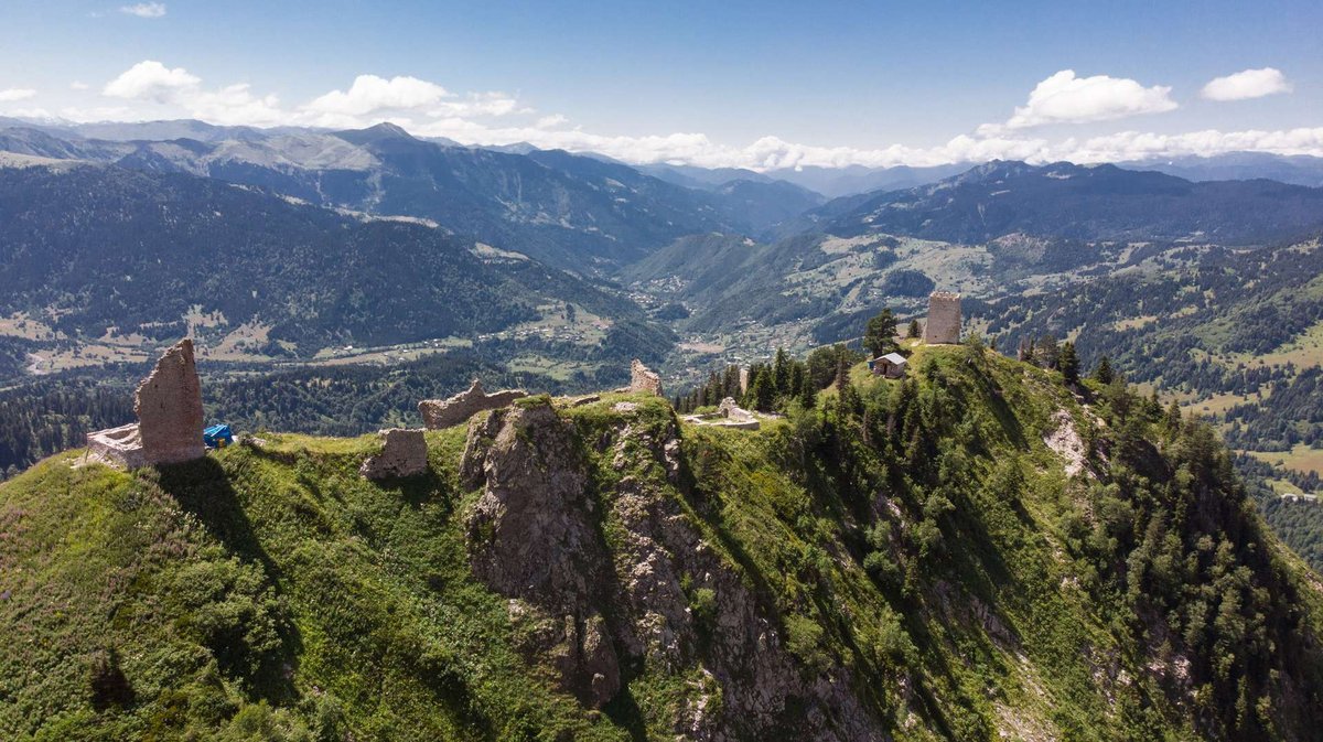
Khikhani is one of the recognizable mountain fortresses of Adjara. It is tied to Khulo, the high-altitude roads, the Skhalti direction, and the image of Upper Adjara as a distinct historical world.
For a route, Khikhani is best planned not as another stop but as the central goal of a trip to Khulo. The road, the elevation, the weather, and the season matter here no less than the walls themselves. While you can adjust plans on the coast mid-day, in Khulo it's better to arrive with time to spare.
A detailed route and historical context are in the article on Khikhani Fortress. On the same trip you can consider Vardtsikhe, Tsikhiskeli, Skhalta, and the mountain villages of the district.
Vardtsikhe
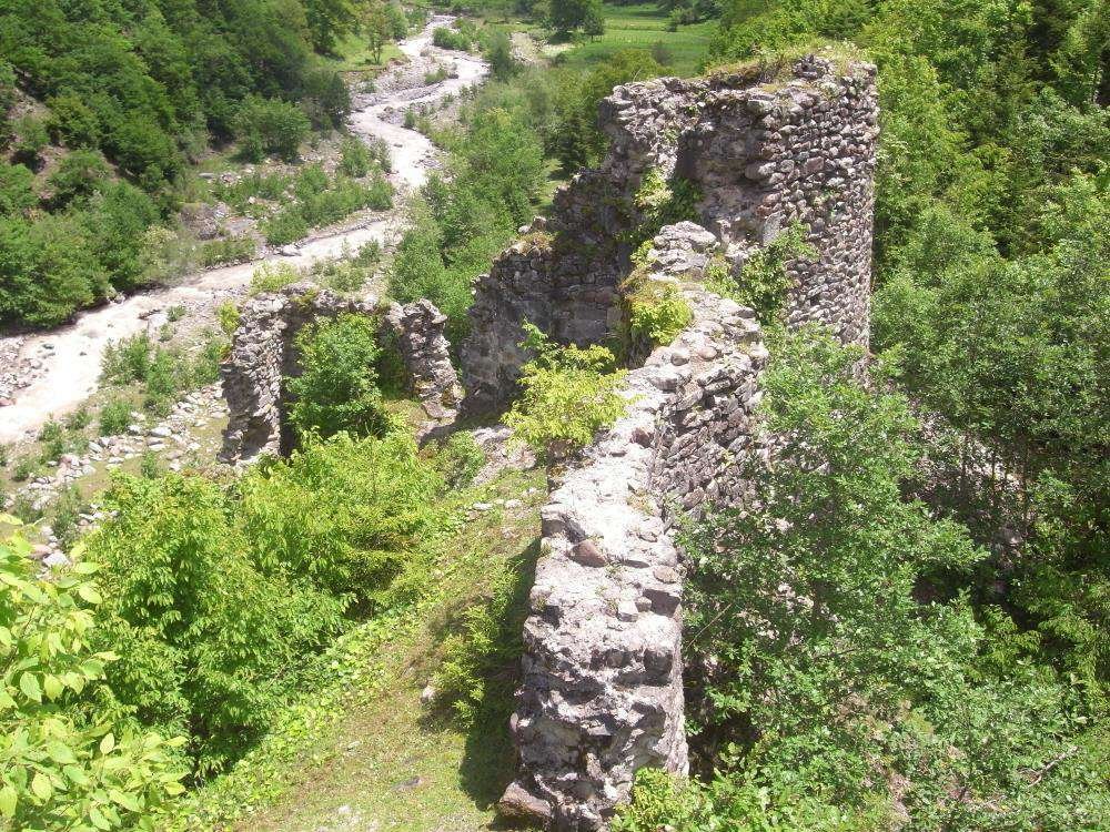
Vardtsikhe is located in Khulo, in the area of Khikhadiziri and the Skhalti Valley. The fortress is connected to the roads leading to Khikhani, which is why it matters not as a standalone landmark but as part of the historical geography of Upper Adjara.
There is less information about Vardtsikhe than about Gonio, Petra, Zendidi, or Tsivasula. In a route it's best presented honestly: this is a point for those already heading to Khulo, who understand the nature of mountain roads and are prepared to check access on the ground.
Vardtsikhe fits naturally into a trip that also includes Khikhani and the Skhalti direction. For a short trip from Batumi it's not suitable: the road into the upper reaches of Adjara takes time and good weather.
Tsikhiskeli
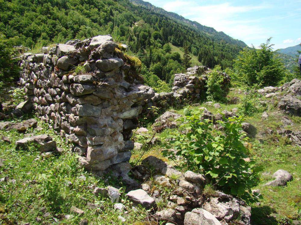
Tsikhiskeli is located in Khulo and belongs to the category of ruined mountain sites. The name can be confusing, since the Georgian root tsikhe relates to fortresses and similar roots appear in various toponyms. When planning the route, it's important not to mix Tsikhiskeli up with other sites.
This fortress is best understood as an additional point alongside Khikhani, Vardtsikhe, and Khikhadiziri. The value here lies not only in the surviving fragments but in the road itself: mountain villages, sweeping views, the relief, and the feeling of being in the upper part of the region.
For more details, see the article on Tsikhiskeli. The site is best suited to a planned Khulo route where roads, seasons, and current reviews have been checked in advance.
🗺️ Fortresses of Adjara: Route from the Coast to Khulo
The map shows how 14 fortresses are distributed across the directions: the coast, Machakhela, Kobuleti, Keda, and Upper Adjara.
🚗 How to Divide the Fortresses into Routes
The fortresses of Adjara shouldn't be crammed into a single day. The region is more conveniently divided into four directions.
The coast and south of Batumi. Gonio can be visited on its own or combined with the Chorokhi, Sarpi, and the southern coast. A clear, uncomplicated route.
The coast and Kobuleti. Petra, Mamuka, and Elia suit a northern direction. Petra is the most accessible; Mamuka and Elia require more checking of roads and access.
Machakhela. Gvara and Chkhutuneti pair well with Machakhela National Park, the Twin Waterfall, and the gorge road.
Keda and the Ajaristskali. Zendidi, Kaviani, Gulebi, Tsivasula, and Sagoreti can be combined with the Makhuntseti Waterfall, the Makhuntseti Bridge, and the old Dandalo Bridge. Not all of these points are equally accessible, so it's better to choose a few rather than trying to cover the full list.
Khulo and the upper reaches of Adjara. Khikhani, Vardtsikhe, and Tsikhiskeli are best saved for a dedicated trip. A car, good weather, plenty of time, and local guidance are all essential.
🔗 What to See Nearby
The fortresses of Adjara open up further when paired with the region's natural and historical highlights.
Gonio pairs well with the Chorokhi, Sarpi, and the southern coast. Petra fits naturally into a route through Tsikhisdiziri, Kobuleti, and the northern coast.
Machakhela works for a route combining Gvara, Chkhutuneti, Machakhela National Park, the Twin Waterfall, and the visitor center. Don't overload this direction by adding Keda: the gorge itself fills a full day.
Keda pairs well with the Makhuntseti Waterfall, the Makhuntseti Bridge, Dandalo, and the old arched bridges of Adjara. Here you can build a trip around old roads: fortresses, bridges, the river, and mountain villages.
If you want to broaden the theme beyond Adjara, the fortresses of Georgia offer more to explore: Nokalakevi, Kojori, Birtvisi, Tmogvi, and Akhaldaba.
🎒 What to Bring to the Smaller Fortresses
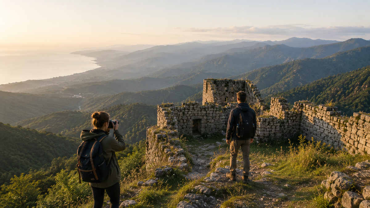
Mountain ruins are different from urban landmarks: here footwear, water, connectivity, and extra time all matter.
💬 Is It Worth Visiting the Smaller Fortresses of Adjara?
Yes — if you're interested in Adjara beyond the beach route. The smaller fortresses don't always deliver the feeling of a polished attraction: in some places only walls survive, some require a climb, and some have few signs. But these are precisely the places that reveal the region through its roads, gorges, villages, and old defensive lines.
For a first visit, choose Gonio, Petra, Gvara, or Chkhutuneti. For a deeper route, move on to Keda. Save Khulo for a dedicated mountain trip.
If you've already been to the fortresses of Adjara, share in the comments where you made it to and what condition the road was in. Those details help other travellers plan without unrealistic expectations.
ℹ️ Information current as of June 2026. Road conditions, trail access, opening hours at museum sites, and access to smaller fortresses are all subject to change. Before any trip, check recent reviews, the weather forecast, and the map.
❓ Frequently asked questions
The article covers 14 sites: Gonio, Petra, Gvara, Chkhutuneti, Elia, Mamuka, Zendidi, Kaviani, Gulebi, Tsivasula, Sagoreti, Khikhani, Vardtsikhe, and Tsikhiskeli.
For a first trip, Gonio, Petra, Gvara, or Chkhutuneti are the most convenient. They suit a short route much better than Keda or Khulo.
The Keda direction includes Zendidi, Kaviani, Gulebi, Tsivasula, and Sagoreti. They pair well with the Ajaristskali valley, the Makhuntseti Waterfall, and the old Dandalo Bridge.
For Machakhela, Gvara and Chkhutuneti are the natural picks. They can be combined with the national park, the Twin Waterfall, and the gorge's natural highlights.
The key site in that direction is Khikhani. Vardtsikhe and Tsikhiskeli can be added if time allows, the weather cooperates, and you understand the road.
Some, yes — but for Elia, Gulebi, Vardtsikhe, and Tsikhiskeli it's better to plan the route in advance and check the road with locals. Signage and marked trails are not guaranteed.
Spring, summer, and autumn. After rain, trails and stones can be slippery. In Keda and Khulo, conditions change quickly.
The Makhuntseti Waterfall, the Makhuntseti Bridge, Dandalo, and the arched bridges of Adjara. That way the route becomes about old roads as much as ruins.

3 comments
Log in to leave a comment