




💧 Lakes of Imereti: a Guide to the High-Altitude Glacial Lakes of the Lechkhumi Ridge
🏔️ What to Know About the Lakes of Imereti
In northern Imereti, along the Lechkhumi and Samegrelo ridges, more than ten high-altitude glacial lakes are scattered between 1,600 and 2,700 metres. Most are virtually unknown outside Georgia. Season: July through September.
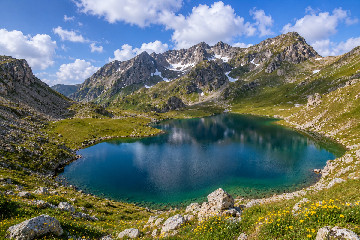
Northern Imereti is not where most guidebooks send you. The Prometheus Caves, Gelati Monastery and Kutaisi itself sit in the well-travelled belt across the south and centre of the region. But climb into the hills north of Tskaltubo or Sachkhere and the picture changes completely. At elevations between roughly 1,600 and almost 2,700 metres, in the folds of the Lechkhumi and Samegrelo ridges, lie lakes that most visitors simply never hear about.
All of them are glacial in origin. The glaciers retreated thousands of years ago, leaving behind cirques and depressions filled by moraine and bedrock. Some lakes are fed by snowmelt and underground springs, and several shrink visibly by late summer. The water is almost everywhere cold, clear, and unaccompanied by any infrastructure. A full list of sites with coordinates and photos is available in the natural attractions section for the Imereti region.
🗺️ All Lakes: by Difficulty of Access
Open a group to jump to a lake.
🟢 Reachable in Half a Day 4
🔵 A Full Trekking Day 5
🔴 A Multi-Day Expedition 3
🗺️ Lakes of Imereti on the Map
Open in Google Maps💧 Legvani: the Best-Known Lake of the Group
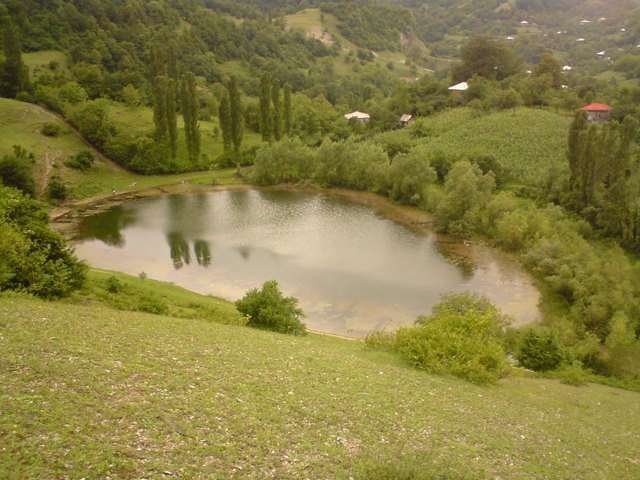
Legvani is the lake whose photographs circulate most widely online. It draws the highest international search interest of any Imereti lake: 652 impressions a year on the catalogue page alone, at position 11 with effectively no clicks yet — an opportunity still waiting to be captured.
It sits in the southern part of the group, with access that is relatively manageable by the standards of these mountains. The trail passes through beech forest before opening onto alpine meadows. The water takes on a greenish-turquoise colour in sunlight, a result of the pale stony bed and considerable depth in places. The terrain around the lake is open, with views back toward the ridge.
💧 Gogni: the Turquoise Lake With the Highest Demand
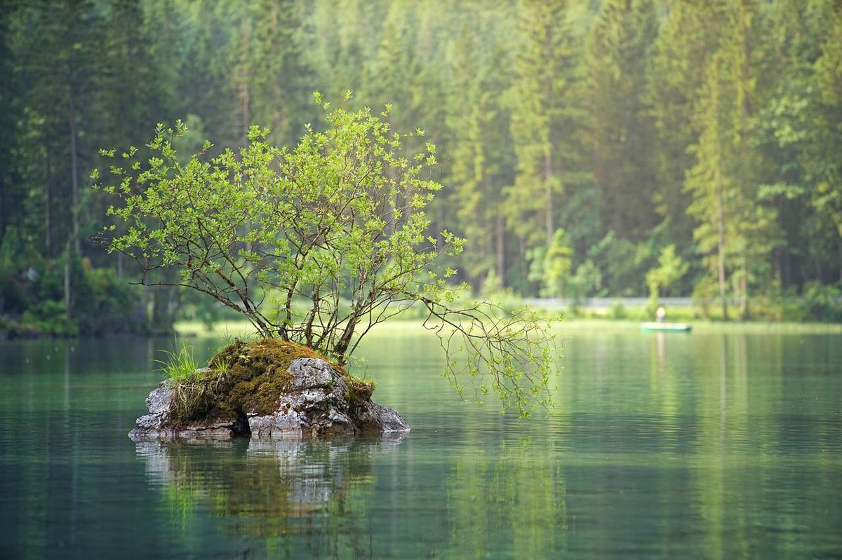
Gogni is the only lake in the group already generating organic traffic at scale: 20 clicks a month on the Georgian-language query, at position 1.4. That points to steady, growing interest.
The lake sits in the Tskaltubo municipality, at an elevation that explains its defining feature: the water stays cold even in August. Its colour shifts through the day, dark blue in the morning, turning turquoise under midday sun. The trail runs through rhododendron, which forms an unbroken pink corridor in June and July. It is a full day's hike from the nearest village, and camping at the shore is an option.
💧 Lomina: the Lake With a Waterfall
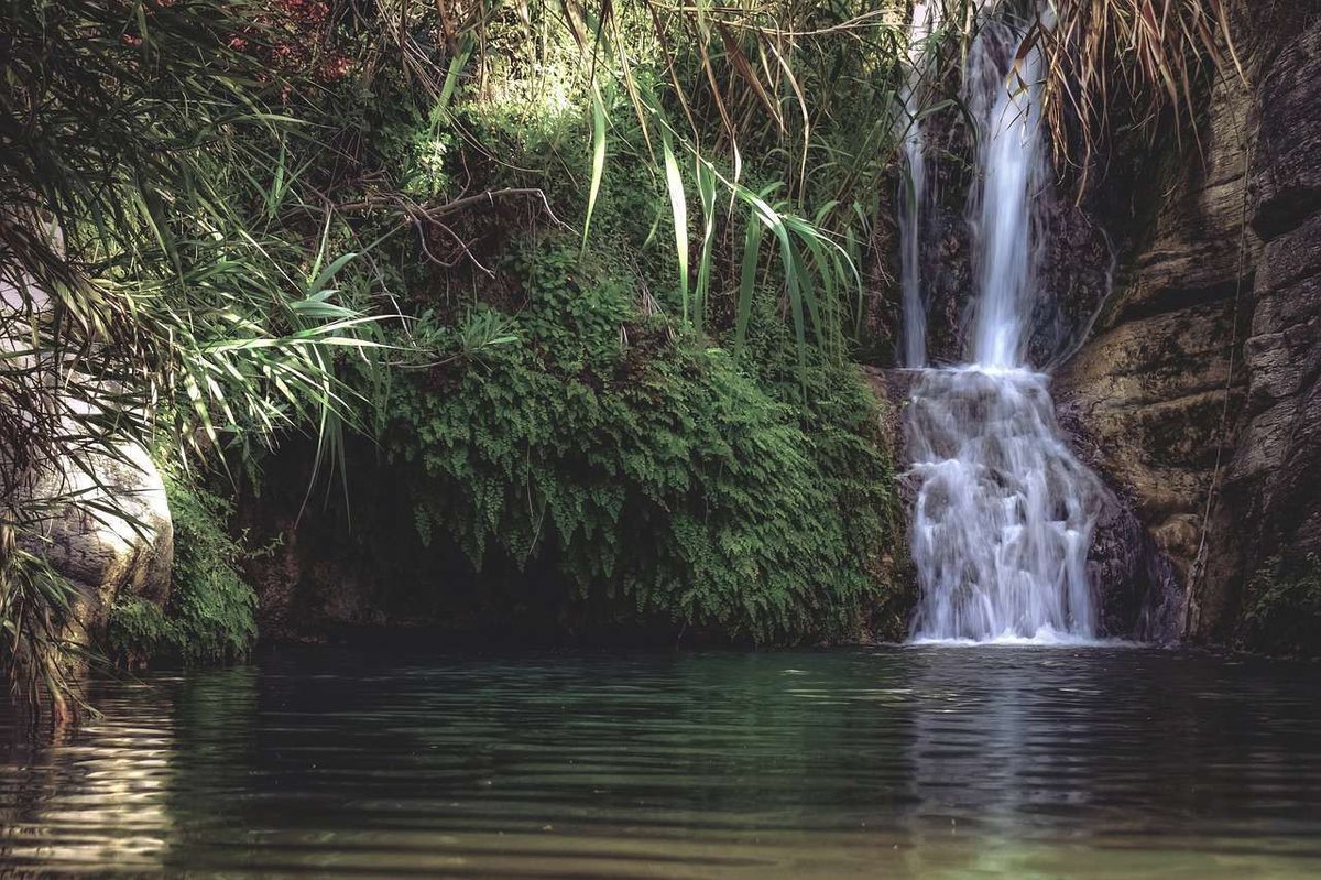
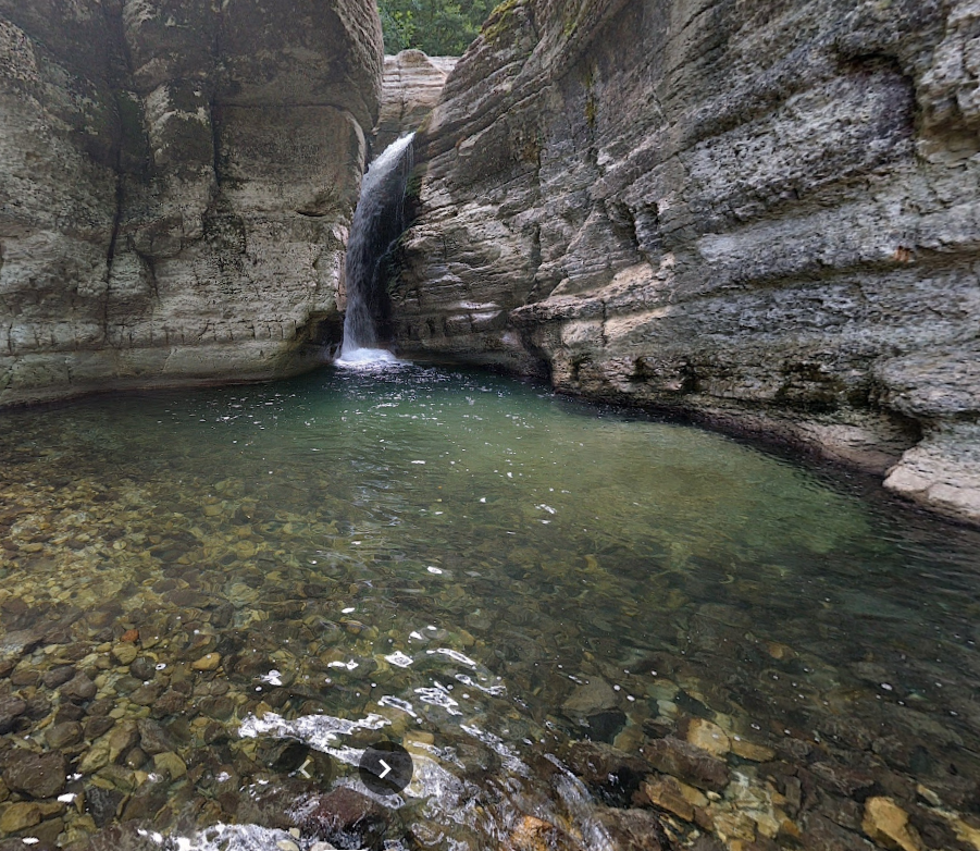
Lomina is the best known of the group among Russian-speaking visitors, with steady search traffic on both "Lomina" and "Lomina waterfall." The route's distinctive feature is the waterfall the trail passes on the way up: a two-for-one hike.
The lake lies in the northwestern part of the group, at a relatively high elevation for this area. The approach is of medium difficulty. The shoreline is open, and camping with a view of the ridge is standard practice here. Flat ground for tents is available nearby, and lake water is drinkable once filtered.
💧 Shemorevi: an Open High-Altitude Bowl
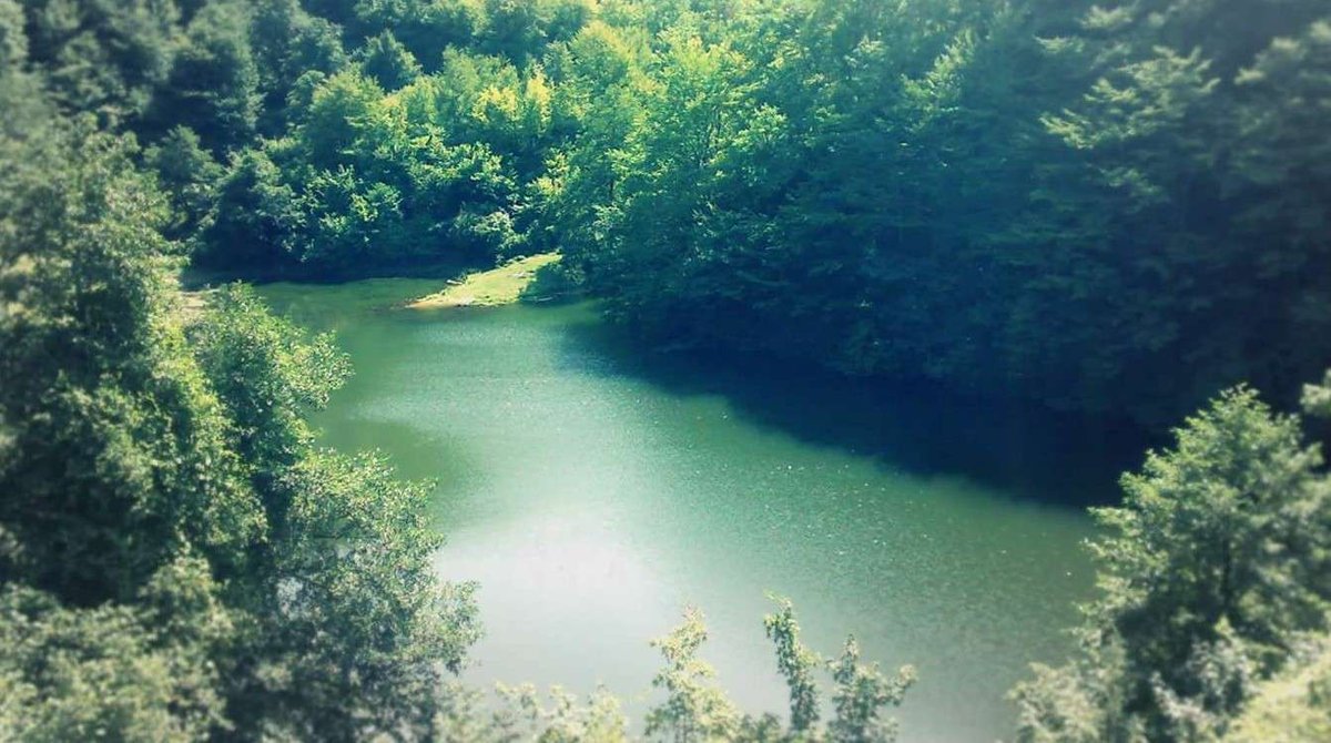
Shemorevi draws solid Georgian-language search demand, at position 2.1, but conversion into actual visits remains low — exactly the gap this guide aims to close.
The lake sits in the eastern part of the group, in an open cirque without forest cover. The surrounding terrain is alpine, walled by rock, with snowfields lingering into July. The approach from the nearest village takes a full day. The reflection of the ridge in still water is the site's defining image.
💧 Devi: on the Ridge Crest
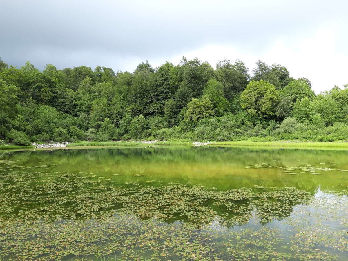
Devi is one of the highest-altitude lakes in the group. A long approach with no convenient access road, and genuine mountain experience required. In exchange, it offers something rare in this area: a shore where even day-trippers never reach.
The lake lies near the border with Samegrelo. The trail climbs through beech forest, then through a subalpine rhododendron zone, then along an open ridgeline. Camping at the lake is essentially mandatory unless you start very early.
💧 Gurgumela: Remote and Quiet
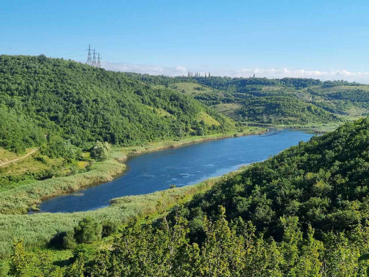
Gurgumela sits in the eastern part of the group. Search data is minimal: just 5 impressions a year, but at position 1.0 — meaning anyone who searches for this specific lake finds the catalogue page immediately, even though few people are searching yet.
A long approach through forest, with several climbs along the way, makes Gurgumela a route for those seeking full isolation. The nearest accommodation is several hours' walk away.
💧 Gulouri: the Southernmost Lake
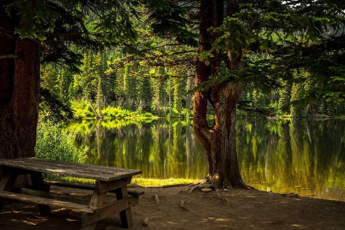
Gulouri is the southernmost lake of the group by coordinates. Interest is moderate, and the approach is long, but the route combines well with an overnight stay and exploration of neighbouring valleys. It's a good location for a first mountain camp in Imereti: the terrain isn't extreme, and sheltered tent spots exist.
💧 Oskhapo: Through Rhododendron to a Mountain Bowl
Oskhapo is one of the better-positioned lakes in Georgian search results, though still without clicks. The trail passes through Imereti's typical rhododendron belt: a sea of pink blossom in June.
💧 Cracked Lake, Theodore and Tabarauli: the Small Gems
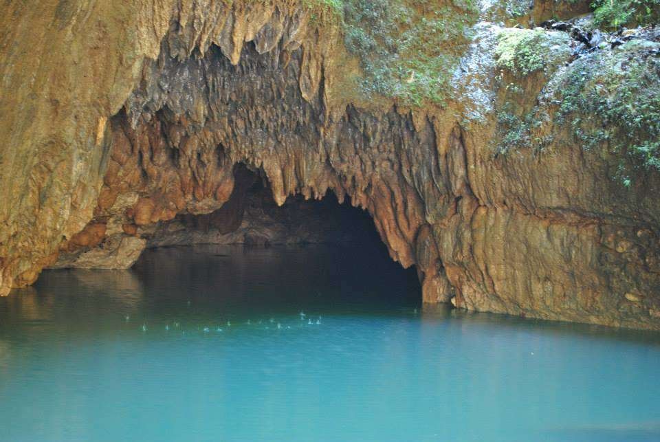
Three lakes in the western part of the group sit close together. Cracked Lake is named for the distinctive shape of its shoreline. Lake Theodore and Tabarauli lie so close to each other, within a few kilometres, that combining both into one day is the natural choice.
All three are largely absent from travel sources, which is precisely what makes them worth seeking out.
🥾 Getting There and Where to Start
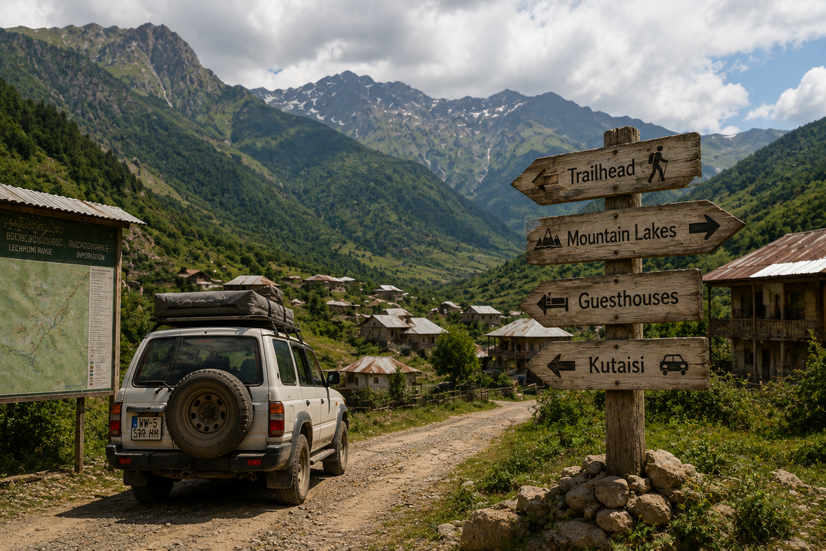
Kutaisi and Tskaltubo are the base towns for every route in this guide. From Kutaisi it's easiest to arrange transport to the villages at the foot of the ridge. Most approach roads are unpaved, and parts become impassable for ordinary cars after rain. A 4WD or high ground clearance simplifies the logistics considerably.
Marshrutkas run from Kutaisi to several villages, though schedules are irregular — check the day before. Guesthouses exist in a handful of villages near the trailheads, but booking ahead is essential since space is limited. The Kutaisi tourist information centre is the best first stop for current trail conditions and contacts for local guides.
🥾 Three Route Options
🌿 Nature: Rhododendron, Trout and Glacial Origins
The lakes of Imereti formed during the late Pleistocene, when retreating glaciers left depressions in the mountain cirques that filled with meltwater and sediment. Today most are fed by spring snowmelt and surrounding springs. Water levels drop slowly through summer, reaching their lowest by September.
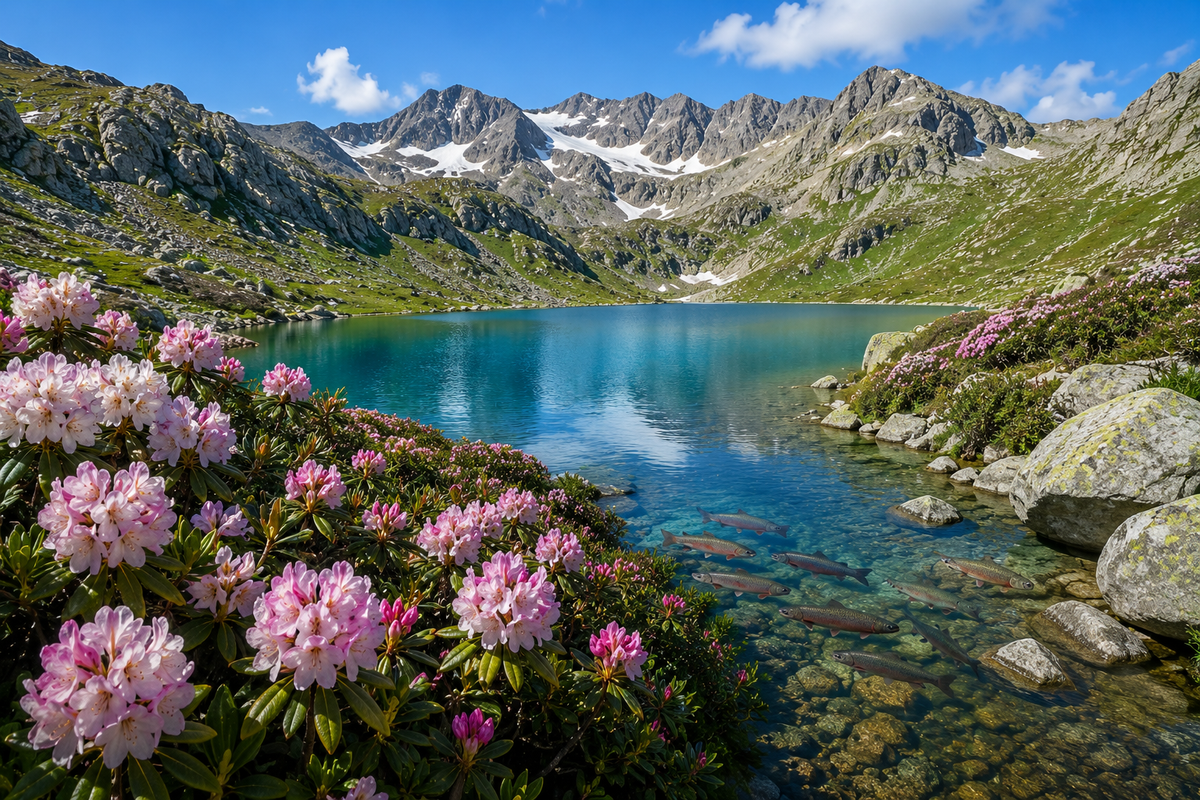
The defining flora along the trails is Rhododendron caucasicum. It forms dense thickets at elevations of 1,800 to 2,400 metres and blooms in June and July. During that window the trails turn into pink-and-white tunnels — one of the most striking sights in the Caucasus. Lower on the slopes, beech and conifer forest takes over, including Caucasian fir and Kokh's pine.
The lakes hold trout, a marker of clean water. Fishing isn't prohibited in most spots but requires a Georgian licence. Along the shores you might spot Caucasian snowcock, chamois, or bear: the animals here aren't hunted, so they're notably less wary than elsewhere.
📌 Trekker Checklist
📄 Download the Offline PDF Guide
A location map, GPS coordinates for every lake, routes and a checklist. Works without signal on the trail.
Have you hiked to the lakes of Imereti? Leave a review: tell us which lake you reached, how the trail went, how long it took, and what surprised you most. Your experience helps others still planning their route.
Information is current as of June 2026. Trail conditions, road access to the villages and guesthouse availability change with the season — check ahead.
❓ FAQ
💬 More than ten high-altitude glacial lakes lie in northern Imereti along the Lechkhumi and Samegrelo ridges. The main ones: Legvani, Gogni, Lomina, Shemorevi, Devi, Gurgumela, Oskhapo, Gulouri, Tabakuro, Cracked Lake, Lake Theodore and Tabarauli. Elevations range from 1,600 to 2,700 metres.
💬 The season runs July through September. Snow still covers parts of the trails in June. August is the best month: snow has melted, trails are dry, and the weather is more stable. Rhododendron blooms in June and July, lining the trails in pink. Weather worsens sharply after 20 September.
💬 Kutaisi is the base town. The villages at the foot of the ridge sit 40 to 120 km away on unpaved roads, requiring a 4WD or high clearance. Marshrutkas run to some villages but irregularly. The Kutaisi tourist information centre can provide current contacts for drivers and guides.
💬 It depends what matters most to you. Gogni for its turquoise water and the rhododendron bloom on the approach. Lomina for the waterfall on the way. Legvani for accessibility and how photogenic it is. Shemorevi for its open mountain bowl and ridge reflection. Each lake has its own character depending on the time of day and the light.
💬 Yes, most lakes have flat ground suitable for a tent. There are no rules against camping. You'll need a well-insulated tent (nights are cold even in August), a stove (there's no firewood near most shores), and enough food. Filter lake water before drinking.
💬 Rhododendron caucasicum, a shrub one to two metres tall with white or pink flowers, forming dense thickets at 1,800 to 2,400 metres. It blooms in June and July. During that window the trails through it become one of the most striking sights in the Caucasus. The rest of the year the bushes form a dense green tunnel.
💬 For most of the starting villages, yes. Some approach roads are technically passable in a regular car in dry weather, but even simple dirt tracks turn into a real challenge after rain. Renting a 4WD in Kutaisi or arranging a local driver through a guesthouse is the most reliable option.
💬 Usually yes in the villages at the foot of the ridge, but mostly no on the trails or at the lakes themselves. Download an offline map of the region in advance (Organic Maps covers this area well). Let someone know your route and expected return time.

4 comments
Log in to leave a comment