



Add organization

Lake Devi, Imereti, Georgia

Unknown
Updated at:
4.7/3 reviews
Lake Devi
Озеро Деви
  • General
  • Description
  • How to arrive
  • Service types
  • QnA

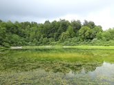
The history and origins of Lake Devi, along with the legends attached to it, are covered in the blog article on Lake Devi. This card provides practical information for those who've already decided to visit: the lake sits at the foot of the southern slope of the Racha Range, at 1370 metres elevation, in Sachkhere Municipality.

Devi, among the expedition routes of northern Imereti with an equipment checklist and logistics, is featured in the guide to the high-mountain lakes of Imereti. It's one of the three hardest-to-reach lakes in the region, alongside Gurgumela and Gulouri, making the trip here a proper mountain expedition rather than an easy day hike.

The mountainous terrain and significant elevation call for careful route planning: a 4x4 is advisable, allow extra time for changing weather, and check road conditions before setting out, especially in the shoulder seasons. Summer and early autumn remain the most reliable times to visit.
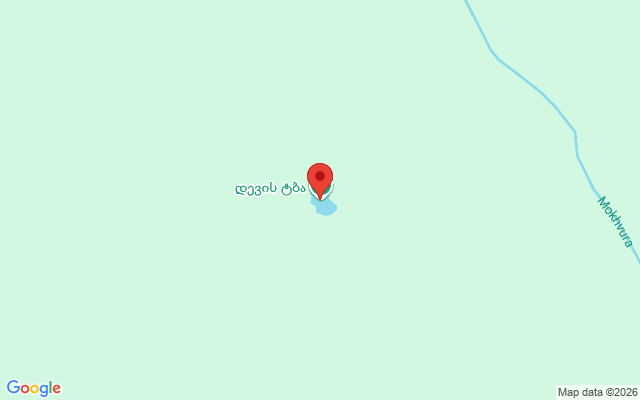
🚗 By car: at the foot of the southern slope of the Racha Range, Sachkhere Municipality, about 52 km in a straight line northeast of Kutaisi (plus code C7JQ+FG Mokhva). Coordinates: 42.43121, 43.28877.
🚌 Without a car: marshrutka from Kutaisi to Sachkhere, then local transport or a taxi.

❓ Frequently Asked Questions

🏔️ What is Lake Devi?

A lake at the foot of the southern slope of the Racha Range, at 1370 metres elevation, in Sachkhere Municipality.

🗺️ How does this card differ from the blog article?

This card provides practical data, coordinates and route; the blog article covers the lake's history and legends.

🏊 Can you swim there?

Not confirmed, check on site.

🚗 Is the road difficult?

The elevation and mountainous terrain call for careful driving; a 4x4 is advisable.

📅 Best time to visit?

Summer and early autumn, when mountain roads are most passable.

🗺️ What's nearby?

Gurgumela and Gulouri, two other remote lakes in the region.

Location map
Click to load interactive map

Do you want to increase the number of clients by 5 times?

Choose premium placement on Madloba and attract customers who are currently leaving for your competitors.

I want
3 reviews
Give a rating
Upload photos
  • ₭
    ₭ₐ𝕥𝚢𝐚 ℝ𝑒𝐚đ𝑒ℝ

    Его чистая вода и величественные горные пейзажи оставили незабываемые впечатления. Этот уголок природы вдохновил меня на новые идеи для статей о природных достопримечательностях Грузии.

  • Ф
    Фёдор Канц

    Очень красивое место, тропа средней сложности. Много комаров, что следует учитывать. И лес слишком непроходимый, и места для палаток выбрать сложно.

  • М
    Марина Орлова

    Озеро Деви – это настоящая жемчужина Имерети, окутанная волшебством и природной красотой. Когда я первый раз ступила на его берега, меня просто захватило это величественное зрелище. Здесь, на высоте 1370 метров над уровнем моря, я ощутила, как сливаются воедино тишина леса и мелодия журчащей воды. Два карстовых воронка, словно глаза природы, привлекают взгляд своим загадочным обликом.

    Путешествие к озеру Деви стало для меня настоящим открытием сокровищ грузинской природы. По пути к нему, вдоль 4-километровой пешеходной тропы, я прониклась ароматами лесных трав и наслаждалась каждым мгновением, проведенным в общении с природой. Лагерь у озера позволяет остановиться и насладиться его красотой в полной мере, узнавая все его секреты. Вечером, под звездным небом, собранном из тысяч сверкающих точек, я почувствовала, что время остановилось, и я стала частью этой волшебной природы, пронизанной тишиной и гармонией.