




💧 The Surami Waterfall at Bijnisi Village: Where It Is and What Is Actually Known
💧 Bijnisi Waterfall: The Essentials
A waterfall by the village of Bijnisi, part of the Surami community in Khashuri Municipality. It sits on the southern slopes of the Likhi range, about four kilometres north of the centre of Surami. Its proximity to the spa town means it is often called the Surami waterfall, and it is searched for under both names.
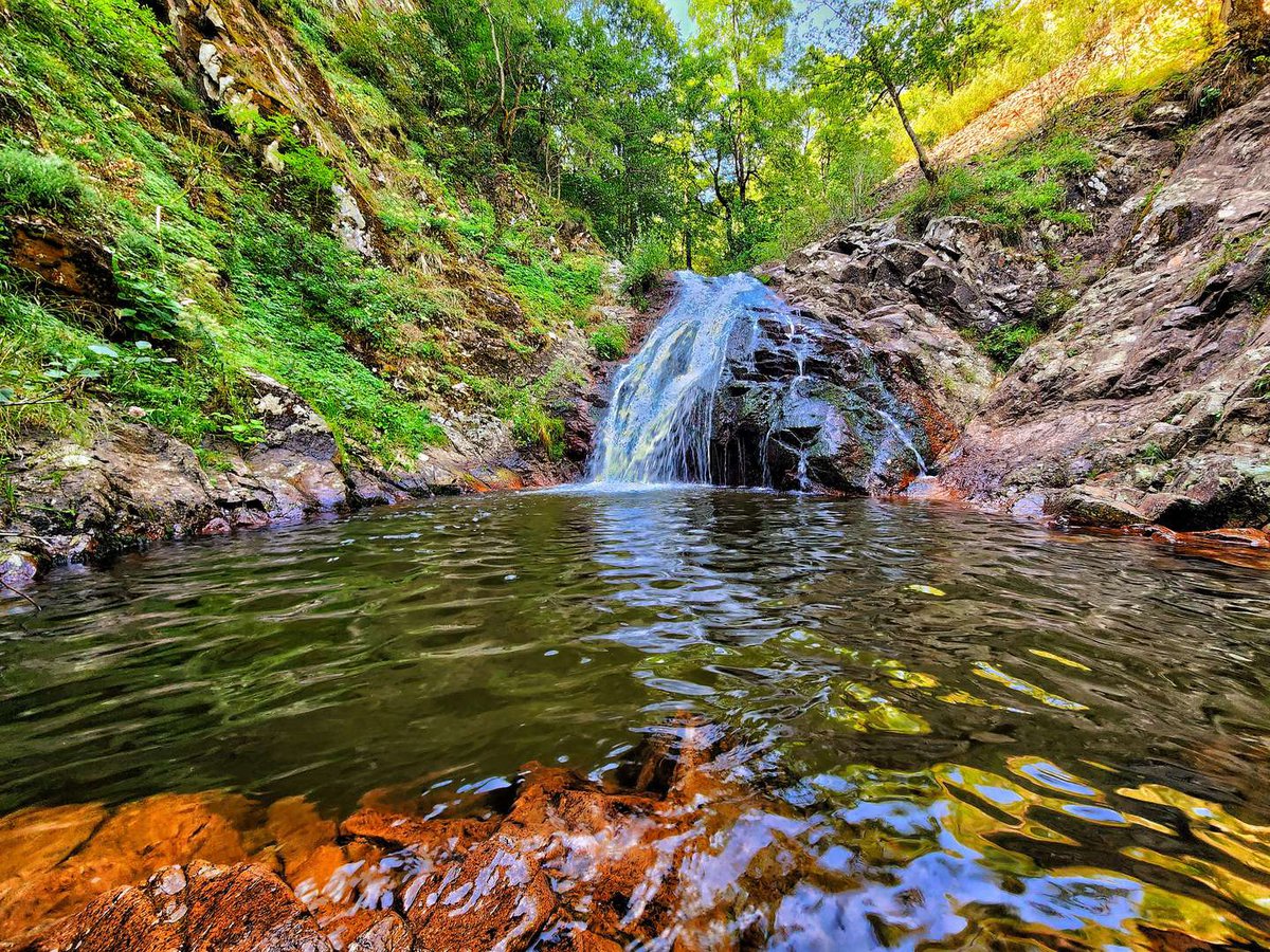
Bijnisi Waterfall lies in Khashuri Municipality, Shida Kartli, near the village of Bijnisi, which belongs to the community of the spa town of Surami.
It is a little-known site, and guidebooks barely describe it. What it does have is two names and a curious position on the map, which is worth explaining on its own.
🈁 Bijnisi or the Surami Waterfall
Both names circulate, and both refer to the same water.
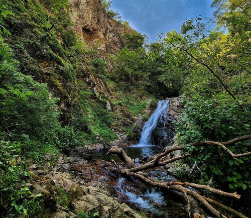
Bijnisi Waterfall ties it to the nearest village. This is the principal form and the one most often used in search.
The Surami waterfall ties it to the larger neighbour. The logic is simple: Surami is known, Bijnisi is not, so the site gets attached to the more recognisable point.
One note on spelling. The Georgian is ბიჯნისი, where the letter ჯ gives 'j' as in 'jam'. So Bijnisi is correct; the form 'Bizhnisi', which turns up in some Russian-language descriptions and in our own catalogue, would require the letter ჟ, which the name does not contain. It came from an imprecise transliteration and spread from there.
⛰️ The Place Where Georgia Divides in Two
Here is what is genuinely interesting about the position of this waterfall.
It stands on the southern slopes of the Likhi range. And the Likhi range is not merely a set of hills: it divides the western and eastern halves of Georgia and forms the link between the Greater and Lesser Caucasus. The Rikoti pass crosses it, carrying the country's main road connection.
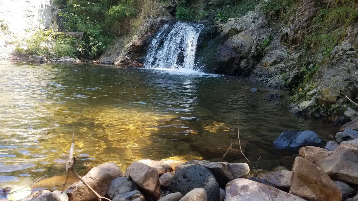
The difference between the two halves is felt literally. East of the range lies a dry continental climate: Kartli, Kakheti, the vineyards of the Alazani valley. West of it lie humid subtropical Imereti, the Colchian lowland, different vegetation and a different cuisine.
Surami sits on the southern slopes of this divide, at 740 metres. That is precisely why it became a climatic spa town: the air here was reckoned curative long before the settlement received official status in 1926.
The waterfall lies higher up the slope, north of the town. Climbing to it means walking towards the boundary between the two Georgias.
🏘️ What Kind of Village Bijnisi Is
Bijnisi is one of the five villages of the Surami community. The others are Didi Bekami, Patara Bekami, Zekota and Urtkhva.
Surami itself, the community centre, counted 7,492 residents in 2014. For Shida Kartli that makes it a substantial settlement, and by Georgian standards a fully fledged spa town with a long-standing reputation.
The S1 motorway passes north of the town, and roads link Surami with Khashuri and with Kharagauli on the western side of the range.
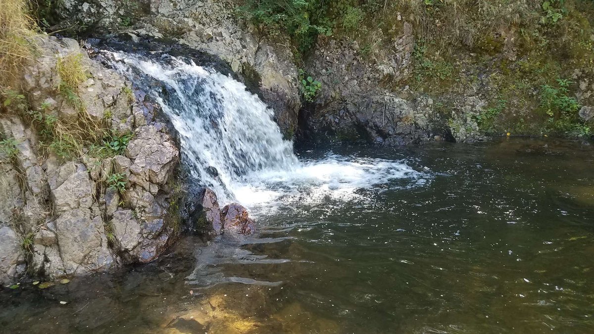
For a visitor that means the waterfall is not out in the wilds. The nearest major road is close by, and getting here is easier than to most of the natural sites in Shida Kartli we have written about.
🚗 Getting There and What to Expect
Your reference point is Surami, on the Tbilisi to Kutaisi highway, roughly two hours from the capital. Marshrutkas and trains run to Khashuri, and Surami is very close from there.
From the centre of town it is about four kilometres north, up the slope. The village of Bijnisi serves as the landmark.
Beyond that begins territory I will be straight about: there is no description of the final stretch in any source. Where the driveable road ends, how far you walk and what condition the path is in are all unknown. Allow spare time and ask locally; in Surami they will tell you more about the neighbouring village than any guidebook.
As for the season, the same logic applies as to every waterfall in the region: more water in spring and early summer, a weaker flow by late summer, and possible snow closing the approach in winter. That is a general rule rather than verified observation of Bijnisi specifically.
🧭 What to See While You Are Here
Having come as far as Surami, it makes sense to combine the waterfall with the town itself. There is half a day's worth here.
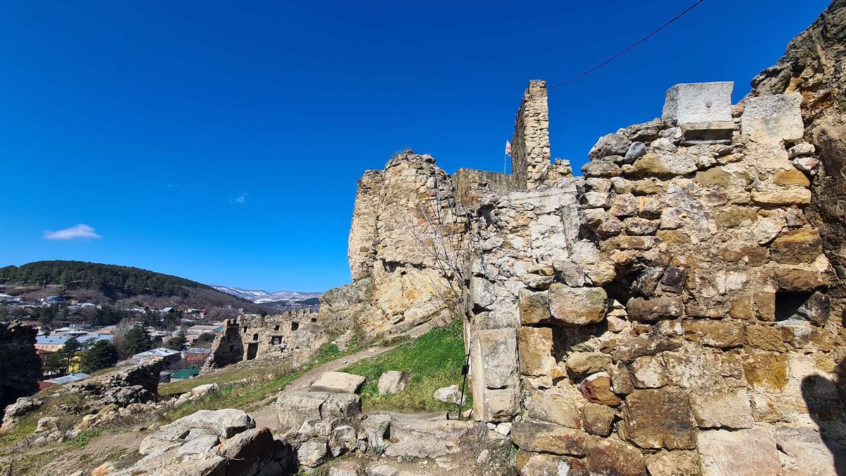
Surami fortress on its rock, the one thousands of people drive past on the road from Tbilisi to Kutaisi without turning off. There is a separate piece on it and on the town: Surami.
Itria Monastery within the town, with its sixteenth-century Dormition church and a history recorded by Takaishvili back in 1889.
Koditskaro Lake, ten kilometres from Khashuri in the other direction, if you want to add another natural stop.
Khashuri and its nazuki, the nearest town and the gastronomic point on the route.
Been to Bijnisi Waterfall? Leave a review on Madloba, and it will be unusually valuable: there is almost nothing written about this place online. Tell us how far you drove, how far you walked, what the water was like and which month you were there.
Information is current as of August 2026. Data on the height of the fall and the condition of the path are absent from open sources, so check the details locally before you travel.
❓ Frequently asked questions
💬 In Georgia, Shida Kartli region, Khashuri Municipality, near the village of Bijnisi in the Surami community. About four kilometres north of the centre of Surami, on the southern slopes of the Likhi range.
💬 After the nearest recognisable settlement. Surami is a spa town and the centre of the community Bijnisi belongs to. Both names refer to the same waterfall.
💬 Bijnisi. The Georgian is ბიჯნისი, where the letter ჯ gives 'j'. The form 'Bizhnisi' would require the letter ჟ, which the name does not contain; it came from an imprecise transliteration.
💬 The watershed between western and eastern Georgia and the link between the Greater and Lesser Caucasus. The Rikoti pass crosses it. East of the range the climate is dry and continental; west of it, humid subtropical.
💬 There is no confirmed figure. The height, the length of the path and the time it takes are not described in available sources, so quoting numbers would be guesswork.
💬 By the general logic of waterfalls in the region, there is more water in spring and early summer, a weaker flow by late summer, and snow may close the approach in winter. No seasonal observations specific to Bijnisi appear in the sources.
💬 To Surami on the Tbilisi to Kutaisi highway, around two hours from the capital. From there about four kilometres north, with the village of Bijnisi as the landmark. Where the driveable road ends and how far you walk is best checked in Surami itself.
💬 Surami fortress, Itria Monastery with its sixteenth-century Dormition church in the same town, Koditskaro Lake ten kilometres from Khashuri, and Khashuri itself with its nazuki.

5 comments
Log in to leave a comment
我觉得文章提到的“苏拉米”这个名字的由来很有趣,但如果能多一些关于村子文化的细节就好了,可能会让这个故事更完整。你知道,探险不仅仅是自然的美,也是人文的魅力。还有,那里的饮水条件如何呢?我们总担心爬山的时候没有水可喝。
我心里有些矛盾,兴奋和疲惫交织在一起。一路上,呼吸变得急促,腿也开始酸痛,但想着到达那神秘的瀑布,忍不住就向前冲。最终,看到瀑布倾泻而下的那一刻,所有的辛苦都烟消云散,只剩下涌动的水声和心底那份平静。人生有时候就是这样的错综复杂,值得去被体验。