




💧 What to Know About Koditskaro Lake in Shida Kartli: The Road, the Ridge and an Abandoned Village
💧 Koditskaro Lake: What to Know Before You Go
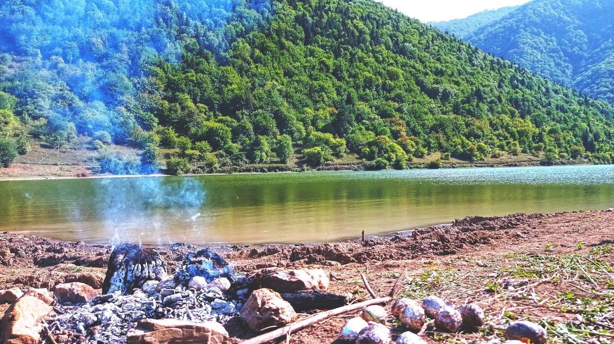
A small lake in Khashuri Municipality, Shida Kartli, on the Trialeti range about ten kilometres from town. Beside it stands the former village of Koditskaro, cleared in the 1960s. There is no infrastructure at the lake whatsoever, but there is forest, open meadow and a quiet that is getting hard to find in Shida Kartli.
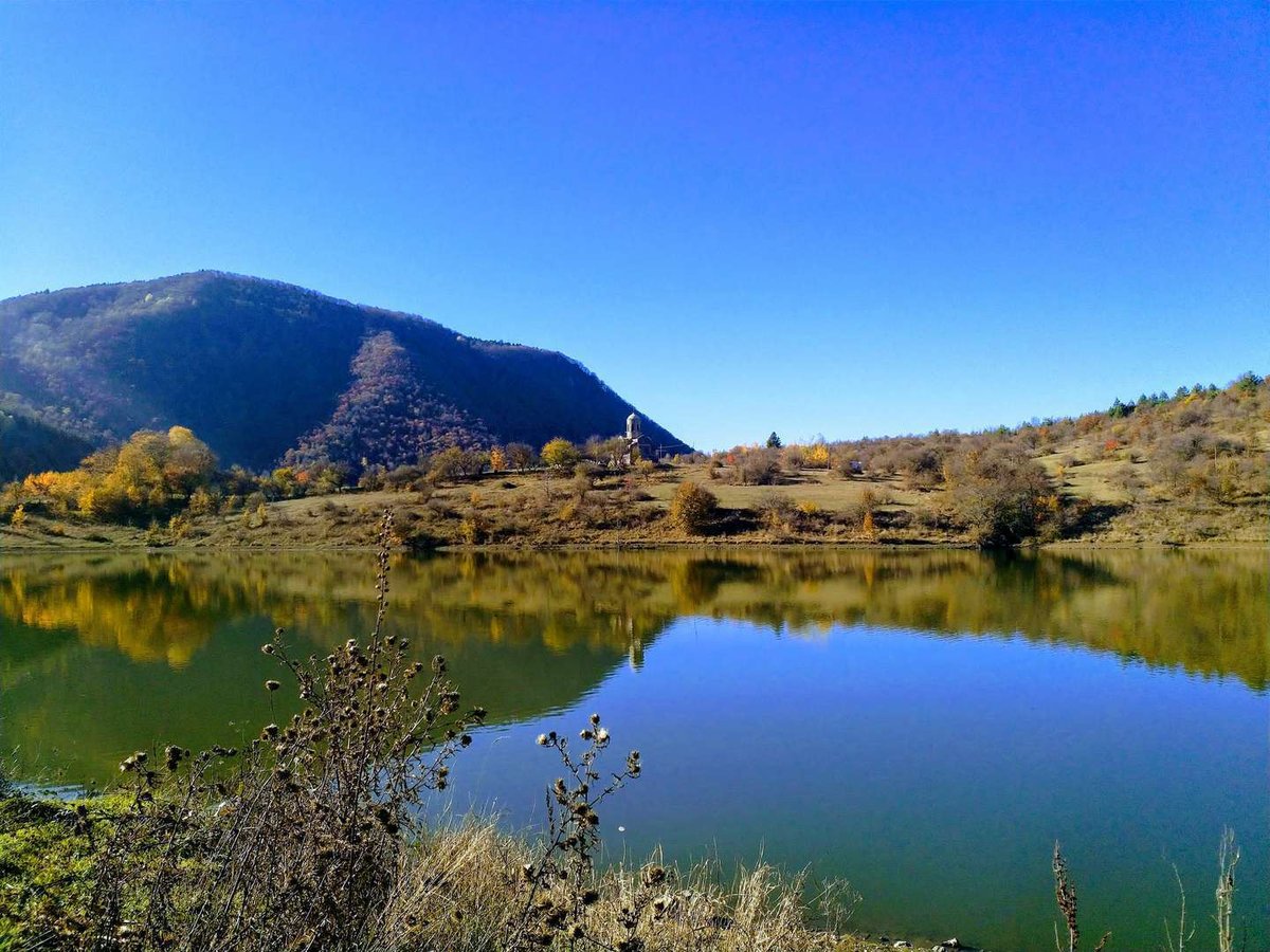
Koditskaro Lake is a small body of water on the northern slopes of the Trialeti range, in Khashuri Municipality, Shida Kartli, beside the former village of the same name.
The place is known mainly to locals. It gets searched noticeably harder in Georgian than in any other language, almost always in a single phrasing. Yet the site still has no clear description anywhere, while it does have two contradictory accounts of its origin and the whole story of a village that no longer exists. Start with those.
📍 Where Koditskaro Lake Is
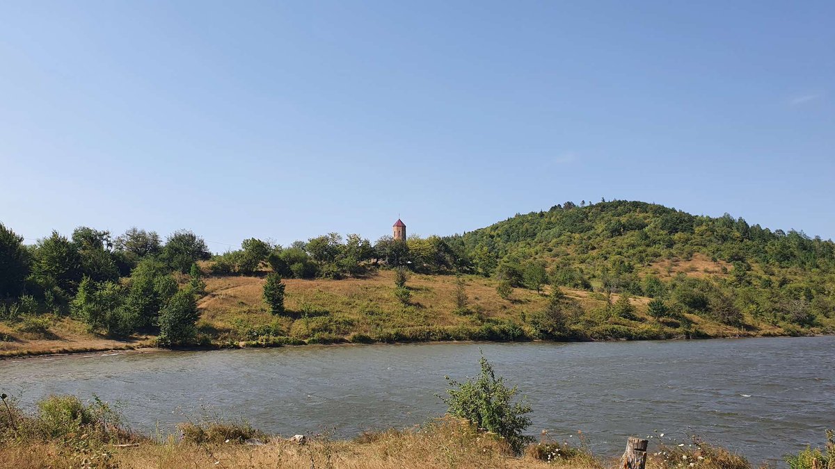
Your reference point is the town of Khashuri on the Tbilisi to Kutaisi highway. From there a road climbs south towards the Trialeti range, and the lake lies about ten kilometres away.
More precisely, the water sits at the foot of the Gorinamkala ridge, on the upper part of the slope. Travel references give an elevation of around 975 metres above sea level and a depth of seven to eight metres. No official hydrological description is publicly available, so treat both figures as an indication rather than a measurement.
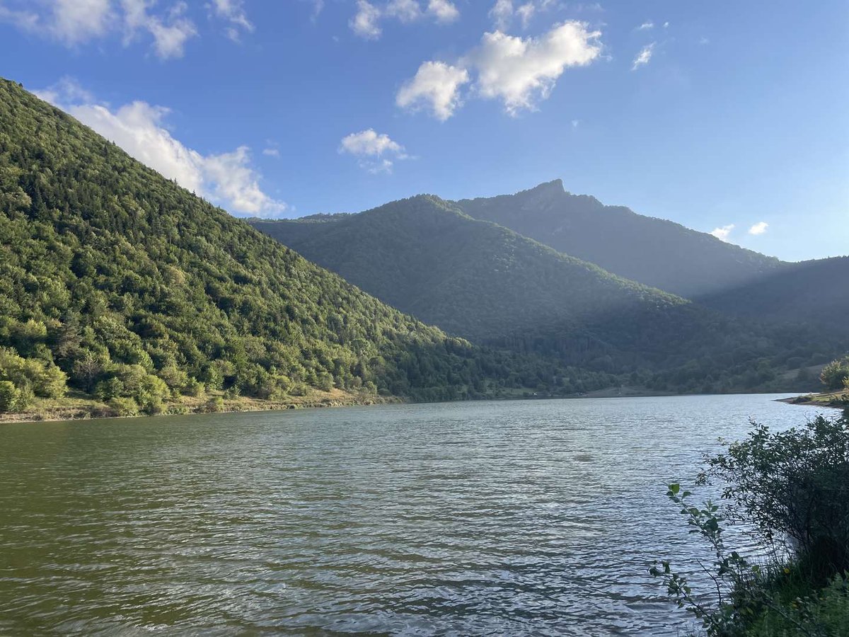
A word on the phrase 'high-mountain lake', which turns up in descriptions. At roughly a thousand metres this is foothill country, the forest belt. There are no alpine meadows and no bare slopes here: wooded hills and open clearings instead.
The name is written two ways in Georgian, კოდიწყარო and კოდისწყარო. Both appear in sources, the first considerably more often.
💦 Natural Lake or Soviet-Era Dam
This is where the sources part company, and it is the most interesting question about the place.
The first account, natural. Travel references describe Koditskaro as a body of water fed by groundwater. The name lends indirect support: its second element means 'spring'.
The second account, man-made. The Khashuri outlet Qartli.ge relays what local residents say: the lake is artificial and was dammed in the Soviet period. In that same piece the water is called a reservoir rather than a lake.
No document exists in the public domain to settle the argument. It is more honest to hold both accounts in mind, particularly since they do not entirely rule each other out: a dammed body of water can perfectly well be fed by springs, and that is exactly how many small foothill waters work.
🏚️ The Village That No Longer Exists
Everyone writes about the lake and almost nobody about the village, yet the story there is the stronger one.
Koditskaro is a settlement that does not exist. Georgian sources list it as a nasoplari, a place where a village once stood. Figures for 1925 record 35 households. The surnames are given individually: Nozadze, eighteen households; Kurtanidze, eleven; Tsitskishvili, five; Lomidze, one.
In the 1960s the village was dissolved and its residents moved to Khashuri. The sources do not name the reason. So a lake was left on the slope of the Trialeti range, and no people were.
It is tempting to connect the two dates: if the account of a Soviet dam holds, then the resettlement and the appearance of the water could have been parts of one decision. But there is no direct evidence for that, and passing a guess off as a fact is not worth it. For now these are simply two events that happened on the same slope within roughly one decade.
🈁 Where the Name Comes From
The name is a compound of two words. The second element, tskaro, means spring, and it recurs constantly in Georgian place names. The first, kodi, is a hollowed wooden vessel that also served as an old measure for grain.
That gives 'the spring by the kodi', or 'the kodi spring'. Quite how the association arose, the sources do not explain: either such a vessel stood at the spring, or the shape of the spring itself recalled a hollowed log.
It is this compound origin that produces the two spellings, joined as კოდიწყარო or with a linking consonant as კოდისწყარო. That affects searching; it does not affect the meaning.
🚗 Getting to the Lake
There is no public transport here. That leaves two realistic options: your own car, or a taxi from Khashuri with the return time agreed in advance.
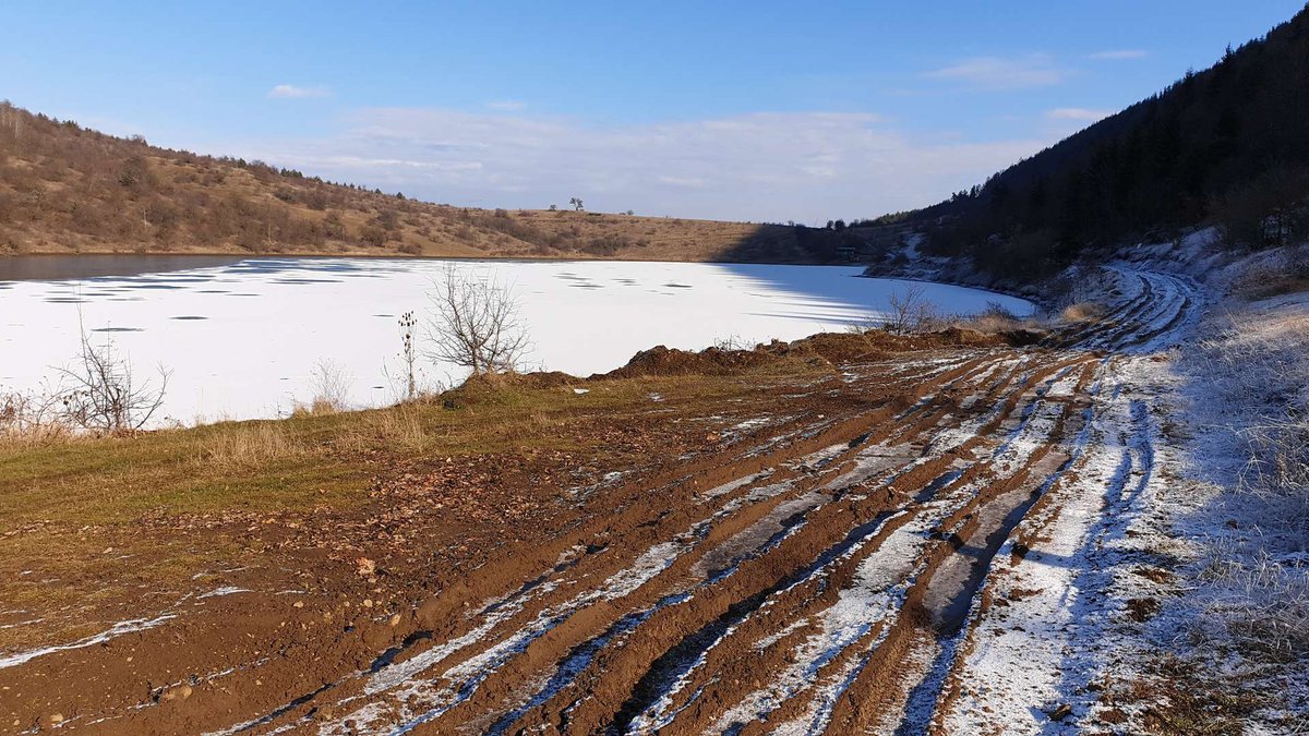
The road climbs from Khashuri towards the former village. Khashuri municipality levelled the access track with a tractor, and in good weather people make the climb in an ordinary car. Rain changes things: the surface on the ascent turns soft, and without four-wheel drive it is better not to attempt it.
A note on navigation. The village is on the maps, but almost no live landmarks remain along the way, so it is worth saving the point offline and not counting on signposts.
🗓️ When to Go and What Waits at the Water
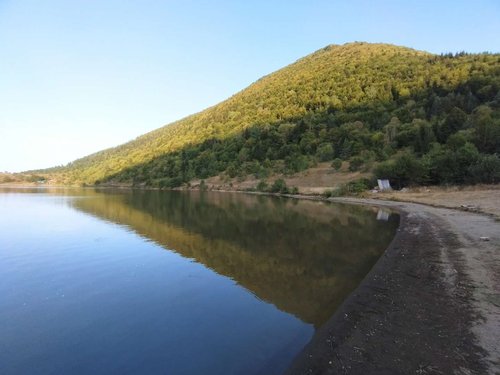
The season is set by the road rather than by the lake. The best window runs from late spring to mid-autumn, while the gravel is dry. In autumn the forest does the work: the slopes of the Trialeti range turn yellow, and that is the best time for photographs. In winter people generally do not make the climb.
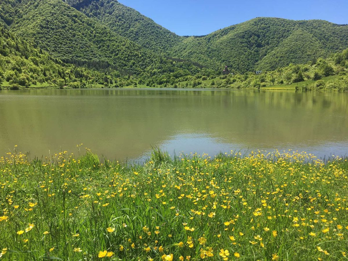
What waits at the top is water, forest and clearings. Nothing else. No café, no toilets, no bins, no made path down to the water. Whatever you carry in, you carry out.
The sources say nothing about fish in the lake, so do not count on fishing. Swimming is not organised either: the banks are wild, the bottom unknown, and the depth per travel references runs to seven or eight metres. If you do go in, do it at your own risk and certainly not alone.
People from Khashuri come here the way others use a weekend dacha, with food and a blanket. That is probably the most accurate way to think about Koditskaro: not a half-day sight, but a place to sit by the water for a couple of hours on the way to somewhere else.
🧭 Where to Stay and What Is Nearby
Khashuri or Surami make more sense for the night: both are close by, and the choice of accommodation there is incomparably wider.
Been to Koditskaro? Leave a review on Madloba: tell us what condition the gravel was in, whether you made it up in an ordinary car, and whether anyone on site had anything to say about the village or where the water came from.
Information is current as of July 2026. The state of the access track changes after rain, and the figures for depth and elevation come from travel references, so check conditions locally before you set out.
❓ FAQ
💬 In Georgia, Shida Kartli region, Khashuri Municipality, on the Trialeti range at the foot of the Gorinamkala ridge. About ten kilometres south of the town of Khashuri, beside the former village of Koditskaro.
💬 There is no settled answer. Travel references describe it as groundwater-fed, while local residents, according to a Khashuri news outlet, speak of a dam built in the Soviet period. Neither account has documentary support in the public domain.
💬 Travel references give around 975 metres above sea level and a depth of seven to eight metres. No official hydrological description is publicly available, so treat the figures as an indication.
💬 No. Around a thousand metres is foothill and forest-belt country, not an alpine zone. The surroundings are wooded slopes and clearings rather than bare rock and high pasture.
💬 The village of Koditskaro, which no longer exists. In 1925 it counted 35 households: Nozadze, Kurtanidze, Tsitskishvili and Lomidze. In the 1960s the residents were moved to Khashuri and the village emptied.
💬 It combines two words: kodi, a hollowed wooden vessel that also served as an old grain measure, and tskaro, spring. That compound origin is why Georgian has two spellings, one joined and one with a linking consonant.
💬 South from Khashuri, about ten kilometres, with the last stretch on gravel. There is no public transport, so you need your own car or a taxi. The municipality levelled the track, and in dry weather people manage it in an ordinary car; after rain it is not worth the risk.
💬 From late spring to mid-autumn, while the gravel is dry. Autumn brings colour to the slopes of the range and makes for the best photographs. In winter people generally do not go up.
💬 The sources say nothing about fish, and swimming is not organised in any way: the banks are wild and the bottom unknown. There is no infrastructure at all, no café, no toilets, no bins, so everything you bring has to leave with you.

1 comment
Log in to leave a comment