




Koruldi Lakes: The Climb to High-Altitude Lakes Above Mestia
Koruldi Lakes at a Glance
A cluster of high-altitude lakes at roughly 2,850 metres, 10 km from Mestia. The route is honestly tougher than the Chalaadi Glacier trek, with a steep climb on the first stretch.
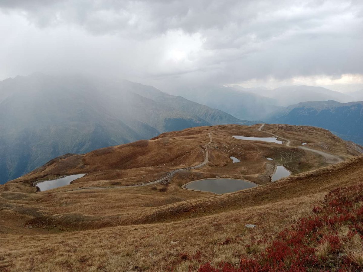
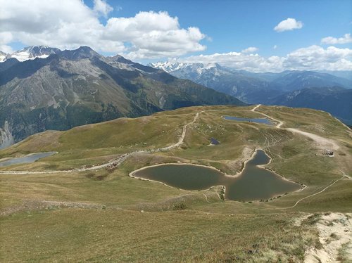
Koruldi Lakes are a cluster of high-altitude bodies of water roughly 10 km from Mestia, the administrative centre of Svaneti. The route here is one of the most recognisable in the area around Mestia: the climb to the first lake begins at around 2,850 metres and opens onto a panorama of several of the region's famous peaks at once, including Mount Ushba.
Worth being honest about the route: this isn't a weekend stroll for someone lacing up hiking boots for the first time. The first stretch is genuinely steep, which is exactly why many less-prepared travellers choose to drive to the lakes rather than walk the whole way.
📍 Where the Lakes Are
Use the village of Mestia as your navigation point, that's where the climb to the lakes begins. The distance is around 10 km, but it's not worth thinking of that in ordinary city terms: almost the entire route runs uphill through mountain terrain, so travel time comes down to elevation gain, not distance.
The Route Has Two Distinct Stages
🥾 How Hard Is It, Really
It's worth correcting a common misconception about this route as "easy, beginner-friendly." Independent accounts describe the walk to Koruldi as genuinely tougher than the popular trek to Chalaadi Glacier in the same area around Mestia, and that's not a minor detail, it matters for planning.
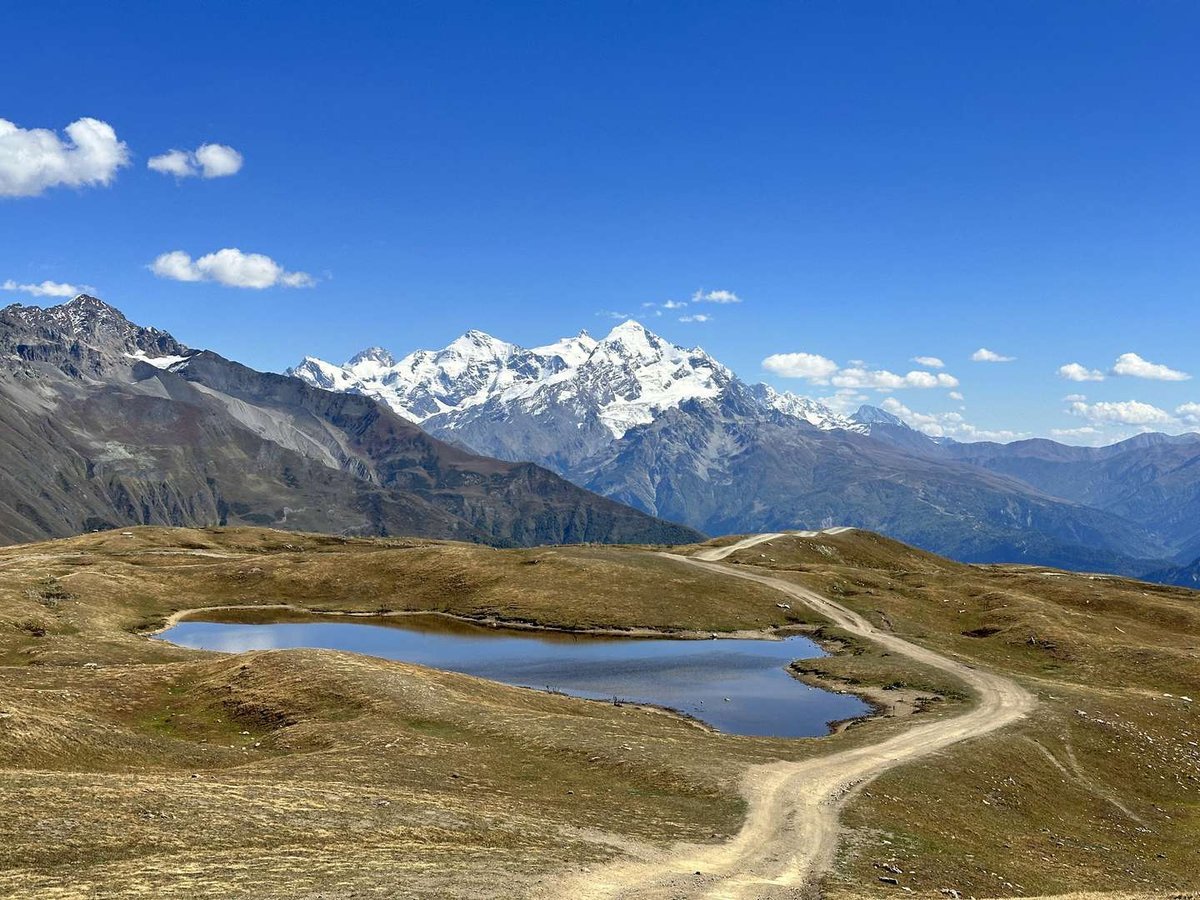
The first stage, the climb to the viewpoint marked by a cross, calls for reasonable fitness and stamina. That's exactly why a large share of visitors, especially families and anyone not up for a multi-hour climb, choose to drive up in an off-road vehicle from central Mestia instead. That's a completely legitimate and common choice, not a compromise, it's simply one of two equally valid ways to see the lakes.
The second stage, through the alpine meadows, is noticeably easier than the first, and it's where the route really comes into its own: open space, knee-high grass in summer, and the lakes appearing one after another.
👀 What You See Along the Way
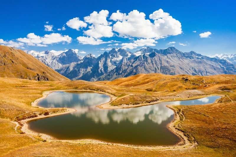
The main reason people take on the steep climb is the view. The route opens onto Mount Laila, Ushba, Tetnuldi and Shkhara, the Inguri river valley, and the village of Zemo Svaneti below. That combination, rugged high-altitude terrain and several of the Caucasus's most recognisable peaks in a single frame, is what makes Koruldi one of the most photographed routes in the region.
🚗 How to Get There
From Tbilisi, you can reach Mestia by car, by domestic flight in season, or by marshrutka, the journey takes most of a day. From Mestia itself, a dirt road, used by off-road vehicles, leads to the start of the trail on the edge of town.
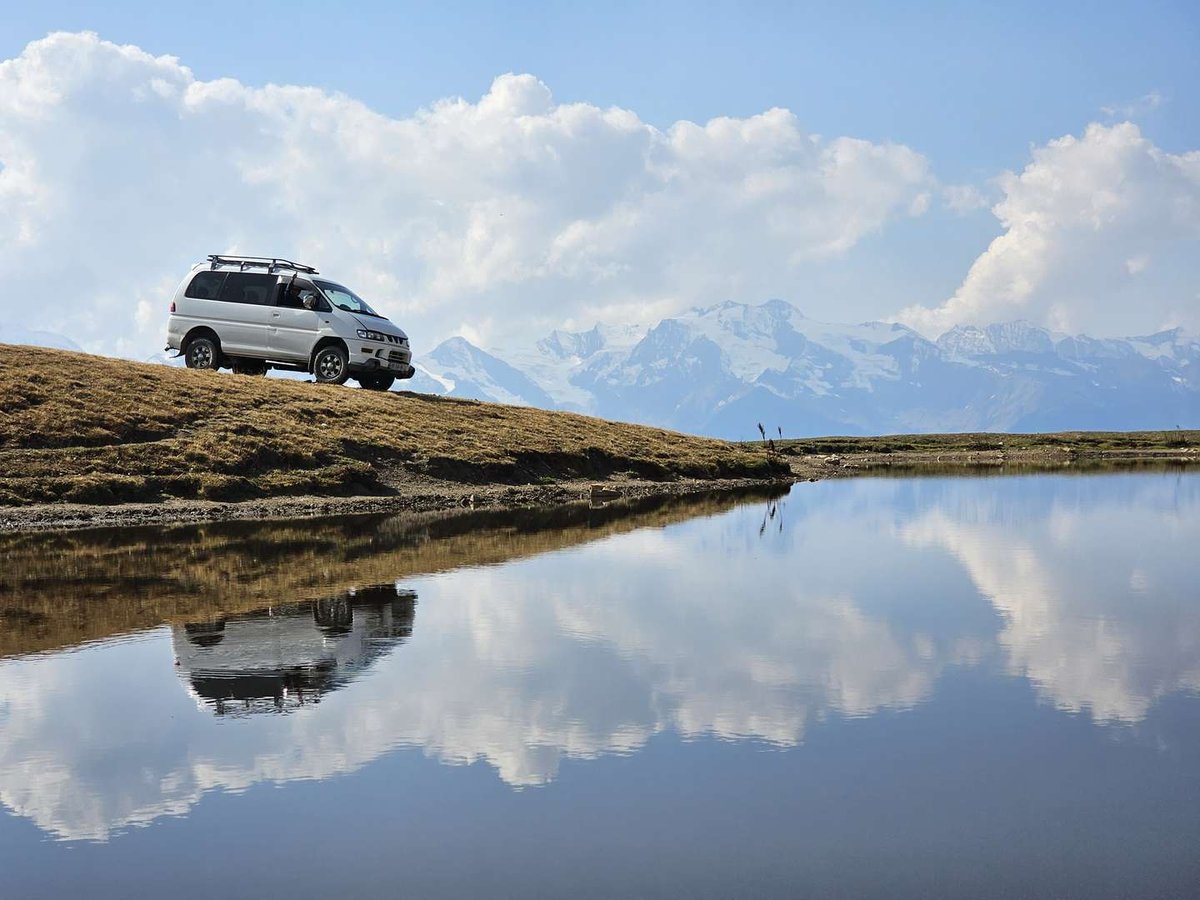
From there, the choice is simple: walk it, allowing plenty of time and energy for the steep climb, or hire an off-road vehicle with a driver, especially sensible for families with children or anyone short on time.
What to Pack
📌 What to Check Before You Go
The best time for this route is summer and early autumn, before the first frosts. Mountain weather shifts quickly, and even on a clear day it can be noticeably colder at the lakes than down in Mestia. If you're planning to walk rather than drive, be realistic about your fitness, the first climb isn't suited to anyone without mountain hiking experience.
Have you made the climb to Koruldi Lakes? Leave a review on Madloba: tell us whether you walked or drove, what the weather was like at altitude, and what first-timers should know.
Information is current as of July 2026. Road and trail conditions can change, check the current situation in Mestia before you go.
❓ FAQ
💬 About 10 km from Mestia, the administrative centre of Svaneti, at roughly 2,850 metres above sea level.
💬 Not really. The first stage, the climb to the viewpoint cross, is genuinely tougher than the popular Chalaadi Glacier trek and requires reasonable fitness. The second stage, through alpine meadows, is much easier.
💬 Yes, many less-prepared travellers go by off-road vehicle from central Mestia, it's a common and completely legitimate option, not a compromise.
💬 We couldn't find this confirmed in independent sources. For lakes at this altitude, it's physically unlikely, we'd recommend not counting on warm water.
💬 A panorama of Mount Laila, Ushba, Tetnuldi and Shkhara, the Inguri river valley, and the village of Zemo Svaneti.
💬 Summer and early autumn, before the first frosts. Weather at altitude can be colder and windier than down in Mestia.
💬 Hiking shoes, a warm jacket even in summer, water and snacks, sunscreen, and a full day if you're walking rather than driving.

33 comments
Log in to leave a comment
🏞️ Что это такое
Это не одно озеро, а группа высокогорных водоёмов, которые вместе выглядят как природная галерея водных зеркал среди вершин. Озёра разбросаны на высоте, окружены альпийскими лугами и скалами, что создаёт захватывающие панорамы.
🌄 Что посмотреть
• Горные озёра с отражениями неба и вершин — идеальные для фотографий 📸;
• Альпийские луга вокруг с цветущими травами летом;
• Возможность прогулок и пикников на природе 🌿.
👣 Советы для путешествия
• Лучшее время — лето и начало осени, когда озёра полны воды и природа яркая;
• Маршруты к озёрам могут быть пешие или с элементами треккинга — возьмите удобную обувь и воду с собой;
• Свет раннего утра и закат усиливают цвета воды и гор, делая виды ещё эффектнее 🌞.
Это место отлично подходит для однодневной прогулки или мини‑похода, если хочется природы, тишины и красивых водных пейзажей.
Хотите краткий совет, откуда удобнее ехать туда — из Местии или Ушгули? 🏔️💛