




💧 Lakes of the Javakheti Plateau: A Guide to Eight Volcanic Lakes in Samtskhe-Javakheti
💧 Javakheti Lakes: The Essentials
Dozens of lakes on a volcanic plateau at around 2,000 metres, where there is no forest but plenty of wind, birds and the coldest weather in inhabited Georgia. Six of the lakes count as large, and nearly all lie within protected areas.
Samtskhe-Javakheti, the Ninotsminda and Akhalkalaki municipalities and partly Borjomi. The plateau lies between the Samsari, Javakheti and Abul-Samsari ranges, near the borders with Turkey and Armenia.
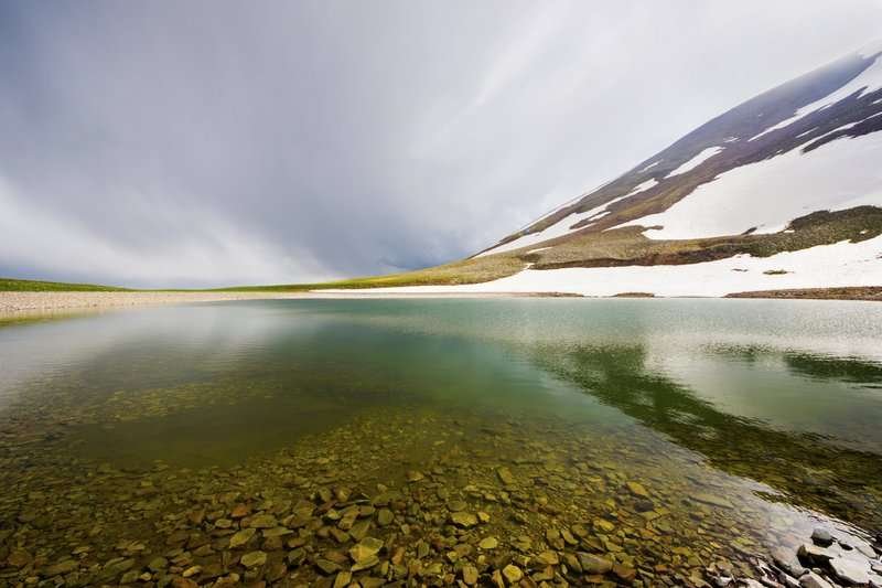
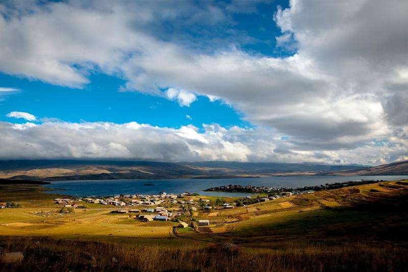
The Javakheti Plateau is a highland in southern Georgia shaped by volcanoes. Dozens of lakes are scattered across it at around two thousand metres, six of which count as large: Paravani, Tabatskuri, Khanchali, Madatapa, Saghamo and Kartsakhi. Alongside them lies a scattering of smaller ones, including Tsero and Kakhisi. Everything is gathered in the catalog on the Natural Attractions of Samtskhe-Javakheti page.
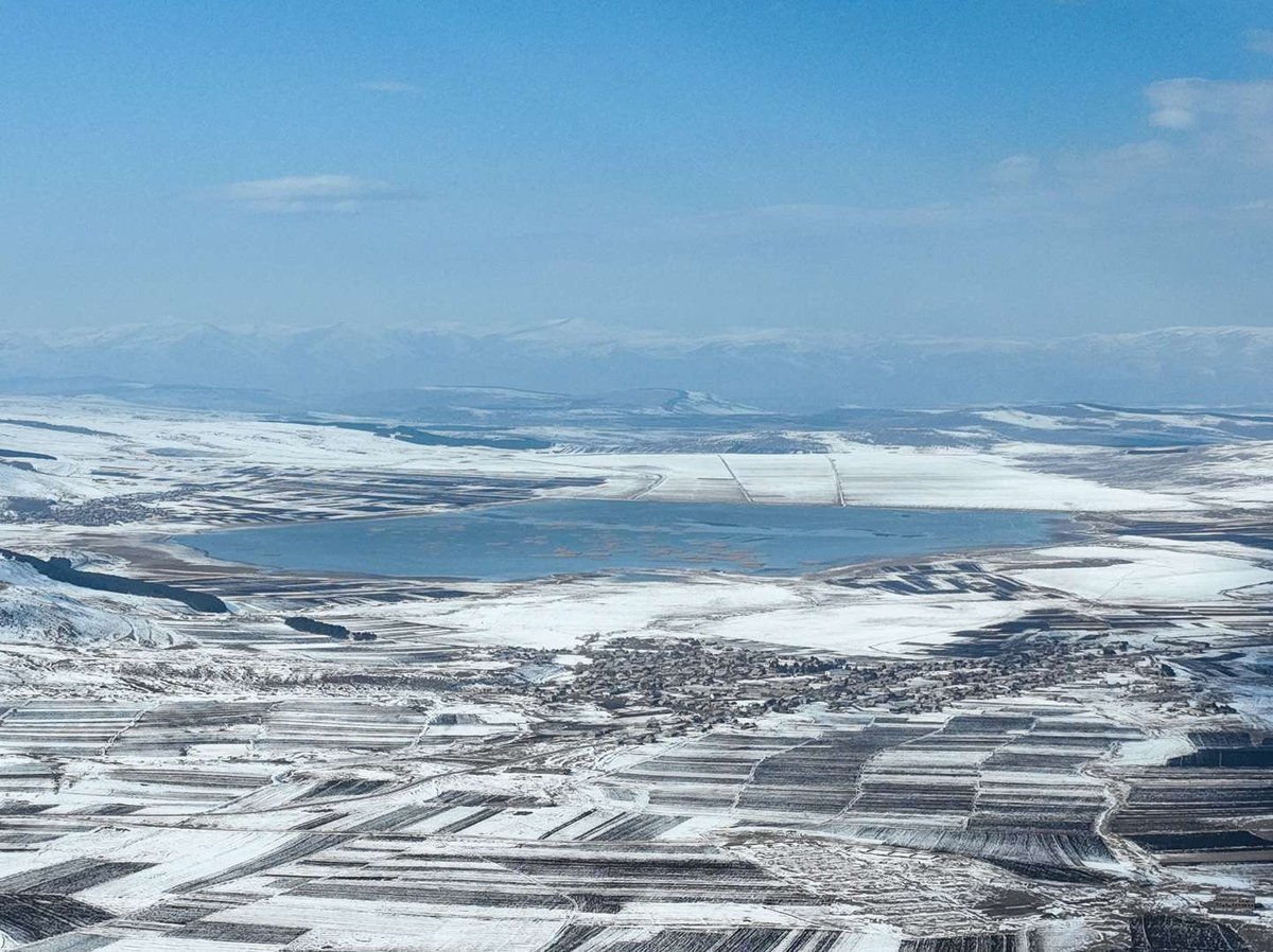
The landscape here doesn't resemble the rest of Georgia. Javakheti is treeless country: instead of gorges and greenery there's open steppe to the horizon, volcanic cones and water. The highest point is Mount Didi Abuli (around 3,300 m), and the plateau itself is reckoned the coldest inhabited place in the country. Below is what distinguishes each lake, where to watch birds and when to come.
🌋 How These Lakes Formed
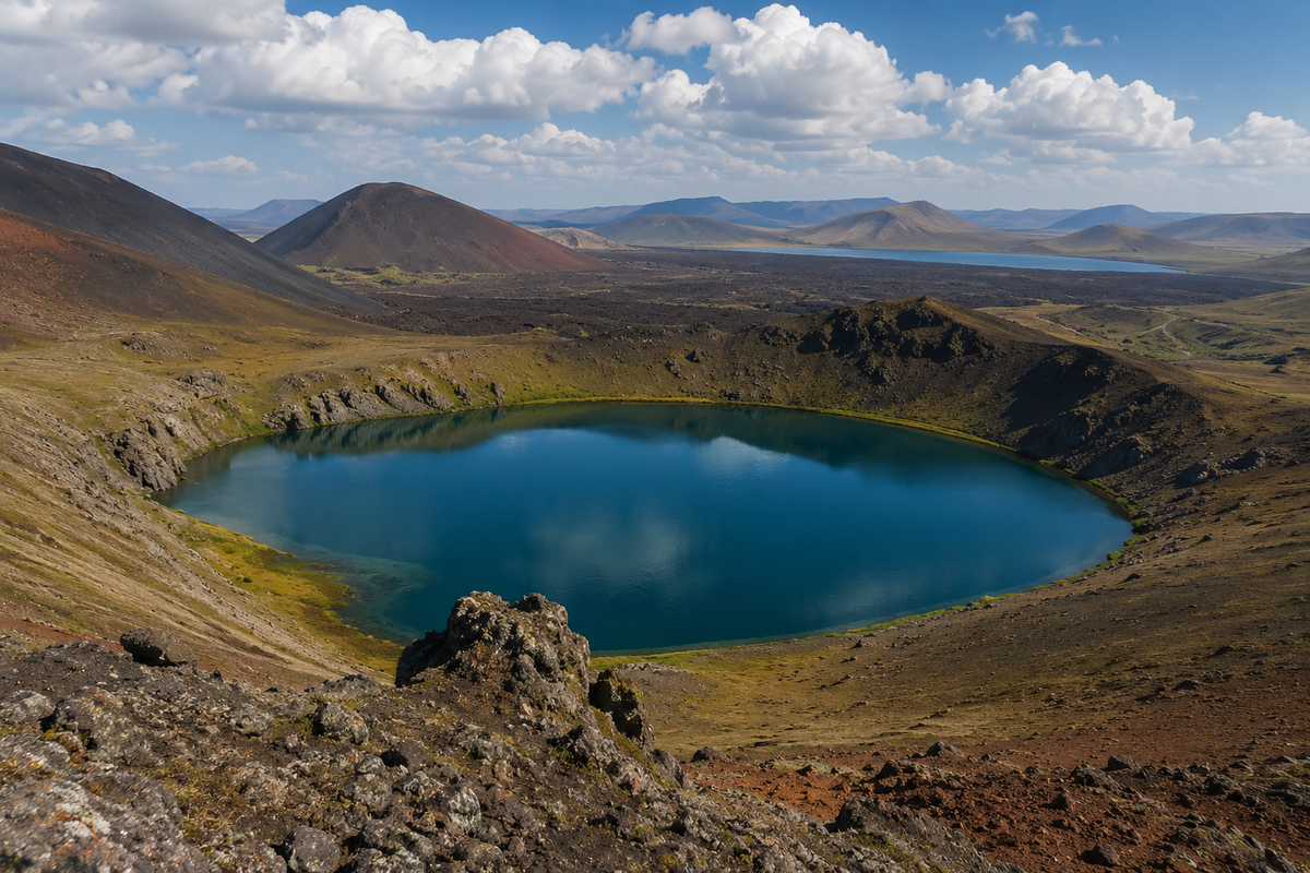
The plateau is built of lava, and almost every lake here owes its existence to volcanoes. Some basins formed through volcanic and tectonic processes, others when a lava flow dammed a valley and water pooled upstream. That's how Madatapa came about, for instance. We covered how the landscape took shape in our article on the volcanoes of Javakheti.
The geology has a direct consequence for travellers: most of the plateau's lakes are very shallow. Paravani, across its 37.5 km², is only 3.3 metres deep; Madatapa reaches 1.7 metres, Saghamo 2.3. There's one exception, Tabatskuri: its basin runs deeper than forty metres, and by volume of water it holds many times more than the far broader Paravani.
📊 Eight Lakes in Numbers
For Khanchali, Tsero and Kakhisi the exact figures either vary between open sources or aren't published at all, so I've left them without invented precision. Khanchali's water level also swings sharply by season and by year, so no single area figure exists for it.
💧 Each Lake in Turn
🦩 Birds and Protected Areas
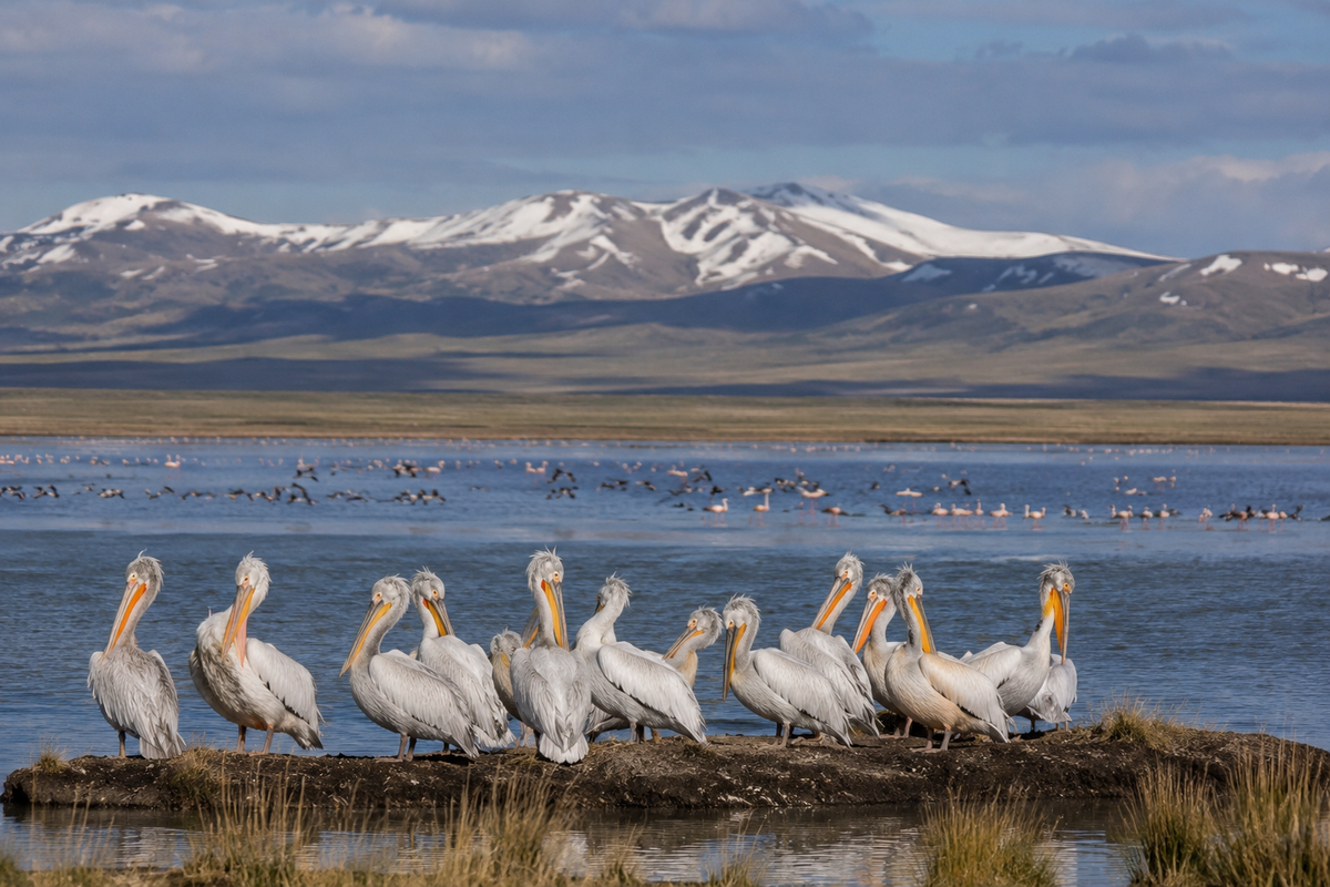
The main reason the Javakheti Plateau is known beyond Georgia is its birds. The plateau is a wetland, and shallow lakes with broad shallows make ideal nesting and stopover ground for migrating flocks. Rare species occur here, including Dalmatian pelicans, for whose sake artificial islets on Kartsakhi have been discussed.
Several sites are protected, grouped as the Javakheti Protected Areas. At their core is Javakheti National Park, covering around 16,614 hectares across the Akhalkalaki and Ninotsminda municipalities, plus managed reserves on individual lakes. More on their status in our article on the protected areas of Javakheti.
For birdwatching the best times are spring and early summer, during nesting, and autumn, during the migration. Binoculars matter more here than a camera with a short lens: the lakes are open and the birds keep their distance.
❄️ When to Come and What to Bear in Mind
🎒 What to Bear in Mind on the Plateau
The best window for an ordinary trip runs from late spring to early autumn. Winter here is beautiful but severe: the plateau is exposed, and blizzards and ice are routine.
🚗 Getting There and Planning a Route
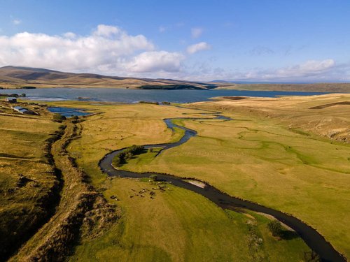
The backbone of any route is the Akhalkalaki to Ninotsminda road: it runs along Paravani, so you'll see the largest lake whichever way you go. Ninotsminda works as a base for the southern group (Khanchali, Madatapa, Saghamo), Akhalkalaki for the west and for the run out to Kartsakhi. Tabatskuri stands apart: it's in the north of the plateau, and people often approach it from Borjomi or Bakuriani.
From Tbilisi you drive via Tsalka or via Borjomi and Akhaltsikhe, a few hours either way. By public transport, take a marshrutka to Akhalkalaki or Ninotsminda; after that you'll need your own wheels or an arrangement with locals, since the distances between lakes are real and no bus links them.
🧭 Where to Stay and Eat
Ninotsminda and Akhalkalaki serve as bases. Below are the catalog sections for them and for the region.
Toured the Javakheti lakes? Leave a review on Madloba: tell us which ones you reached, in which season, what birds you saw and how the roads between them were. Your experience will help others plan the route.
Information is current as of July 2026. Water levels, road conditions and the rules for visiting border zones all change; check the current situation before you travel.
❓ Frequently Asked Questions
💬 On the Javakheti volcanic plateau in southern Georgia, in the Samtskhe-Javakheti region, mainly in the Ninotsminda and Akhalkalaki municipalities. Tabatskuri straddles the Borjomi and Akhalkalaki boundary.
💬 Paravani, at about 37.5 km² of surface, the largest lake in Georgia by area. By volume of water, though, it comes second to Tabatskuri, because Paravani is no more than 3.3 metres deep.
💬 Tabatskuri, down to 40.2 metres with an average of 15.5. It holds 221 million m³ of water, while the far broader Paravani holds only 91 million.
💬 The plateau is a significant wetland with rare species, Dalmatian pelicans among them. The best times to watch are spring and early summer during nesting, and the autumn migration.
💬 The main lakes fall within the Javakheti Protected Areas. At the core is Javakheti National Park, around 16,614 hectares, plus managed reserves on individual lakes.
💬 Late spring to early autumn. Javakheti is the coldest inhabited part of Georgia; in winter the lakes freeze for long stretches and the roads drift over.
💬 There's no beach holiday to be had. The water is cold, the shallow lakes are murky with stirred-up sediment, and there's essentially no infrastructure on the shores. People come for the landscape, the birds and the fishing.
💬 The spine is the Akhalkalaki to Ninotsminda road, which runs along Paravani. From Ninotsminda it's easy to reach Khanchali, Madatapa and Saghamo; from Akhalkalaki, Kartsakhi. Tabatskuri makes more sense combined with a trip to Borjomi or Bakuriani.
40 comments
Log in to leave a comment
It’s funny how you can read all the facts and figures, but they hardly do justice to standing there, feeling the chill of the water, listening to the wind rustle the grass. The birds, too - they always seem a bit more vibrant up there. I can’t help but think I need to escape the daily grind and soak it all in. This article, though, it’s got me daydreaming already. Just feels like I need to pack my bags and head there.
Очень радует, что в рейтинге на Madloba даны ещё и полезные советы от местных жителей о том, как спланировать визит, какие озёра лучше видеть в разное время года и где остановиться для комфортной экскурсии. Отзывы путешественников и ответы на частые вопросы в комментариях тоже помогают почувствовать атмосферу этих мест ещё до того, как ты туда попадёшь. 
Я уже всерьёз рассматриваю Джавахетские озера как обязательный пункт моего следующего путешествия по Грузии: представить только — сидеть на берегу прозрачной воды, слушая ветер и наблюдая перелётных птиц над горизонтом, особенно в сезон миграции! 🐦✨
А вы бы предпочли начать своё знакомство с Джавaхетскими озёрами с крупнейшего Паравани или с более уединённого и загадочного Табацкури? 😊