




🏔️ Askhi Plateau: The Karst Highland Where Herders Drive Cattle from Three Regions of Georgia
🏔️ Askhi Plateau at a Glance
Western Georgia's highest karst highland, reaching 2,519 metres, sitting between Tsageri and Martvili. No permanent settlements, just alpine meadows and summer grazing grounds.
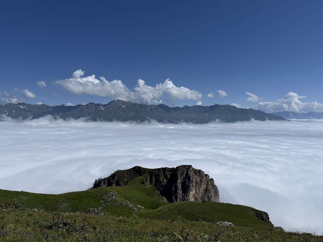
Askhi Plateau is the high point of western Georgia's karst landscape, a highland reaching up to 2,519 metres, wedged between the Tsageri and Martvili municipalities, meaning between Racha-Lechkhumi and Imereti. For the full listing with coordinates and photos, see the Askhi Plateau page.
Worth clearing up the spelling confusion right away: you'll come across "Askhi," "Ahi," and "Askkhi" online, all referring to the same place. The correct form, "Askhi," derives from the Georgian ასხი, and that's the version worth using consistently.
🐟 Shape and Terrain
The plateau is shaped like an elongated teardrop, or a fish: its western edge begins at the gorge of the Tekhuri River, while the eastern side drops away sharply toward the Kvereshule and Tskhenistskali rivers, with cliffs reaching up to 600 metres in places. This is a highland plateau shaped by tectonic processes, not just a flat field sitting in the mountains.
How the Plateau Is Structured
🌿 Meadows Without a Single Tree
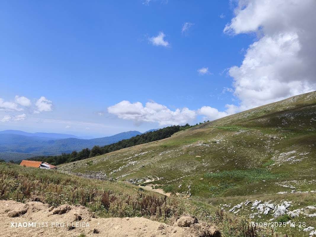
There are no permanent settlements on the plateau, and forest cover is essentially absent. Treeless highlands like this are typically called alpine meadows, shaped by elevation, exposure to wind, and a distinctive microclimate that holds year-round.
The place only comes alive in summer, when herds of cattle and horses arrive with their herders from three different regions of Georgia: residents of the villages of Zubi, Okureshi, and Kulbaki bring their livestock up for seasonal grazing, and during that window you'll find herders' camps scattered across what otherwise looks like an empty highland.
🕳️ What the Caves of Askhi Hide
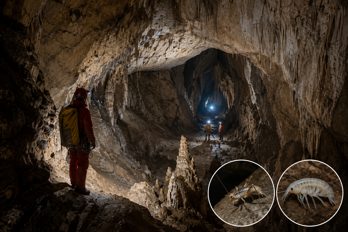
Askhi Plateau is also a major karst massif, meaning a whole system of caves hides beneath the surface, poorly studied even by the standards of modern speleology. Expeditions here still turn up new passages: speleologists have described a cave with morphology unusual for the plateau, a genuine vertical alpine cave with shafts and meanders, found during one of the more recent expeditions.
The caves of Askhi are home to some fairly rare creatures, including the cave cricket Dolichopoda euxina and underground amphipods of the genus Niphargus, species adapted to living exclusively in darkness and constant cool.
💧 Where the Famous Waterfalls Get Their Water
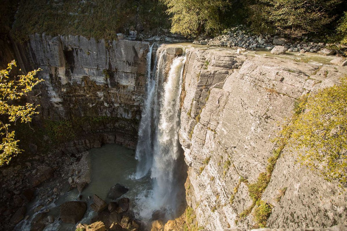
Here's a fact few people connect: the well-known Kinchkha Falls and Okatse Canyon, visited by thousands of tourists every year, are fed by karst water flowing from Askhi itself. The plateau functions as a natural water tower for half the region's famous sights, while remaining virtually unknown to mainstream tourism.
What to Bring
🚗 Getting Up to the Plateau
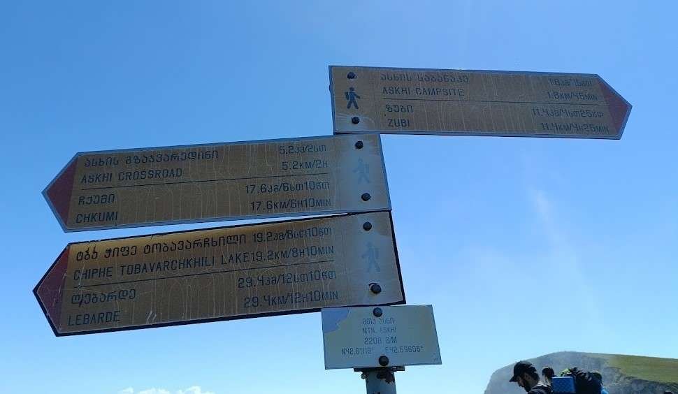
The plateau can be approached from several directions: from the south via the Khoni district, where the climb is manageable even by high-clearance off-road vehicle, from Lechkhumi through the villages of Isunderi and Kulbaki, or from Samegrelo via Balda and Salkhino. The northern side of the plateau is difficult to cross, due to its mountain ridges.
One of the better-documented routes starts from Kulbaki Green Lake: from the lake to the plateau is about 4.5 km with 1.2 km of elevation gain, roughly six hours of climbing on foot or horseback. For a detailed breakdown of this route, see the article on the village of Zubi and the Askhi massif.
Have you been to Askhi Plateau? Leave a review on Madloba: tell us which route you climbed, whether you caught the herders and their livestock, and what first-timers planning this trek should know.
Information is current as of July 2026. Trail conditions, weather, and road access vary by season, check the current situation with local guides before you go.
❓ Frequently Asked Questions
💬 Between the Tsageri and Martvili municipalities, on the border of Racha-Lechkhumi and Imereti, at elevations up to 2,519 metres.
💬 They all refer to the same place. The correct spelling, "Askhi," comes from the Georgian ასხი, the other variants are transliteration errors.
💬 An elongated shape resembling a teardrop or a fish. The western side begins at the Tekhuri river gorge, while the eastern side drops sharply toward the Kvereshule and Tskhenistskali rivers.
💬 There are no permanent settlements, but herders from the villages of Zubi, Okureshi, and Kulbaki, representing three different regions of Georgia, bring livestock up for summer grazing.
💬 A poorly studied karst system home to rare species, including the cave cricket Dolichopoda euxina and underground amphipods of the genus Niphargus.
💬 Those well-known waterfalls and the canyon are fed by karst water from Askhi Plateau itself, even though the plateau remains largely unknown to tourists.
💬 From several directions: from the south through the Khoni district by off-road vehicle, from Lechkhumi via Kulbaki, or from Samegrelo via Balda and Salkhino. A popular route starts from Kulbaki Green Lake, about 4.5 km and six hours of climbing.

3 comments
Log in to leave a comment
但是,我还是对这种生活方式充满疑问:在这样波澜壮阔的自然环境中,牧民们如何应对突如其来的气候变化呢?感谢你分享了这样一段美好的故事,真希望能亲身体验那里的风土人情。