




🏔️ The Obsidian of Chikiani: How Volcanic Glass Named a Mountain and Made It a Stone Age Workshop
🏔️ Mount Chikiani: The Essentials
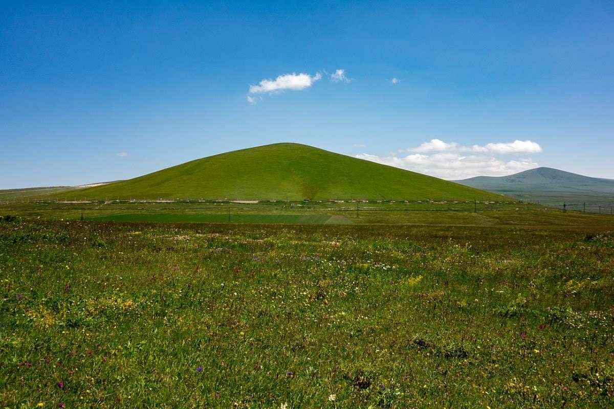
A peak of 2,415 metres in Ninotsminda Municipality, on the watershed between the Paravani and Tsalka basins. It is composed almost entirely of obsidian and glitters in clear weather. Hence the name: chika in Old Georgian meant glass.
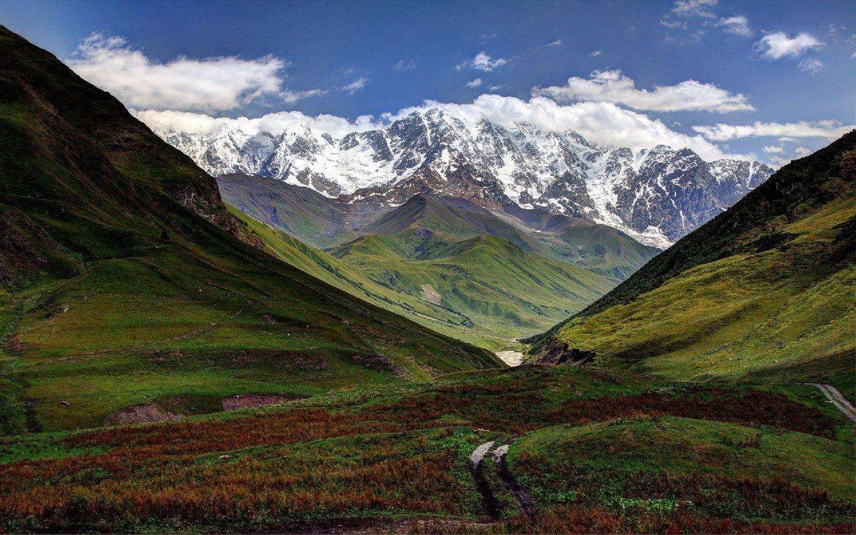
Mount Chikiani rises in the northern part of the Javakheti range, on the watershed between the Paravani and Tsalka basins, in Ninotsminda Municipality, Samtskhe-Javakheti. Its elevation is 2,415 metres.
It is an unusual mountain in composition: almost the whole of it is obsidian. In clear weather the summit catches the sun and visibly glitters, which is not a figure of speech but a property of the rock.
📜 Two names and what each one means
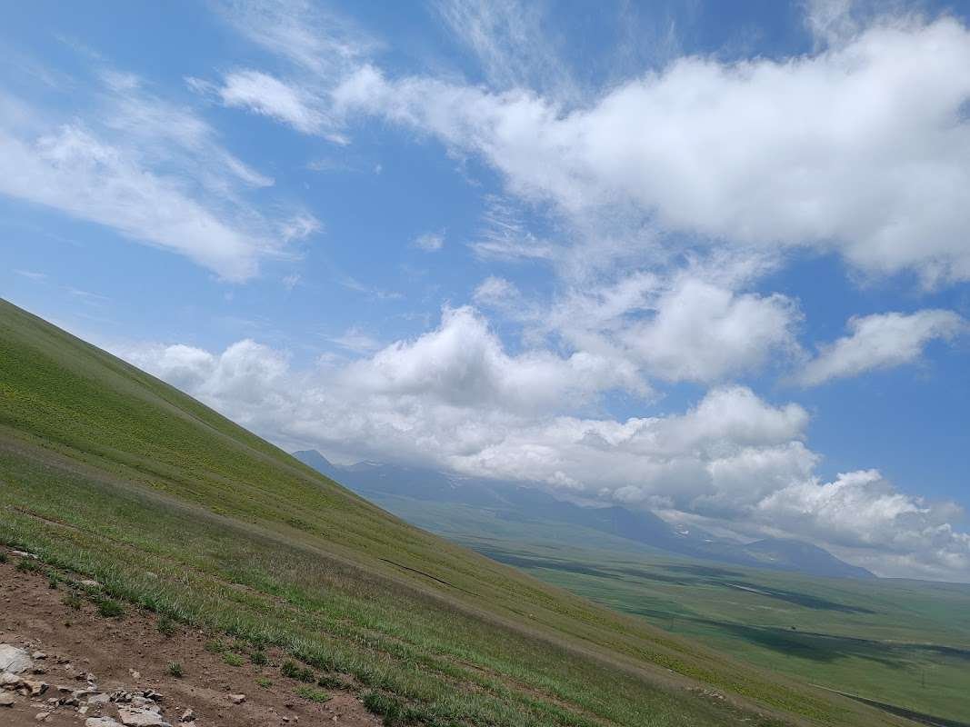
The mountain carries two names, and each explains something different.
Koyundaghi. For centuries this is how books and maps recorded it. The word is Turkish and means 'sheep mountain'.
Chikiani. In Old Georgian sources, including the works of the geographer Vakhushti Bagrationi, the mountain has its Georgian name. And here the etymology is more precise than any description: chika in Old Georgian meant glass, both manufactured and natural.
The Georgian name, in other words, describes exactly what the mountain is made of. The people who named it saw a glittering summit and called it the glass mountain, long before any geology.
⛰️ What obsidian is and why it is here
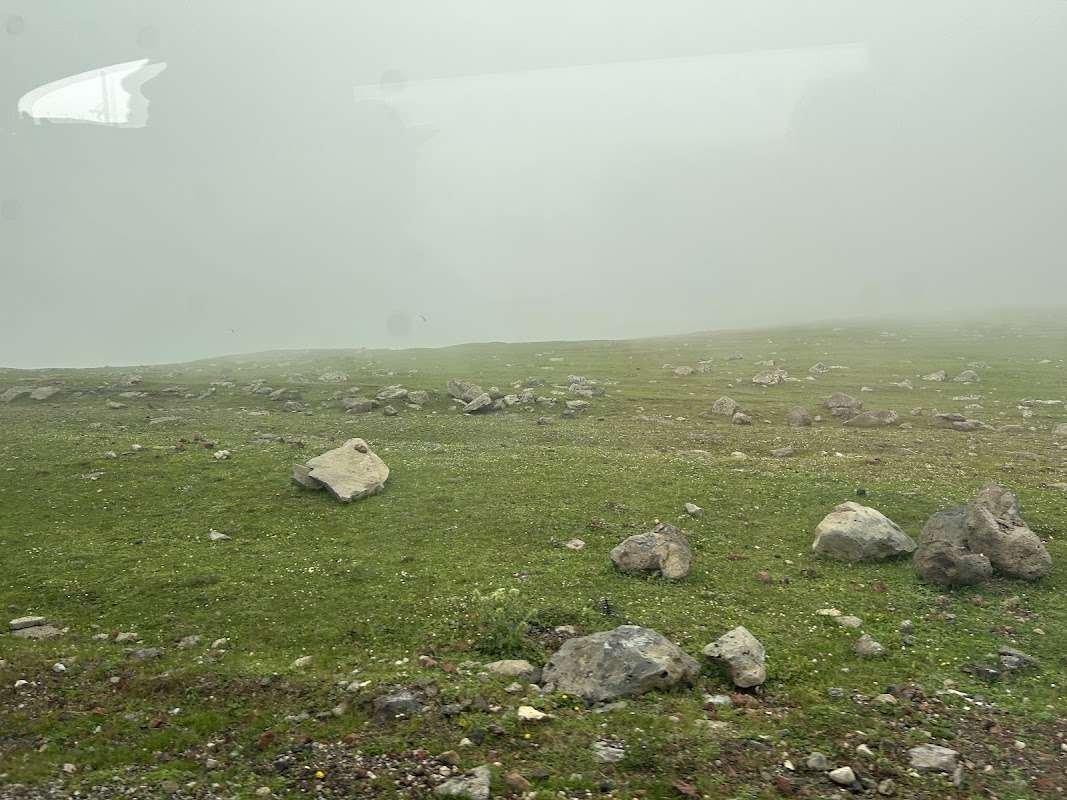
Obsidian is volcanic glass: molten rock that cooled so fast that crystals never had time to form.
Geologically the mountain is built of Neogene liparite-dacites, with obsidian running through them in veins. That produces the characteristic sight here: black glossy stones scattered across the field, visible underfoot.
Georgian has its own names for obsidian, and they are good ones: 'camel's eye' and 'a shard of sky'.
The slopes are covered with subalpine meadow grass, so in summer the black glass lies in the grass, and it is that contrast people remember from descriptions of the mountain.
🪓 A Stone Age workshop
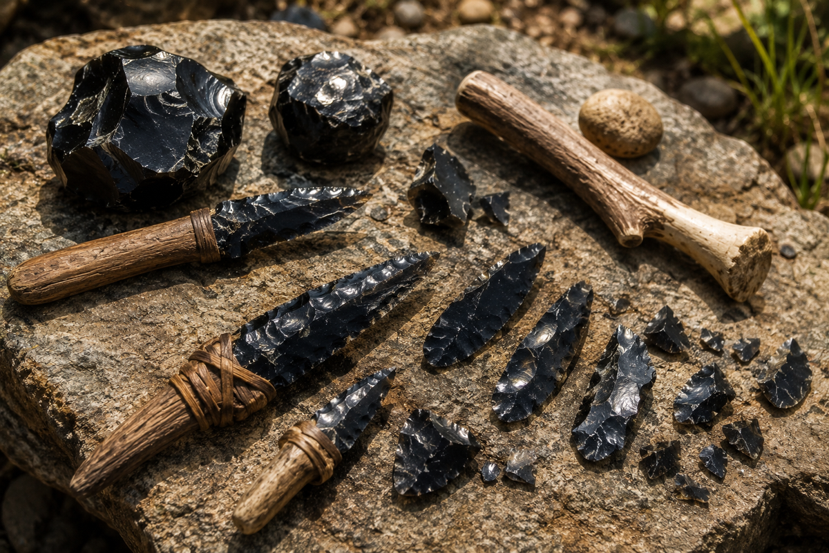
Here the interest shifts from geology to archaeology.
Obsidian played a part in human history that is hard to overstate: tools and weapons were being made from it as early as the Stone Age. An obsidian fracture gives an edge finer than steel, and until metals appeared it was the best material available.
On the slopes of Chikiani and on neighbouring Mount Sadzrokhe to the south, a workshop survives where obsidian was quarried and worked. It is not a cave or a structure but an open-air site where stone was knapped for thousands of years.
How many thousands is suggested by one find. A hand axe from Chikiani is dated to somewhere between 1.5 million and 100,000 years ago. It is held in the Batumi Archaeological Museum.
Such a wide range is normal for the Lower Palaeolithic, but the upper bound speaks for itself: people were coming here for stone before our own species existed.
🗿 The menhir at the foot
Near the mountain stands a massive stone pillar three and a half metres high, dated to the second millennium BC. It probably had a cult function.
This is a megalith of national significance, among the most notable in Georgia. It stands at 2,168 metres, south of the road from Nardevani to Paravani and of the Marabda to Akhalkalaki railway.
The combination is a rare one: an obsidian deposit, a Palaeolithic workshop and a Bronze Age megalith on the same patch of ground. People came here for stone across tens of thousands of years, and then set up a pillar.
💧 Lake Paravani next door
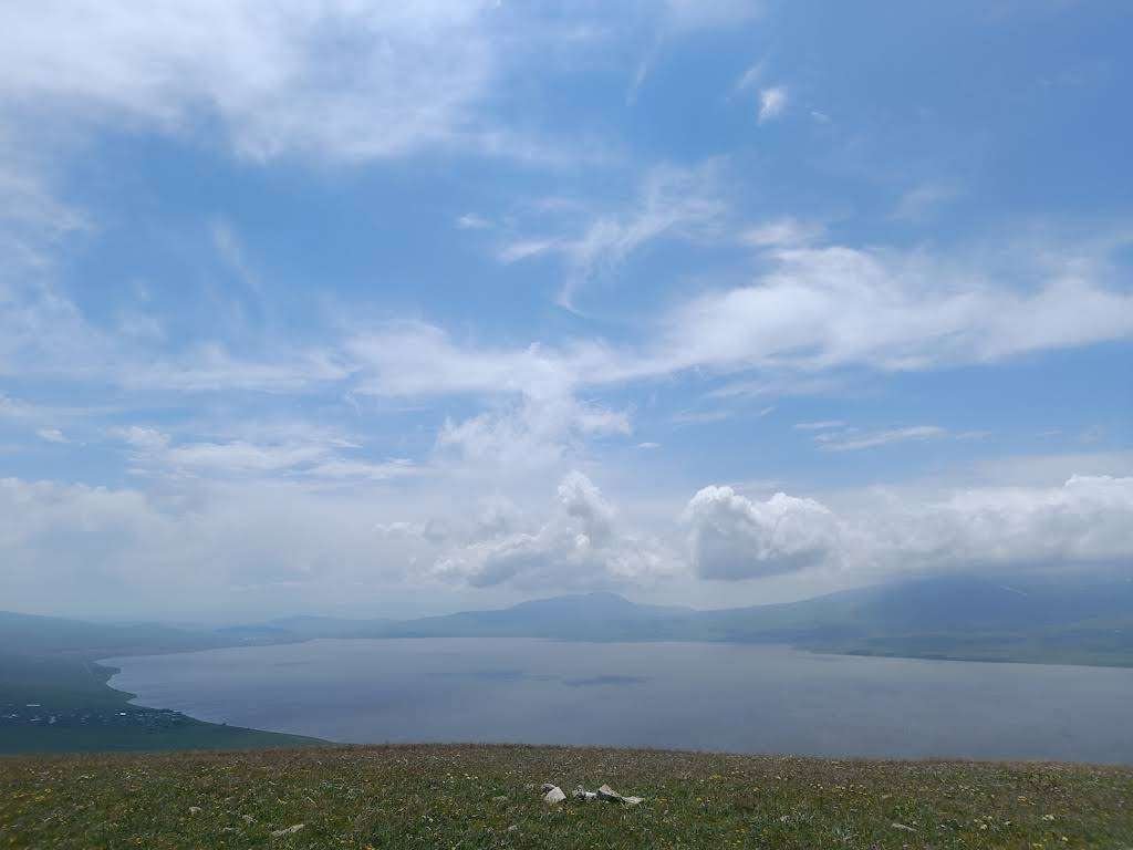
South-east of the mountain, in the basin between the Abul-Samsari and Javakheti ranges, lies Paravani, the largest lake in Georgia.
Its surface covers 37.5 square kilometres and its catchment 234. The lake is volcanic-tectonic and sits at 2,073 metres.
For a route this is convenient: Chikiani is looked at on the way to Paravani or back, with no detour required.
🚗 Getting there and what to expect
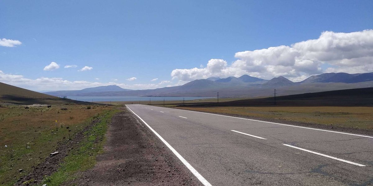
To be straight about it: this is not a tourist site in the ordinary sense.
There are no marked routes. No trails, no signs, no facilities. The mountain stands off the road, and reaching the summit means walking up an open slope.
Your reference points are Ninotsminda and Akhalkalaki. Tbilisi to Akhalkalaki takes about four hours, then east towards Paravani.
The landmark is the Paravani road. The mountain is visible from it; the rest is on foot across subalpine meadow.
The altitude sets the weather. At 2,400 metres in Javakheti it is cold even in summer, and in winter the plateau is under snow. June to September is the window.
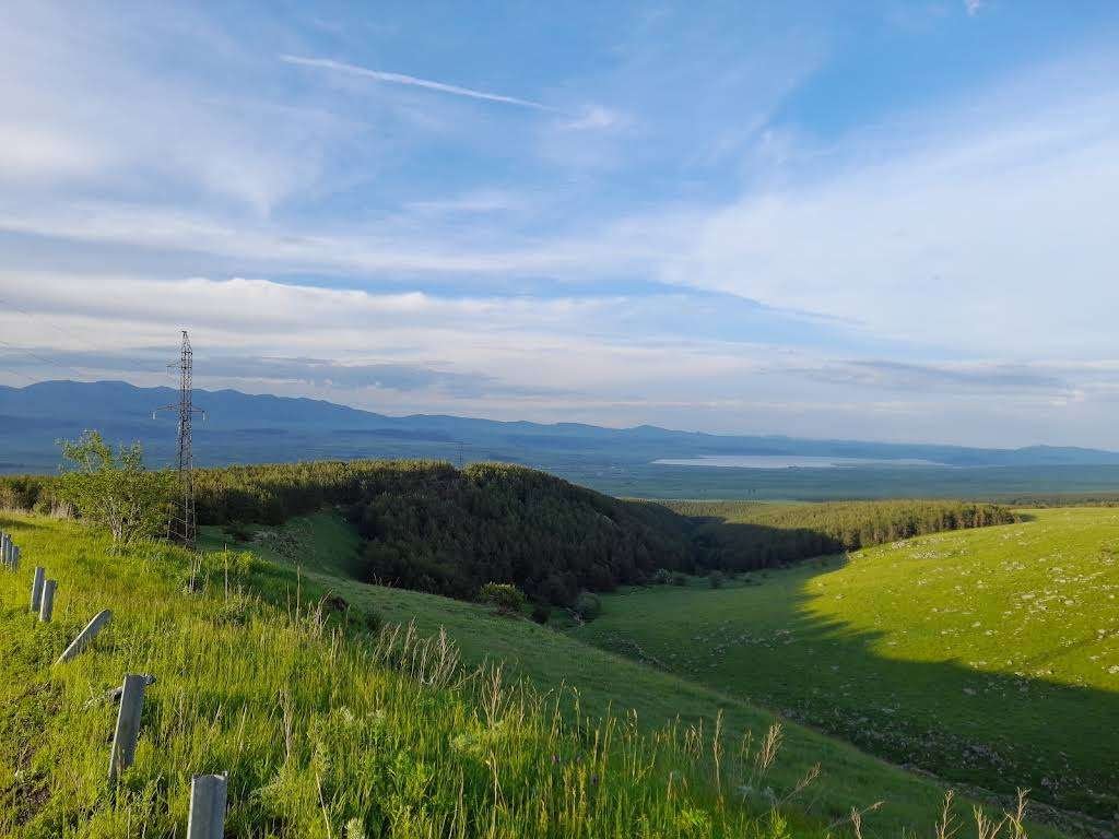
Obsidian underfoot can be found without climbing at all: black glossy stones lie scattered across the surrounding ground. Bear in mind, though, that this is archaeologically significant terrain, and finds are best left where they are.
🧭 What is nearby
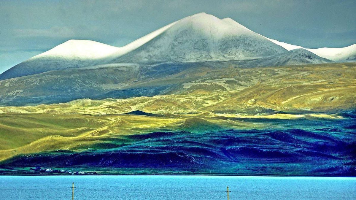
The Javakheti plateau is a world of its own, volcanoes and lakes, and Chikiani is part of it.
Lake Paravani, the largest in the country, to the south-east.
Abuli Fortress on the slope of the Abuli range, Bronze Age cyclopean masonry. A natural pairing with the menhir: the same period, the same plateau.
Mount Tavkvetili, a stratovolcano of 2,583 metres in the northern part of the Abul-Samsari range. Its last eruption is dated to between eighteen and eight thousand years ago.
Akhalkalaki, the nearest town with accommodation and transport.
Been to Chikiani? Leave a review on Madloba: tell us which side you approached from, whether you found obsidian underfoot, and whether you saw the menhir.
Information is current as of August 2026. The mountain has no marked routes or facilities, so plan the climb with the weather and the altitude in mind.
❓ Frequently asked questions
💬 In Georgia, Samtskhe-Javakheti region, Ninotsminda Municipality. In the northern part of the Javakheti range, on the watershed between the Paravani and Tsalka basins. Elevation 2,415 metres.
💬 Koyundaghi, the Turkish name, means 'sheep mountain', and for centuries it was the form used in books and on maps. Chikiani is the Georgian name from older sources, including the works of Vakhushti Bagrationi. Chika in Old Georgian meant glass, so the name describes the mountain's composition literally.
💬 Volcanic glass: molten rock that cooled so fast that crystals never formed. At Chikiani it runs in veins through Neogene liparite-dacites. Georgians call it 'camel's eye' and 'a shard of sky'.
💬 Yes. In clear weather the summit catches the sun and visibly shines. It is a property of the rock itself, and it is what gave the mountain its Georgian name.
💬 An open-air site where obsidian was quarried in the Stone Age and worked into tools and weapons. Traces survive on the slopes of Chikiani and on Mount Sadzrokhe to the south. A hand axe from here is dated to between 1.5 million and 100,000 years ago and is held in the Batumi Archaeological Museum.
💬 A menhir three and a half metres high, dated to the second millennium BC. It probably had a cult function. It is a megalith of national significance, among the most notable in Georgia, standing at 2,168 metres.
💬 Paravani, the largest lake in Georgia, south-east of the mountain in the basin between the Abul-Samsari and Javakheti ranges. Its surface covers 37.5 square kilometres and it sits at 2,073 metres.
💬 There are no marked trails, signs or facilities. The climb goes up an open subalpine slope. June to September is the window: at 2,400 metres it is cold even in summer, and the plateau is under snow in winter.
💬 Your reference points are Ninotsminda and Akhalkalaki. Tbilisi to Akhalkalaki takes about four hours, then east towards Paravani. The mountain is visible from the road, and the last stretch is on foot.

33 comments
Log in to leave a comment
Особенно вдохновляют советы от местных 👣💬 — они подсказывают, где лучше начинать маршрут, какие повороты тропы ведут к самым красивым видам и где сделать эффектные фото 📸✨ Такие лайфхаки делают подготовку к поездке намного интереснее и помогают почувствовать атмосферу места ещё до визита! 💛
После насыщенного подъёма и прогулки на высоте так приятно представить, как ты зайдёшь в уютное кафе ☕🍰, обсудишь впечатления с друзьями за чашечкой ароматного кофе и бокалом грузинского вина 🍷 — идеальный способ завершить день в горах 🌞🌿
Мне очень нравится, как этот рейтинг помогает прочувствовать дух Чикани: живые описания, реальные отзывы и полезные подсказки делают путешествие настоящим приключением 🌍✨
А вы уже были на гору Чикани? Какие виды или моменты там впечатлили вас больше всего, и в какое время года, по вашему мнению, сюда лучше всего отправляться, чтобы поймать самые живописные виды? 🏞️💫
Я нашла для себя много интересного в этой статье. Например, я узнала, что слово «чика» на древнегрузинском означало стекло (как искусственное, так и натуральное), и что гора Чикиани очень блестит на солнце из-за того, что почти целиком состоит из обсидиана. Кроме того, мне показалось интересным, что на склонах горы сохранилась мастерская, где добывали обсидиан и изготавливали из него орудия.
Мне кажется, что путешественники, которые посетят гору Чикиани, обязательно найдут что-то, что им очень понравится. Эта гора настоящий находка для любителей исследовать природу и историю. Мне хотелось бы побывать здесь лично и осмотреть все самостоятельно. Спасибо авторам статьи за интересную информацию о таком необычном месте!
ёт блеск и свечение.Наверное кто видит это восхищается необыкновенной красотой.Какими чудесными пейзажами одарила природа Грузию.
Хочется увидеть это чудо-природы,гору Чикиани.