




⛰️ Mamison Pass: A Closed Road Across the Main Caucasus Ridge
Mamison Pass at a Glance
A pass at roughly 2,900 metres across the Main Caucasus Ridge, once carrying the road from Kutaisi to Vladikavkaz. Today it's a closed border area, not a tourist route.
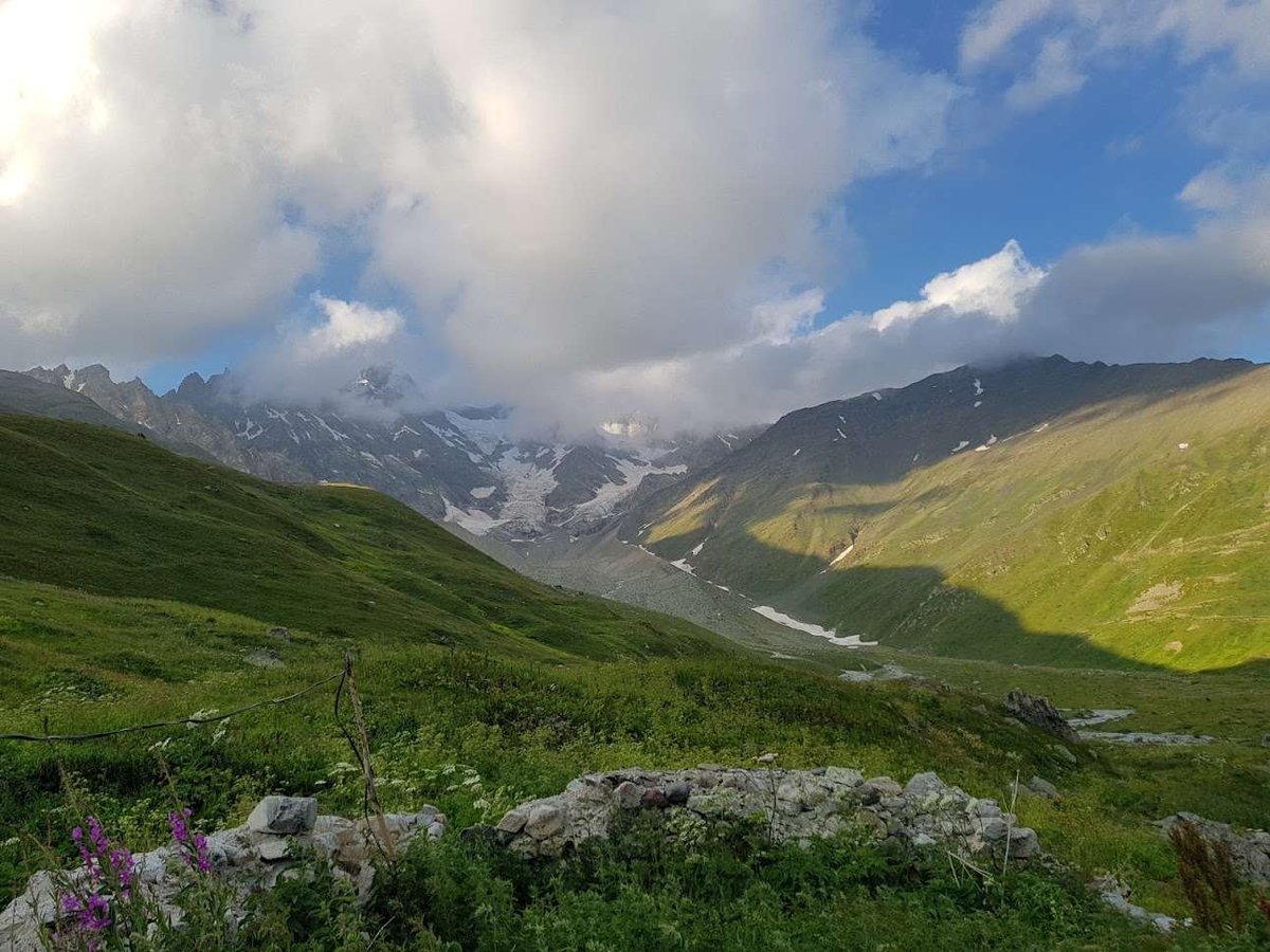
Mamison Pass sits at roughly 2,900 metres, at the point where the Main Caucasus Ridge divides the Rioni and Ardon river basins. For centuries it served as one of the few passages through the mountains, connecting western Georgia with the North Caucasus. Today it's no longer an active road but a closed border area at the junction of Georgia, Russia and South Ossetia.
What makes the pass interesting is exactly this combination: a deep history as a transport artery, and its current status as a place the road no longer reaches.
🛤️ The History of the Road Across the Pass
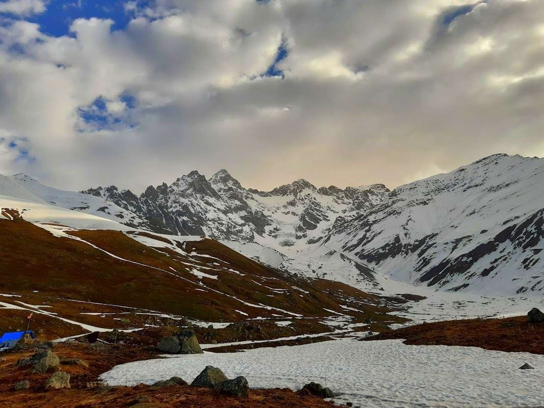
The path over Mamison Pass was used long before any regular road existed. According to some sources, customs posts controlling the crossing already stood here during the Alan period. A proper wheeled route was first surveyed on the orders of General Yermolov in 1823, but the early expeditions ran into resistance from local highlanders in the Mamison gorge and couldn't complete the route.
The Ossetian Military Road itself was built in 1897, connecting Kutaisi in Georgia to Vladikavkaz via Alagir in Russia, with a total length of about 275 km. The road saw heavy use in the first half of the 20th century: in the winter of 1921, Red Army units passed through it, and in 1942, during the Great Patriotic War, the pass was defended by units of the 46th Army as one of the crossings over the Main Caucasus Ridge.
After the Trans-Caucasian Highway was built in 1984, the old pass road became unnecessary, traffic on it stopped, and most of the population left the gorge.
Interesting Fact
The pass and the gorge take their name from the Mamisondon River, whose source lies right at the foot of the pass.
In the late 19th century, geographer and botanist Andrei Krasnov travelled the road and called the journey one of the most striking routes across the entire Caucasus. Shortly before the Great Patriotic War, the poet Olga Berggolts, who would later become the voice of besieged Leningrad, also visited and dedicated a few lines of verse to the pass.
🗺️ The Status of the Border Today
Both positions deserve a neutral account here, without favouring either side, since the status of this territory remains disputed.
Until 2009, the South Ossetian side of the pass was controlled by Georgian border guards. After a bridge that had been blown up in June 2009 was rebuilt, control passed to Russian and South Ossetian border forces, and it has remained under their de facto control since.
Georgia's position holds that the territory of Mamison Pass falls within the country's internationally recognised borders, and that the current control over it results from the occupation of territory formerly belonging to the South Ossetian Autonomous Region.
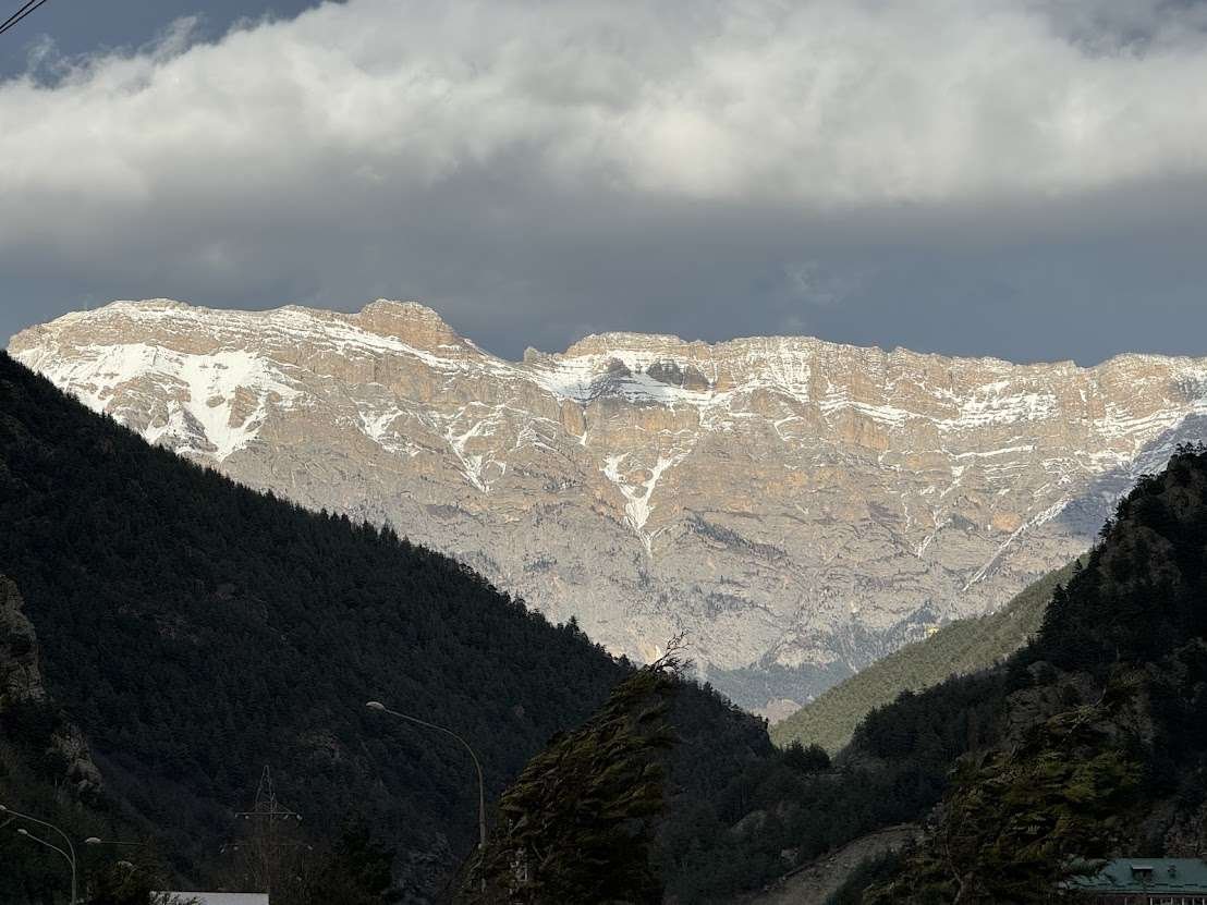
The situation on the ground today is that the border crossing is officially closed, no people or vehicles pass through it, and the area falls under the responsibility of Russian and South Ossetian border structures.
Several times in recent years, Georgian politicians have raised the idea of reopening a road through Mamison for trade with Russia: in 2016, then Prime Minister Giorgi Kvirikashvili touched on the subject, and in 2020, a representative of the ruling party floated a similar proposal. Each time, this triggered a sharp political reaction, and no concrete infrastructure projects followed on the Georgian side.
🏰 Famous Towers, But Not in Georgia
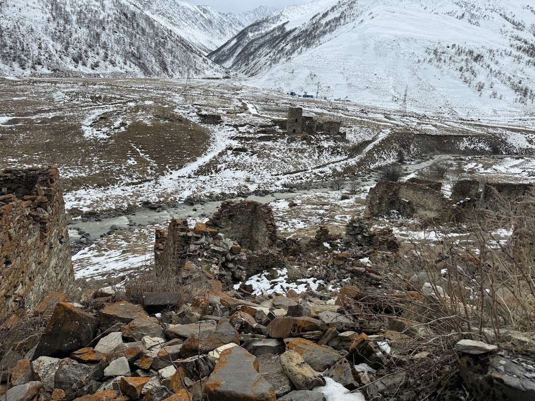
The Mamison gorge is genuinely known for dozens of surviving defensive and clan towers, old villages and medieval structures, which is why it's sometimes called a "reserve of towers." It's worth being clear about one thing: these villages, Lisri, Tli, Tib, Zgil, and all the towers associated with them, stand on the other side of the pass, in North Ossetia, that is, in Russia, not on the Georgian, Racha side.
There's no comparable concentration of historical architecture on the Georgian side, very little infrastructure survives, and the pass itself along with the surrounding area remains largely undeveloped. If you come across colourful descriptions of Mamison's clan towers in travel guides, know that they refer to views and routes accessible from the Russian side, not to anything visible from within Georgia.
On the Russian side of the gorge, a large ski resort called "Mamison" also had a technical opening in 2025, but that's a separate project unrelated to Georgian tourism or the Georgian side of the pass.
📌 What You Can See From the Georgian Side Today
To be direct about it: there's no organised tourist route to the pass itself, let alone across it, at present. The area is a closed border zone, and attempting to approach the border on your own could be not just pointless but legally risky.
Worth Knowing
Don't confuse Mamison Pass with the nearby Kudar Pass, which is higher, at around 3,148 metres, and lies a little further along the same historic road, past the village of Zgil. Both names appear in old descriptions of the Ossetian Military Road, but they're two separate crossings over the ridge.
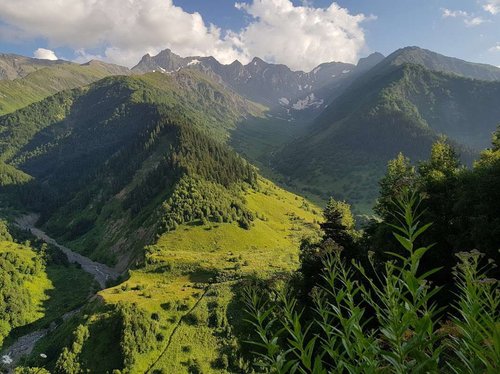
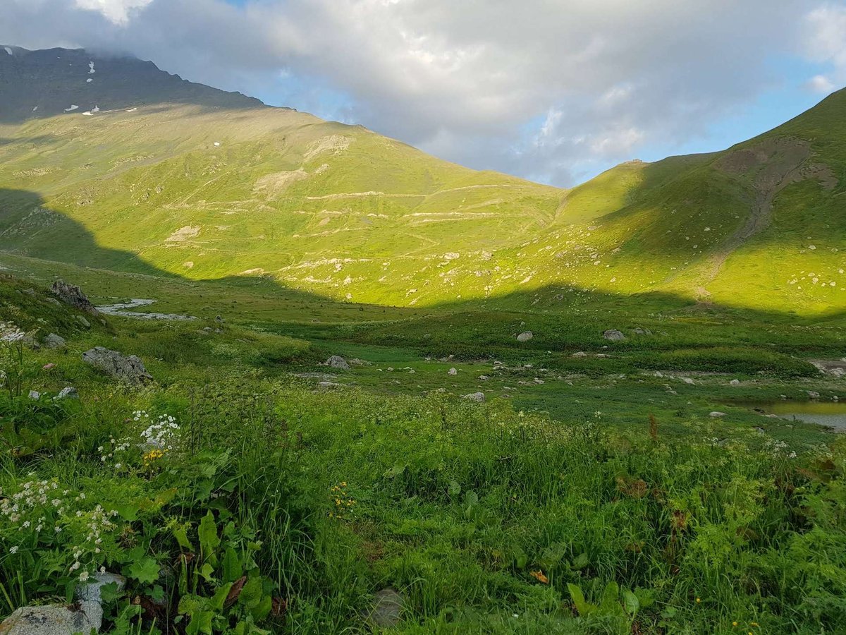
From the Racha-Lechkhumi side, you can see the remains of the old road and the general mountain landscape of the Main Caucasus Ridge, but there's no verified, detailed route with coordinates for this article, and it's deliberately left out so as not to encourage anyone to approach the border. If you need current information on the territory's status, it makes more sense to check official sources, Georgia's border service, or the local administration of the Racha-Lechkhumi region.
If you have documented history of the road, family memories of life in this area, or verified information about its current status, share it with Madloba. Material like that helps us write more accurately about places with no free access.
Information is current as of July 2026. The border's status and access conditions may change, check official Georgian sources before drawing conclusions about the present situation.
📚 Read Next Racha-Lechkhumi in more detail
❓ Questions and answers
💬 On the Main Caucasus Ridge, on the border between the Racha-Lechkhumi and Kvemo Svaneti region of Georgia and North Ossetia in Russia, at roughly 2,900 metres above sea level.
💬 The regular Ossetian Military Road was built in 1897, though the path was used well before that, as far back as the Alan period. The road connected Kutaisi to Vladikavkaz.
💬 No, the border crossing is closed, and no people or vehicles have passed through it since the Soviet era, while the road itself has been unused since 1984.
💬 Its status is disputed. Georgia considers the territory part of its internationally recognised borders, while Russian and South Ossetian border forces have exercised de facto control since 2009.
💬 Yes, but they're not in Georgia, they stand on the other side of the pass, in the Mamison gorge in North Ossetia, Russia. There's no comparable architecture on the Georgian side.
💬 Sources vary, from 2,819 to 2,911 metres depending on the publication. More recent figures usually put it at around 2,900 metres.
💬 A resort called "Mamison" is under construction and had a technical opening in 2025, but it's on the Russian side of the gorge and has nothing to do with Georgian territory or Georgian tourism.
💬 Yes, during the Great Patriotic War, in the summer of 1942, the pass was defended by units of the 46th Army as one of the crossings over the Main Caucasus Ridge.

1 comment
Log in to leave a comment