




💧 Truso Gorge: A Valley of Mineral Springs on a Restless Border
🗺️ Truso Gorge at a Glance
A gorge on the northern slope of the Caucasus with more than 60 mineral springs, earning it the nickname "Valley of Narzans." The source of the Terek, travertine formations, and nearly abandoned villages.
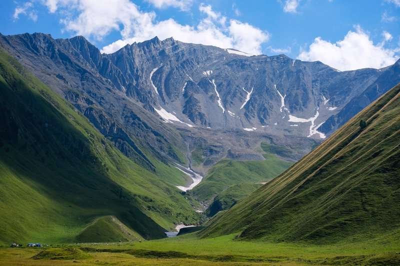
Truso Gorge, თრუსოს ხეობა in Georgian, Tyrsygom in Ossetian, sits on the northern slope of the Caucasus, mostly within the Kazbegi Municipality of Mtskheta-Mtianeti. Most of the gorge falls administratively under Georgia, while a small rocky section near the Savitisi Glacier belongs to North Ossetia, part of the Russian Federation. For the full listing with coordinates and photos, see the Truso Gorge page.
💧 The Valley of Narzans: Why There Are More Than 60 Springs
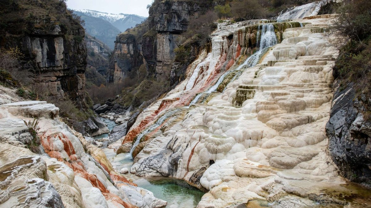
The gorge is packed with mineral springs, more than sixty of them, which is why locals often call the area the "Valley of Narzans." The springs vary in composition: ferruginous, sulfur, carbonated, and the water from them stains the surrounding slopes red, green, and grey. That same water forms travertine on the surface, oddly shaped limestone deposits resembling marble, which is part of why the gorge's landscapes are sometimes described as Mars-like.
One notable concentration of travertine sits on the right bank of the Terek, in the narrow upper section of the Kasriskhevi gorge, roughly 10 km from the village.
💧 What's Hidden in the Springs
🏚️ Villages That Barely Remain
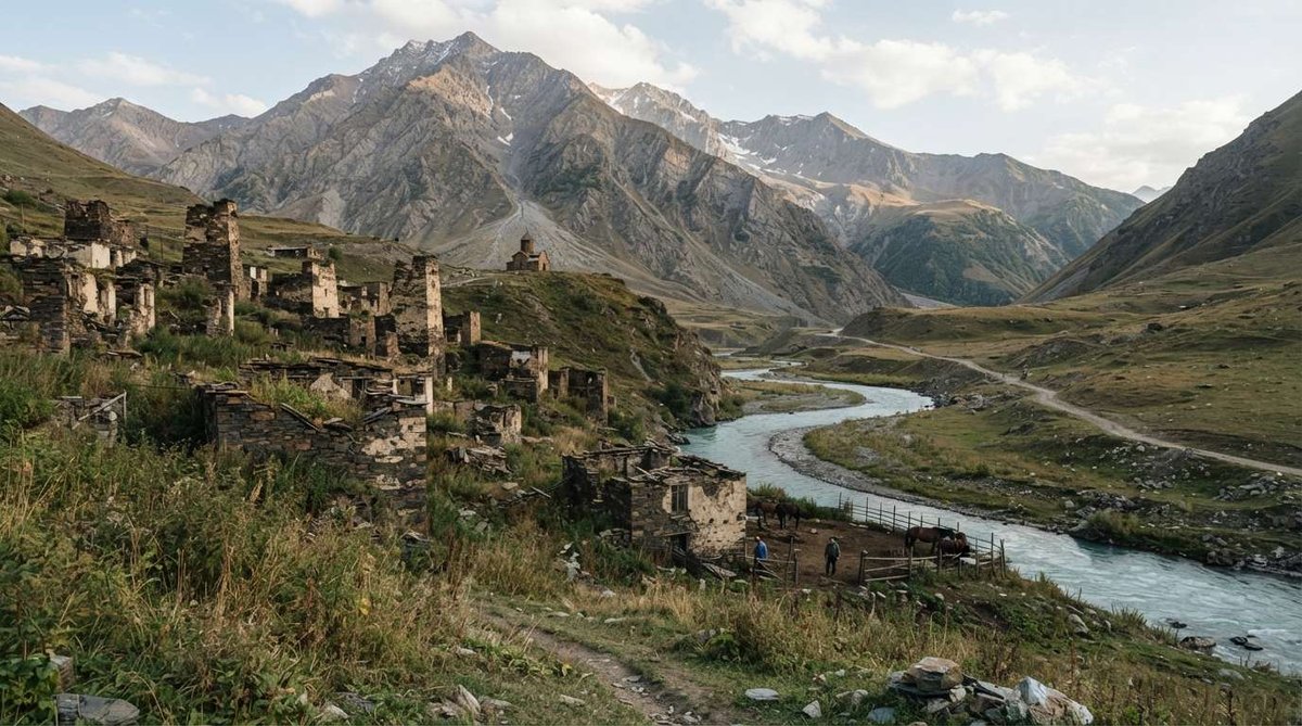
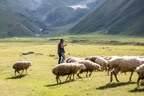
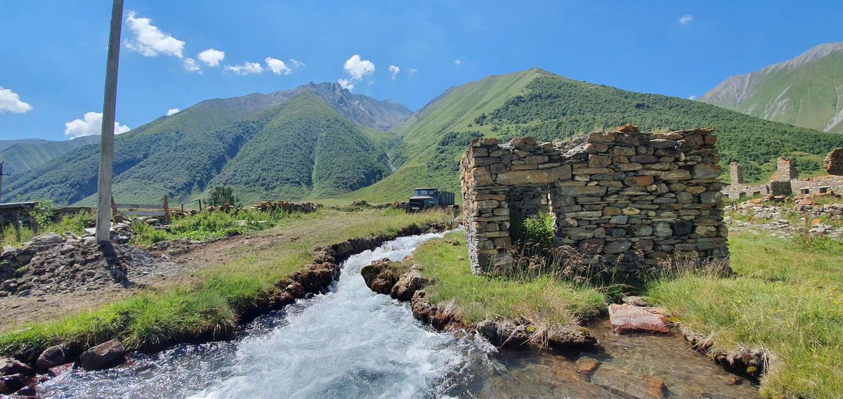
The gorge's villages sit mostly on the left side of the valley: Nogkau, Okrokana, Zakatgori, Desi, and others. Sadly, many of them are completely deserted today. The reason lies in history: the border stayed closed until 2012, and by the time it reopened, the villages had become uninhabitable. Almost no one lives in the gorge now, aside from a few residents of Ketrisi village, herders, dairy workers, nuns from a women's monastery, and border guards.
The gorge also touches on a broader, sensitive historical question: the Ossetian side has repeatedly described Truso Gorge as part of its historic homeland, and the question of including the area within South Ossetia has been raised at times. This is a contested topic with differing positions on each side, and we won't attempt to resolve it in a travel piece, we simply note that it exists.
💧 Lake Abano and the Ketriso Spring
Near the village of Ketrisi is a mineral lake with natural gas seeping through it, which locals consider bottomless, that's more folk belief than a measured fact, but it's part of the local colour. Alongside the travertine, the gorge's key natural sights include the mineral lake Abano and the Ketriso spring.
🥾 Planning the Route
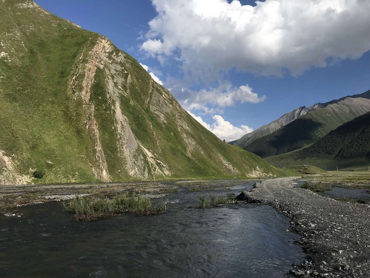
The hiking route is usually best started from the settlement of Kvemo Okrokana, about 4 km into the gorge from the turnoff on the Georgian Military Highway. From there, the road runs along a narrow gorge beside the Terek. One option is a circular route: out along the left bank past an abandoned village to a fortress, back via Lake Abano.
Stepantsminda makes the most convenient base for exploring the gorge, a full walk through it can take an entire day. At the old bridge over the Terek, travellers usually leave their car and continue on foot into the valley.
🎒 What to Bring
📌 What to Know Before You Go
Check the current border situation before travelling, conditions in this border area can change. The road to the bridge is unpaved and can get rough in wet weather, some travellers report being unable to reach the bridge by regular car during the shoulder season.
Have you been to Truso Gorge? Leave a review on Madloba: tell us which route you took, what condition the road was in, and what first-timers should know.
Information is current as of July 2026. Border conditions and road access can change, check the current situation locally before you go.
❓ Frequently asked questions
💬 On the northern slope of the Caucasus, mostly within the Kazbegi Municipality of Mtskheta-Mtianeti, with a small section belonging to North Ossetia, Russia.
💬 Because of more than sixty mineral springs, ferruginous, sulfur, and carbonated, found throughout the valley.
💬 Almost no one. Most villages emptied out after the border stayed closed until 2012. Today there are a few residents of Ketrisi village, herders, and border guards.
💬 The Terek, which rises from the glaciers of Mount Mkinvartsveri (Kazbek) and flows through the entire gorge.
💬 Usually from the settlement of Kvemo Okrokana, about 4 km from the turnoff on the Georgian Military Highway, or from the old bridge over the Terek, where travellers leave their cars.
💬 The road to the bridge is unpaved and can get rough in wet weather. It's best to plan for an off-road vehicle or be ready to walk the final stretch.

44 comments
Log in to leave a comment
Особенно вдохновляют советы от местных 👣💬 — они подсказывают, какие участки ущелья самые живописные, где проложены лучшие тропы, и какие точки идеально подходят для фото 📸✨ Такие подсказки помогают почувствовать место ещё до визита и делают планирование похода куда интереснее! 💛
После насыщенной прогулки по ущелью так приятно представить, как ты зайдёшь в уютное кафе ☕🍰, обсудишь впечатления с друзьями за чашкой ароматного кофе и бокалом грузинского вина 🍷 — отличный способ завершить активный день на свежем воздухе 🌞🌿
Мне очень нравится, как этот рейтинг помогает прочувствовать дух Трусовского ущелья: живые описания, реальные отзывы путешественников и полезные подсказки делают путешествие настоящим приключением 🌍✨
А вы уже были в Трусовском ущелье? Какие виды или уголки там впечатлили вас больше всего, и когда, по вашему мнению, лучше всего отправляться туда, чтобы увидеть всё в самой красивой атмосфере? 🏞️💚
И, конечно, интересно узнать, что в ущелье Трусовского ущелья есть разные источники минеральных вод. Воклюз Кетериси, вытекающий из-под валунов, встречается в одноименном селе и даёт в сутки 25-30 млн литров гидрокарбонатно-кальциевой воды. Трусовские травертины находятся на высоте 2100-2400 м над уровнем моря и являются еще одним удивительным природным объектом ущелья.
Судя по описанию, ущелье поражает своим разнообразием: здесь и горные реки, и озера, и зеленые леса. Очень хочется посетить этот край, полный загадок и незабываемых впечатлений! В общем статья очень информативная, полезна для туристов и местных, советую справочник-каталог Мадлоба. Ребята вы лучшие!
что здесь много источников минеральной воды и конечно памятники,что создала сама природа: травертины, минеральное озеро Абано и вок-
люз Кетериси.Красота травертиновых залежей впечатляет, а озеро Абано бурлит пузырьками углекислого газа.Сложно представить такую
красоту, это надо видеть.Воклюз Кетериси в сутки выдаёт 25-30 млн литров гидрокарбонатокальциевой воды.Невозможно не назвать чудом та-
кие .явления .Туристам просто необходимо увидеть эти живописные места.