




Kura River Tbilisi: Depth, Vardzia Canyon and Lakes Paravani
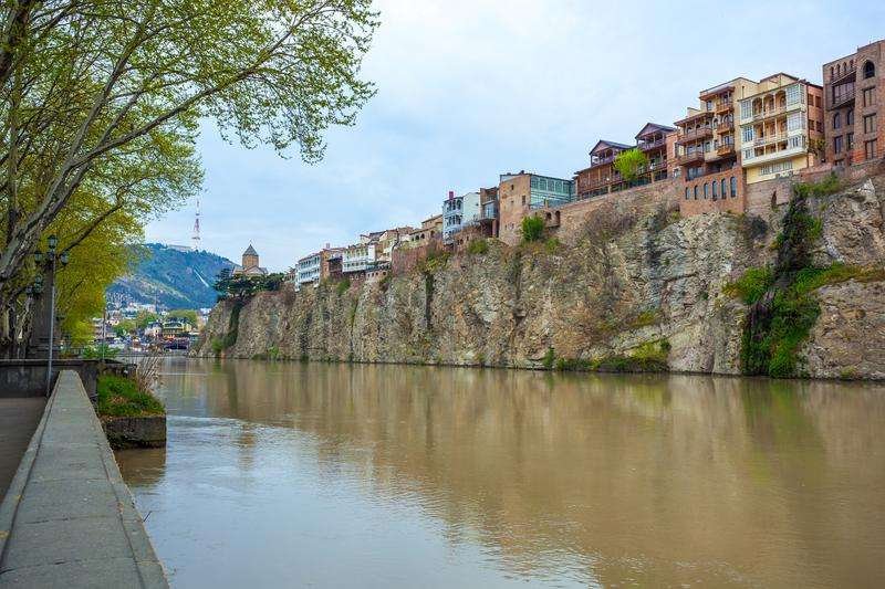
Mtkvari (Kura) is the main waterway of the capital of Georgia, although its indicators (length, flood, energy potential) are inferior to other Georgian rivers.
The Kura flows through the territories of several historical and geographical provinces and large urban settlements. Therefore, for many centuries the river has served as an important waterway.
The Kura is one of the largest rivers in South Georgia, its total length is 1200 km, and the catchment area reaches 200 thousand km2. Rivers flow into the Kura: Paravani (at Khertvisi), Liakhvi (at Gori), Aragvi (at Mtskheta), Khrami, Iori and Alazani (at the Georgian-Azerbaijani border), Araks (on the territory of Azerbaijan), etc.
The Kura flows into the territory of Georgia near Vardzia, along steep slopes, a canyon-like valley. The canyon is formed between the volcanic Erushet upland and the Javakheti volcanic upland. The depth of the canyon is 500 meters. From here you can enjoy a beautiful panorama of the Tmogvi fortress.
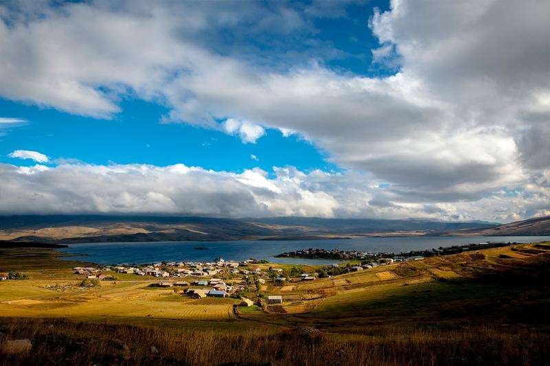
Among the lakes of Georgia, Lake Paravani is the largest by area, Lake Tabatskuri by flood, Ritsa by depth, and Lake Paliastomi is distinguished by a variety of biovids.
Lake Paravani is located in Southern Georgia, on the Javakheti volcanic upland, between the Abul-Samsar and Javakheti ranges, at an altitude of 2073 meters above sea level. Paravani is a flowing lake. The Parvana River flows out of it, that is, the Kura Javakheti. The lake is fed mainly by groundwater and snowmelt. Groundwater determines the temperature regime of water: the temperature of the lake water is always 1-2 higher than the air temperature in coastal areas.
The large volume of water in Lake Tabatskuri is due to the surface area (14.2 km2) and depth (40 m.). Tabatskuri, like Paravani, is a high-altitude lake and is located at an altitude of 1991 meters above sea level, in Southern Georgia, between the Abul-Samsar and Trialeti ranges. The lake is mainly fed by melted snow, which is why the amplitude of the water level reaches 2 meters. The water temperature in the lake does not exceed +15 ° even in the summer months. Cold water favors the reproduction of trout, which is mined here in large quantities.

41 comments
Log in to leave a comment
Автор хорошо передаёт разнообразие природных форм: от спокойных плёсов реки Куры до впечатляющих каньонов, где скалы словно разрезают землю, а вода несёт своё течение с удивительной силой. Такое сочетание водных пространств и каменных стен делает пейзажи особенно эффектными и подходящими как для фотографий, так и для неспешных прогулок.
Меня особенно впечатлил акцент на каньонах Варции, Паравани и Табацкури: каждый из них имеет свой характер — один более узкий и глубокий, другой более протяжённый, а третий — с широким видом на долину и водную гладь. Такая географическая палитра даёт ощущение целой серии природных мини‑путешествий в рамках одной поездки.
Особенно полезны практичные советы о том, где можно остановиться, какие виды лучше всего открываются на разных этапах маршрута и когда время для фотографий самое удачное 📸 — такие детали делают статью не только приятной для чтения, но и полезной для планирования визита.
После прочтения сразу возникает желание увидеть эти каньоны своими глазами — ведь Грузия невероятно разнообразна, и здесь каждый природный объект рассказывает свою историю.
Спасибо за вдохновляющий обзор!
А вы уже были на берегах реки Куры или в этих каньонах? Какие виды произвели на вас самое сильное впечатление — вода, скалы или сочетание обоих? 🌄💫