




💧 Lake Jandari (Candargöl): Where Georgia's Border with Azerbaijan Runs Through Open Water
Lake Jandari at a glance
A transboundary reservoir on the Georgia-Azerbaijan state border: the border runs directly through the middle of the lake. 10.6 km², 20+ fish species, an important migratory bird stopover. 12 km from Gardabani.
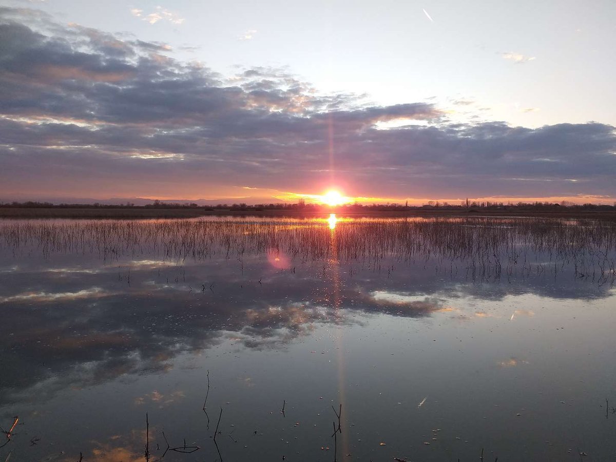
Lake Jandari sits at the far south-eastern edge of Georgia. What makes it unusual — and what very few lakes anywhere in the world share — is that the state border between Georgia and Azerbaijan runs directly through the water, straight down the middle of the lake. A Georgian fisherman and an Azerbaijani fisherman can be two hundred metres apart, each on their own side of an international frontier.
The Georgian shore belongs to Gardabani municipality, Kvemo Kartli; the nearest village is Jandari. On the Azerbaijani side lies Agstafa district, with the village of Aggöl nearby.
📜 A Reservoir, Not a Natural Lake
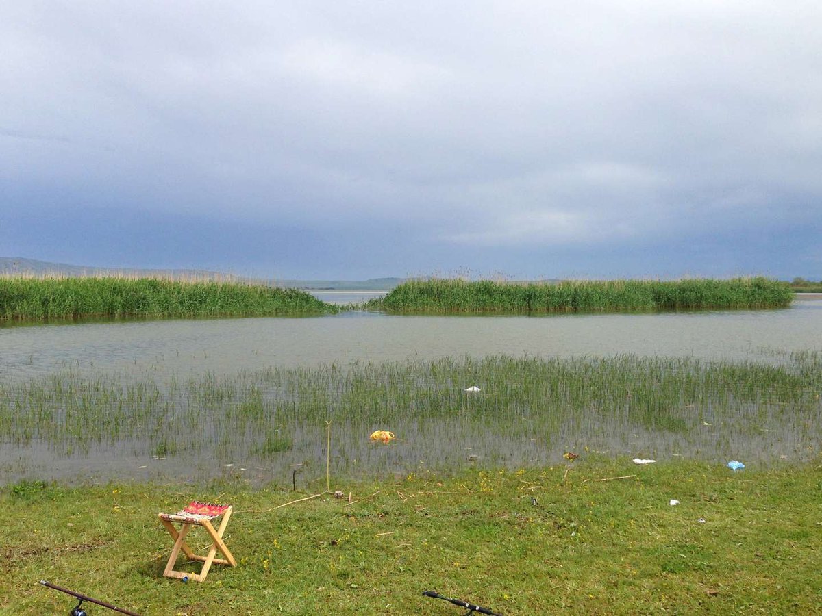
Lake Jandari looks like a natural body of water but is technically a fill reservoir. Its water comes not from underground springs but from the Mtkvari (Kura) River, channelled through the Gardabani Main Canal, constructed in the 1870s during Russian imperial rule. Originally called the Mariinsky Canal after a Russian empress, it has created and sustained the lake for a century and a half.
References to Jandari appear on South Caucasus maps from 1823, making it one of the best-documented water bodies in the region long before the Soviet period.
🤝 The 1993 Water Agreement
Since the lake is transboundary, its replenishment is a matter of international treaty. In early 1993, the Committee on Land Reclamation and Water Resources of Azerbaijan and the relevant department of Georgia's Ministry of Agriculture signed an agreement under which:
Georgia delivers 70 million m³ of water from the Kura into the lake annually. Of this, 50 million m³ goes toward irrigating 8,500 hectares of agricultural land in Azerbaijan's Agstafa district. The remaining 20 million m³ maintains the ecological balance of the lake itself.
This stands as one of the few functioning water-sharing arrangements between two states of the South Caucasus.
🦆 Birds: A Significant Flyway Stopover
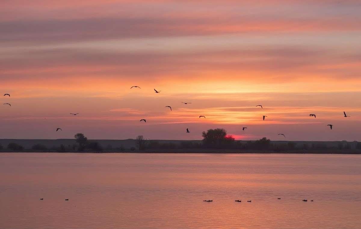
Jandari is a meaningful birdwatching destination. During spring and autumn migration, large numbers of waterfowl gather here: pelicans, various duck species, herons, cormorants. The reeds and cattails lining the shores create ideal conditions for resting and feeding.
The best time for birdwatching is early spring (March–April) and autumn (September–October). Bring binoculars: during peak migration thousands of birds can be on the lake at once. Pelicans are among the most striking visitors.
🐟 Fish and Fishing
The lake holds more than 20 fish species. These include common carp, pike, catfish, grass carp, Caspian roach and the Caucasian khramulya (Capoeta), an endemic fish of the Kura basin. Fishing is practised by local residents on the Georgian shore.
🏺 Nearby: Archaeological Sites
The surroundings of the lake contain historical sites that tourists almost never visit. Close to Jandari are 9 kurgan burial mounds belonging to the Keshikchidag complex. Also nearby: the sites of Garadyuz, Garabyg and Saryburu, attributed to the Acheulean period and Mousterian culture — the era of early hominids. This is one of the few areas of the South Caucasus with such a concentration of prehistoric human traces around a water body.
🚗 Getting There
About 50 km from Tbilisi, 12 km from Gardabani. The road is paved. The nearest village on the Georgian shore is Jandari.
🗺️ What to See Nearby
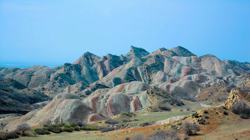
Mravaltskaro Colourful Mountains — striped sedimentary hills of sandstone and marine salt in the same semi-desert, about 20 km away. Easy to combine in a single day.
Mravaltskaro Reservoir — a scenic lake amid rust-coloured hills at 510 m elevation.
David Gareja Monastery — a cave monastery carved into the rock of the Gareja desert, about 60 km away.
Have you fished or visited Lake Jandari? Leave a review on Madloba — share how many birds you saw, whether the fishing was good and what the Georgian shore looks like now. It helps everyone planning the trip.
Information current as of Jule 2026. Fishing regulations may vary — check current rules before visiting.
❓Frequently Asked Questions
In Gardabani municipality, Kvemo Kartli, Georgia, 12 km from Gardabani and about 50 km from Tbilisi. The state border between Georgia and Azerbaijan runs directly through the middle of the lake.
No. Technically it is a fill reservoir: water is delivered from the Mtkvari (Kura) River via the Gardabani Main Canal, built in the 1870s during the Russian imperial period.
"Göl" is the Azerbaijani word for "lake." "Candargöl" is the Azerbaijani name for this body of water. On Georgian maps it appears as ჯანდარის ტბა (Jandaris Tba, meaning Jandari Lake).
Fishing is practised by local residents on the Georgian shore. The lake holds more than 20 fish species including carp, pike and catfish. Check current fishing regulations before visiting.
During migration (spring and autumn): pelicans, various duck species, herons, cormorants. The reed-fringed shores provide good conditions for nesting.
Mravaltskaro Colourful Mountains (~20 km), Mravaltskaro Reservoir, David Gareja Monastery (~60 km). Everything can be combined in a single day trip from Tbilisi.

4 comments
Log in to leave a comment
Ein bisschen Sorge bleibt, ob man wirklich Ruhe findet oder nicht von der Umgebung abgelenkt wird. Der Gedanke, ein Stück Natur zu genießen, abseits von allem Trubel, klingt so attraktiv und doch kommt das große Fragezeichen: Gibt es da wirklich einen Platz, wo man ungestört sein kann? Ich frage mich, ob jemand Erfahrungen hat, die das bestätigen?
我一直在想,除了钓鱼和野餐,还有什么其他活动可以让我们更好地享受这个地方呢?