




🕳️ Samshvilde Canyon: Nature Around Georgia's Oldest City
Before You Go
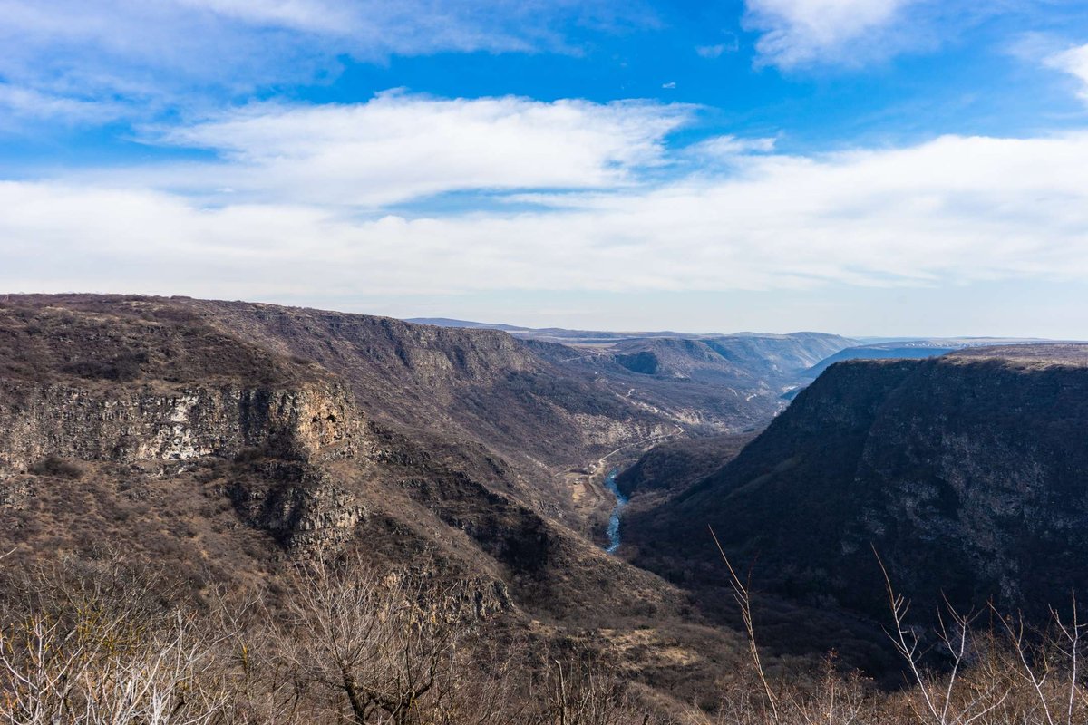
Samshvilde Canyon cuts through Kvemo Kartli where the Khrami and Chivchavi rivers meet, close to the village of the same name in the Tetritsqaro Municipality. It is not a fenced viewpoint but a wild gorge, with cold, clear water running along the bottom and the ruins of an abandoned medieval city hanging over the edge.
The place is better known to hikers and history buffs than to mass tourism, and that is exactly why it still feels untouched.
📍 Where the Canyon Is and Where to Start
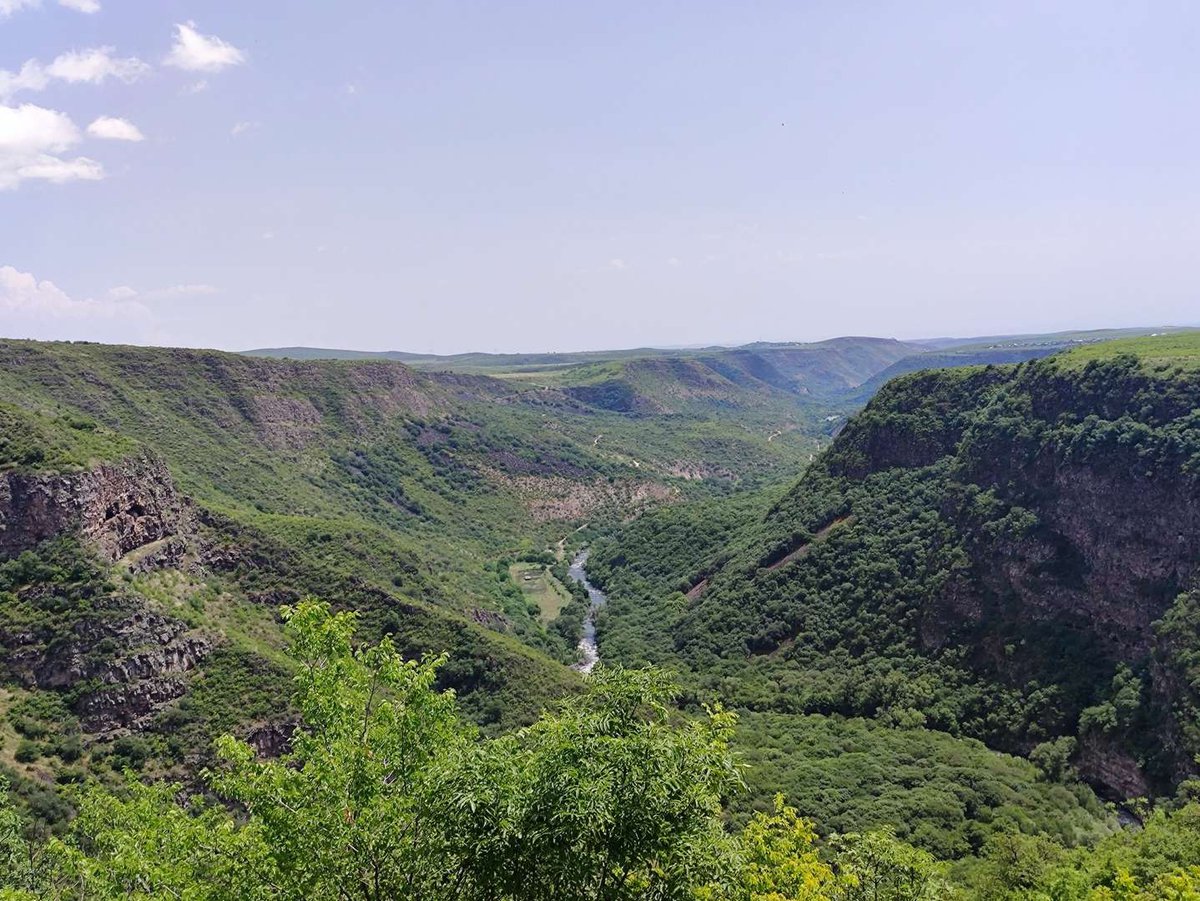
The navigation point is Samshvilde village. From there it is roughly a kilometre to the canyon rim and the ancient city ruins. The road is paved almost to the village, then turns into a dirt track and a walking path.
The canyon and the ancient city are physically neighbours. The citadel and the Sioni church stand right on the promontory above the gorge, so the viewpoints over the canyon and the historical sites are, in practice, the same spot. If you are heading to the ruins of ancient Samshvilde, the canyon will be right beneath you without any extra detour.
🏞️ How the Canyon Was Formed
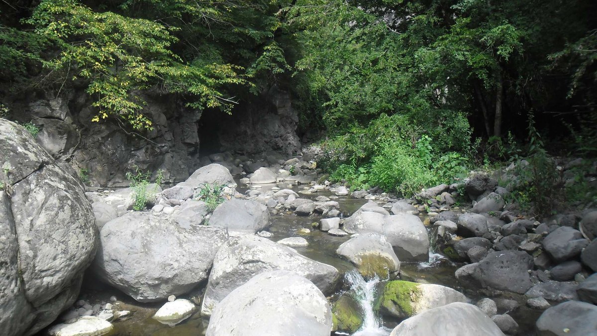
The Khrami curves around the promontory from the south, while the Chivchavi gorge cuts in from the north, narrower and more wooded. Guides describe the canyon's base as quartz porphyry, a rock formed by ancient lava flows, with the river cutting the valley into this hard base over thousands of years. That explains the near-vertical walls in places.
The same sources put the combined length of the canyon system, the Khrami and Chivchavi gorges together, at around 5-6 km, with the depth reaching roughly 300 metres at the confluence. I could not find an official geological survey confirming these exact figures, so treat them as a working estimate rather than surveyed data.
🚶 Walking the Canyon
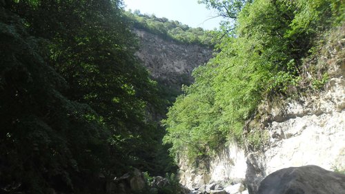
There is no staircase or built path down. From the walls of the ancient city, a route drops into the Khrami gorge and continues along the river through mossy forest.
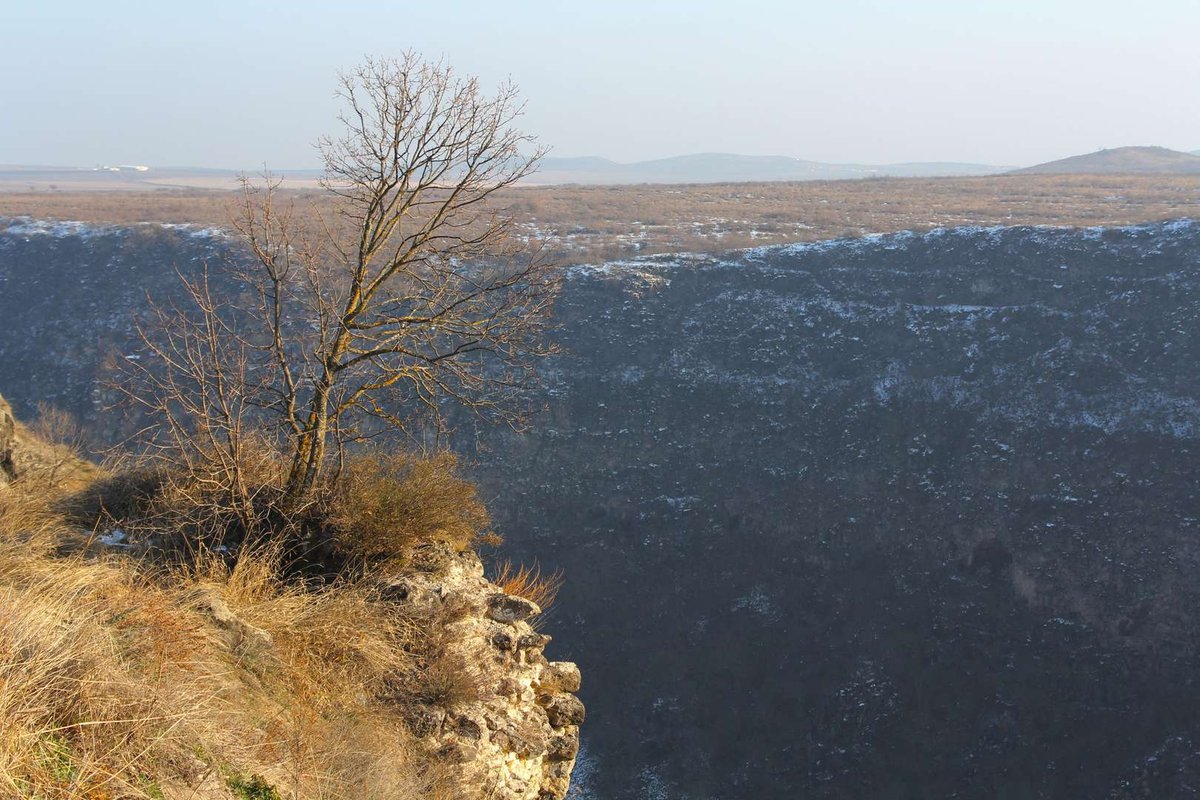
- From the citadel and Sioni church ruins, walk to the canyon edge for the best overhead views.
- Find the descent into the Khrami gorge from the city side, it is steep and has no railing, so take it slowly.
- Follow the river through forest covered in moss and walnut trees, the water stays cold and clear even in summer.
- Cross the river wherever the terrain requires it, closed, non-slip shoes make this much easier.
- Reach the old stone bridge over the Chivchavi, which travellers' accounts date to the late medieval period.
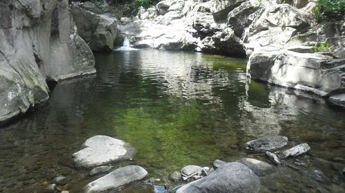
- If time and water levels allow, continue a little further downstream on the Chivchavi, where visitors describe a small waterfall and a pool people swim in during summer.
- Head back the same way, or via the path on the village side if it is visible from that bank.
This is not a stroll in trainers after rain. The river crossings and unmarked stretches mean it is better done with company, and it is worth setting aside 2-3 hours for the full loop rather than one.
🏛️ What's Nearby: The Ancient City of Samshvilde
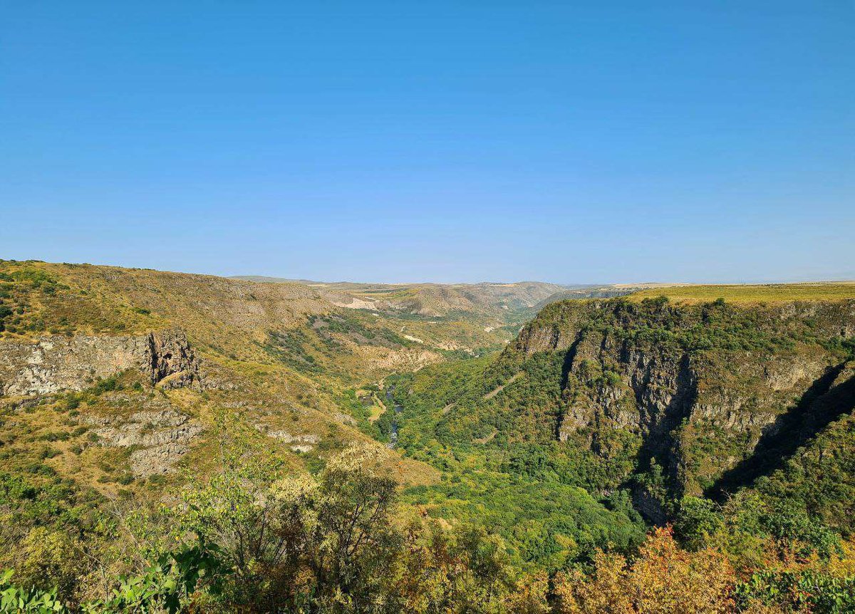
On the promontory above the canyon lie the ruins of one of the oldest cities in ancient Kartli. The triangular site between the two rivers was settled as early as antiquity, and what survives today, the walls, the citadel and the Sioni church, mostly dates from the early medieval period.
The full history of the city, who built it and why it was abandoned, is better covered separately, there is little point repeating it in a piece about the canyon. You can read more in the entries for the Samshvilde fortress city and the Sioni church, while the wider archaeological context of the region is gathered at the Samshvilde and Kldekari museum-reserve.
🚗 How to Get There
By car from Tbilisi, the road runs through Tetritsqaro, and from there it is a short drive to Samshvilde village. The paved road ends at the village, the last stretch is a dirt track that can get muddy after rain.
From Tbilisi, the route usually goes via Rustavi and Tetritsqaro, from Bolnisi it is via Tetritsqaro from the other direction. Public transport does not run reliably all the way to the village, a more realistic plan is a marshrutka to Tetritsqaro and a taxi from there.
Leave the car by the village, then it is about a kilometre on foot to the canyon edge and the ruins. The route buttons below take you to the village turnoff, not to the rim itself, no road reaches the edge, only your legs will.
Route: From the Village Turnoff to the Canyon Rim
Drive to Samshvilde village, then about a kilometre on foot to the rim and the ruins.
👨👩👧 Is It Suitable for Kids
Strollers and small children cannot make it here, the road ends at the village and the rest is on foot, through the ruins and along an unfenced drop. Teenagers who are confident on rough terrain and understand they need to stay well back from the edge can manage the route, but an adult should stay with them the whole way.
What to Pack
📌What to Check Before You Go
Worth checking the water level in advance, especially in spring, when the crossings can run deeper than usual. The dirt road condition after rain is also worth a check if you are driving a low car. And plan to finish the whole loop in daylight, looking for the way down among the ruins after dark is not a good idea.
Have you been to Samshvilde Canyon? Leave a review on Madloba: tell us what the crossing was like when you went, how long the walk to the waterfall took, and what first-timers should know.
Information is current as of July 2026. Before visiting, check the road condition, river levels and weather, conditions at a natural site with no infrastructure can change quickly.
❓ Frequently asked questions
💬 In Kvemo Kartli, in the Tetritsqaro Municipality, near Samshvilde village, about 65-70 km from Tbilisi. Use the village as your navigation point, the canyon is roughly a kilometre further on foot.
💬 Guides put the depth at around 300 metres where the Khrami and Chivchavi meet. I could not find an official geological survey confirming this figure, so treat it as an estimate.
💬 It is a walking route, no gear required, but with a steep descent and river crossings. Reasonable fitness and closed shoes are enough, you do not need technical hiking experience.
💬 Strollers and small children cannot get there. Teenagers who are confident on rough terrain can manage it, but only with an adult along the whole way.
💬 Spring and autumn are more comfortable for temperature and scenery, but the rivers run higher and crossings are deeper. In summer there is less water, so walking is easier, though it gets hotter on the open stretches by the ruins.
💬 They are the same place, seen from two angles. The ancient city is the ruins on the promontory above the drop, the canyon is the gorge and river below it. The viewpoints over the canyon and the historical sites are nearly the same spot.
💬 There is no reliable regular transport to the village. A realistic option is a marshrutka to Tetritsqaro and a taxi from there to the village, then about a kilometre on foot.
💬 Yes, an old stone bridge survives over the Chivchavi river, which travellers' accounts date to the late medieval period. It is part of the walking route along the canyon.
💬 Further downstream on the Chivchavi, visitors describe a small pool below a waterfall where people swim in summer. There is no official swimming infrastructure, the water stays cold even in hot weather, so judge your own limits before going in.
Read also

37 comments
Log in to leave a comment
на,хотя пещеры всегда вызывают у меня тревожное чувство(что страшилка появится).Но посмотреть хочется.Жаль нет фото руин города
Самшвилди и собора Самшвилдского Сиони.Подумать только, что много столетий назад здесь кипела жизнь,а сейчас туристы осматривают
руины города,пещеры.Что могло произойти,что города не стало совсем?Интересно очень.