




Tskaltsitela Valley Guide: Caves, Canyons and Forests
The Tskalcitela River originates on the slopes of Nakerala Mountain in the Rachinsky range, at an altitude of 1080 m above sea level and flows through the territories of Tkibulsky and Terdzholsky municipalities. The lower reaches of the river are located near the eastern border of Kutaisi.
The river received its name during the Battle of Khresila: according to legend, in 1757, during the battle on the Khresila field, in the valley, which today is called Tskaltsitela, Georgian troops led by King Solomon I fought with the Ottoman army. The river turned red from the blood of the dead and wounded. – water, and the color is red). In fact, during high water, almost the entire perimeter of the riverbed is washed away by the red rocks of the earth in Okribi, and the water turns red.
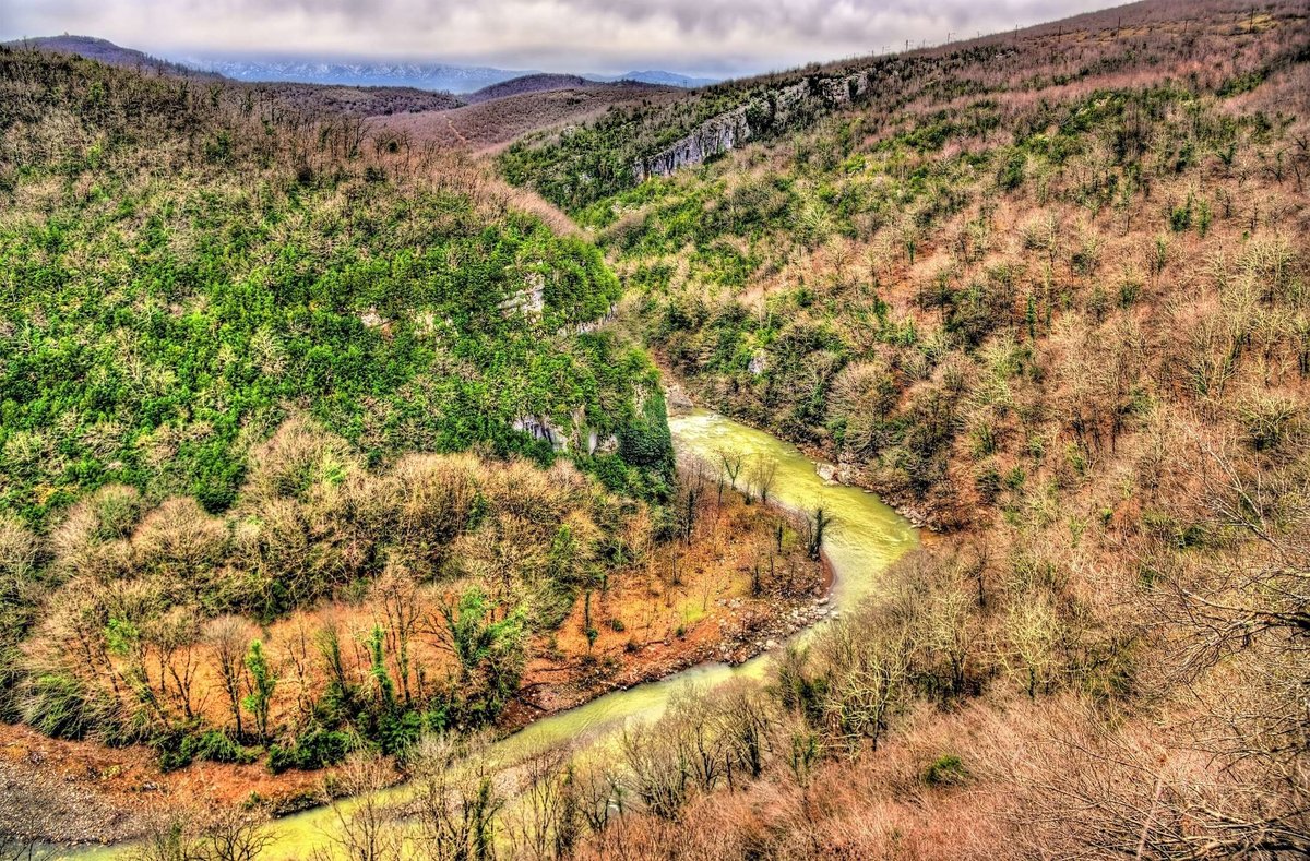
The Tskalcitela Valley Natural Monument is an extraordinarily beautiful canyon–shaped valley covered with forests of Colchian trees. There are several natural monuments in the valley. Among these monuments, the cave of Jason and the cave of Sakasia are distinguished. The natural monument is the Tskalcitela cave near the bridge, on the right bank of the river, at an altitude of 135 m above sea level.
The Sakazhi cave natural monument is located in the Terjolsky municipality, in the vicinity of the village of Godogani. This cave is of great interest to archaeologists, paleobotanists and paleozoologists. It is located at an altitude of 204 m above sea level. Sakazhi Cave is the first Paleolithic monument discovered in the Caucasus.
To the east of the valley of Tskalcitela, in the Terjolsky municipality, in the vicinity of the village of Godogani, there is a natural monument – Nagarevi cave (at an altitude of 199 m above sea level). 15 km from the valley, in the Terjola municipality, in the vicinity of the village of Navenakhevi (320 m above sea level), there is another remarkable natural monument – Navenakhevi Cave.
Location:
Tkibulsky and Terdzholsky municipalities, at an altitude of 130-200 m above sea level.
Coordinates:
N42 16'82''; Е42 45'64''
How to get:
The distance from Tbilisi is 230 km, from Kutaisi – 10 km.

41 comments
Log in to leave a comment
очень интересное место. В этой долине много пещер, каньонов.
Каньоны известно, что веками вымывалась протекающими водами скалы.
Реки сокращались в объёме, и оголялось русло реки.
В этих каньонах первобытные люди углубляли пещеры для укрытия.
Здесь есть пещера Сакажия первый памятник периода палеолита.
Долина реки густо покрыто Колхидскими лесами. Названием долины тоже связано
интересная легенда которую рассказывает автор в статье.
Она связано с красным окрасом воды при половодье.
Это вода смывает красные породы земли.
Очень красивая природа, и флора в этой долине. Для археологов и палеонтологов
это местность очень интересное место для научных работ, и исследований