




💧 The Cave, Waterfall and Boxwood Grove of Intsira: A Route Through Chkvaleri
Intsira at a Glance
A waterfall and cave with an underground river near the village of Chkvaleri in Samegrelo. This is a quiet spot: no buses come here, only a walk through the forest.
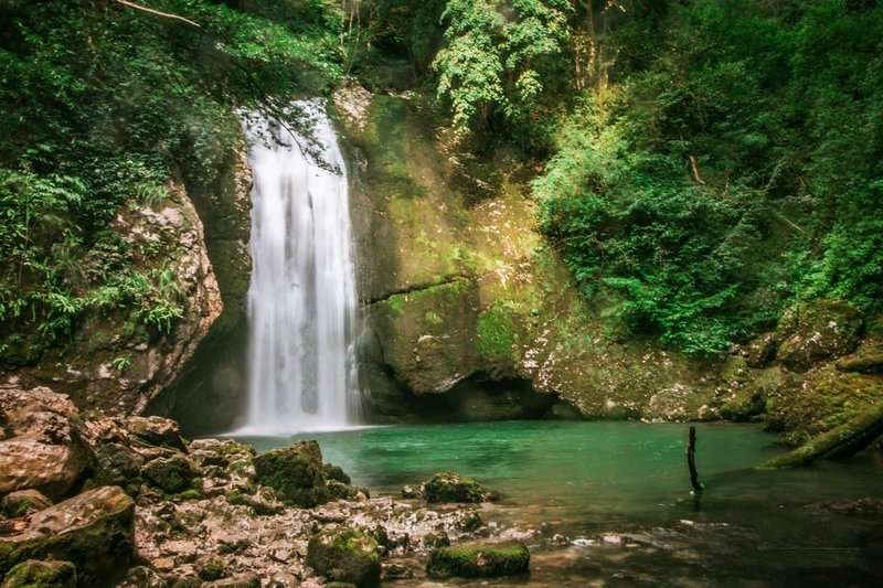
The municipality of Tsalenjikha sits on the border of Samegrelo and Zemo Svaneti, in the valley of the Inguri and Chanistskali rivers. Its name comes from the ancient Colchian tribe of the Chans: "Tsalenjikha" translates as "fortress of the Chans." It's within this municipality, in the valley of the Intsira River near the village of Chkvaleri, that three natural features sit hidden together, a cave, a waterfall, and a boxwood grove, all reachable on a single hike.
Few people know the place, largely because of how remote it is: the paved road ends at Chkvaleri, and from there it's a forest trail along the gorge on foot.
🕳️ The Cave of Intsira
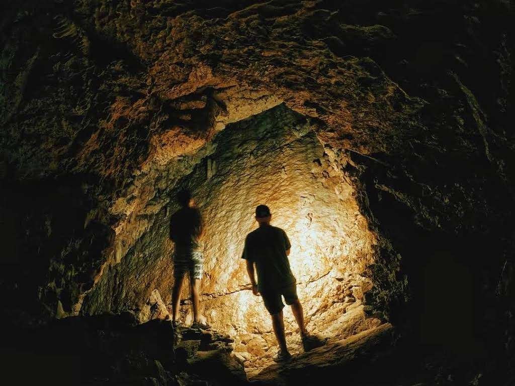
The Intsira River rises in the southern part of the Kvira limestone massif, within the same municipality. One of its branches originates directly inside the Kvira cave and emerges as an underground river. The Intsira cave itself, reached by a steep trail along a sheer rock face, formed within massive limestone deposits: its entrance stands about a metre to a metre and a half high and roughly three metres wide, and about 14 metres further in, the passage narrows again before a large stream, said by some accounts to flow at around 350 litres per second, emerges from an underground lake.
Part of that water is piped to residents of the Tsalenjikha municipality, while the rest tumbles over the rock face to form the waterfall itself.
💧 The Waterfall and the Emerald Pool
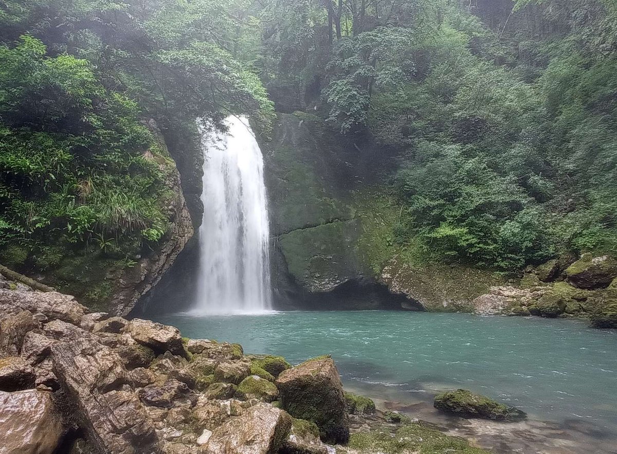
Worth being upfront here: Madloba's own sources disagree on the waterfall's height, anywhere from 26 to 30 metres, and we don't have a single verified figure. At the base, the falling water collects in a small pool with a distinctive emerald tint, that colour comes from dense vegetation and algae on the bottom rather than any unusual mineral content.
🌿 The Boxwood Grove
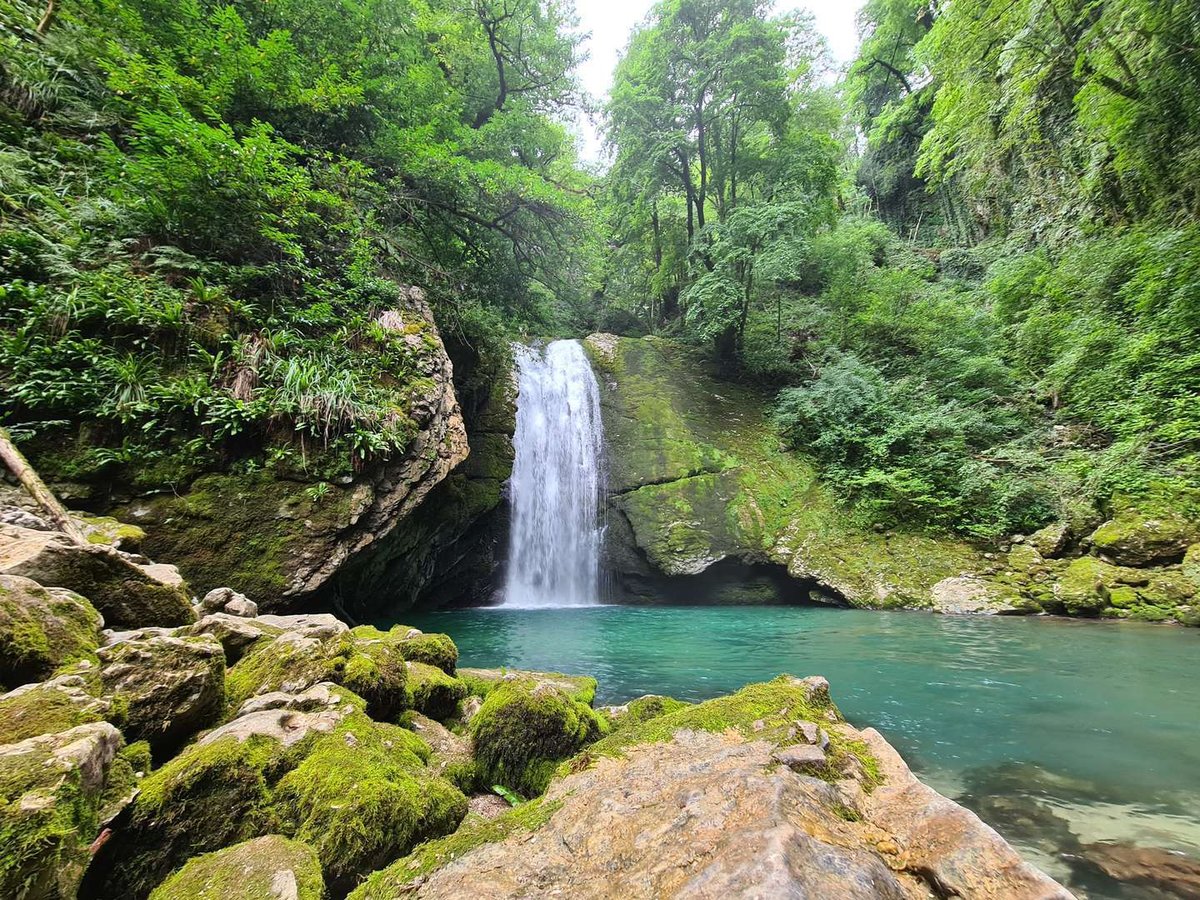
A grove of boxwood spreads around the waterfall and cave, an evergreen that thrives specifically on limestone soil, in humid conditions with limited direct sun, its branches thick with moss. That grove, together with the rocky gorge, is what gives the place its near-untouched atmosphere, the reason wild-nature enthusiasts come here rather than tourists after resort comfort.
🥾 Getting There and What to Expect
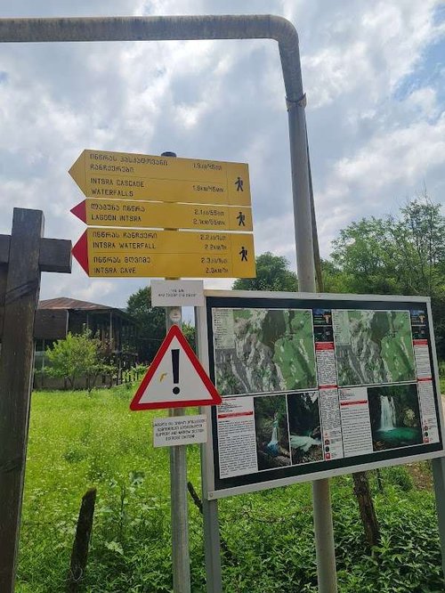
Use Chkvaleri village as your navigation point, the road there has improved noticeably in recent years. From there, the walk begins: some accounts put the trail to the waterfall at around 1.6 km, others at closer to 3 km, the difference likely comes down to whether you measure from the edge of the village or from a specific trailhead. Expect the walk to take anywhere from half an hour to an hour each way, depending on pace.
Either way, no vehicle reaches the waterfall itself, cars are left in the village. The trail follows a forest road before turning onto a steeper stretch along the gorge, described in some accounts as "difficult but manageable for any adult." No special preparation is needed, but sturdy closed shoes are essential.
For reference, distances run roughly 370 km from Tbilisi, 20 km from Tsalenjikha, 8 km from the Jvari valley, and by independent estimates, about two hours by car from Kutaisi.
What's Hidden Inside the Cave
📌 What to Pack
There are no cafes or shops nearby, so bring water and snacks, though you can also fill up on clean drinking water straight from the pipe at the cave. Trekking poles are worth having on the steeper sections, and a spare pair of shoes if you're planning to get closer to the pool at the base. Mobile signal can drop in the gorge.
What to Bring
Dry weather is best for a visit: after rain, the slope near the cave gets slippery and the trail less predictable.
Have you been to Intsira Waterfall? Leave a review on Madloba: tell us what condition the trail was in, whether you made it to the cave, and what first-timers should know.
Information is current as of July 2026. Trail and road conditions to Chkvaleri can change, check the current situation locally before you go.
❓Frequently Asked Questions
💬 In the Tsalenjikha Municipality of Samegrelo-Zemo Svaneti, near the village of Chkvaleri, in the valley of the Intsira River.
💬 The limestone Intsira cave, with an underground lake and a stream, part of which is piped to nearby villages for water supply and part of which forms the waterfall itself.
💬 Sources disagree, anywhere from 26 to 30 metres depending on the publication. There's no single verified figure at this point.
💬 Accounts vary, from 1.6 to 3 km one way depending on where you start measuring. Plan on 30 to 60 minutes at an easy pace.
💬 No, cars are left in Chkvaleri village, from there it's on foot along a forest trail and a stretch beside the gorge.
💬 A grove of boxwood, an evergreen that grows on limestone soil, its branches covered in moss.
💬 There's no official information on this, judge for yourself on site based on the current and water temperature.
💬 In dry weather, since the slope near the cave gets slippery after rain. Sources don't point to a specific season, trail conditions matter more than the month.

35 comments
Log in to leave a comment
Особенно вдохновляют советы от местных 👣💬 — они подсказывают, куда идти, где спрятаны лучшие виды и какие уголки долины стоят особого внимания, чтобы получить самые яркие природные впечатления 📸✨ Такой рейтинг делает подготовку к поездке намного интереснее и помогает почувствовать атмосферу места ещё до визита 💛
После насыщенной прогулки по долине так приятно представить, как ты зайдёшь в уютное кафе ☕🍰, обсудишь впечатления с друзьями за чашечкой ароматного кофе и бокалом грузинского вина 🍷 — отличный способ поделиться эмоциями от приключения! 🌞
Мне очень нравится, как этот рейтинг помогает прочувствовать дух места: живые описания, отзывы путешественников и полезные подсказки делают путешествие настоящим удовольствием 🌿🌄
А вы уже были в долине Инцра? Какие места или виды там особенно впечатлили вас, и в какое время года, по вашему мнению, сюда стоит отправляться, чтобы увидеть всё самое лучшее? 🏞️✨
отложениях. Дорога до него трудно проходимая после подъёма на один метр
вход трех метровой ширины. Через несколько метров расщелина опять
снижется, и здесь вытекает подземная река.
В статье говорится что половина воды подаётся через трубу в деревню,
а половина образует красивый водопад высотой 30 метров.
Около водопада густые заросли самшита.
Самшит- это растение вечно зелёное, и которое растёт на известняковой почве.
Нужна влажное местность и где не попадает много солнечного света.
Иллюстрация на фотографий- очень красивое. Водопад с брызгами воды,
туманом около падения воды и вода кристально чистое.
Зелёный цвет воды - это отражение самшита в воде и от водорослей на дне.