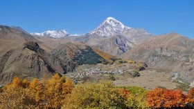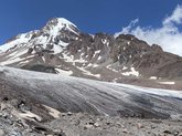

The glacier is located on the southeastern slope of Mount Kazbek (Mkinvartsveri), Kazbegi Municipality, among the natural attractions of the region. The glacier stretches roughly 7.1 kilometres, covers more than 11 square kilometres, and its tongue descends to around 2,900 metres elevation.
For more on the trek to the glacier, see the article on hiking Gergeti Glacier.
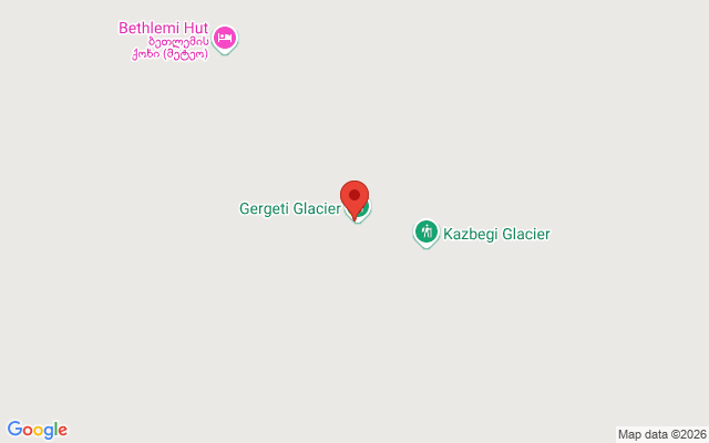
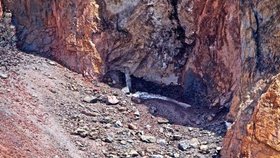
The glacier sits within an ancient volcanic caldera: Kazbek's cone crowns the north side, while the neighbouring peak of Ortsveri (4,222-4,365 metres), a separate summit within the same massif, forms the south. Climbers typically use Ortsveri as an acclimatisation point before attempting Kazbek itself. On the glacier stands Bethlemi Hut (the meteorological station), a wooden shelter at 3,650 metres serving as the main base camp for climbs: climbers spend the night here before the final push to the summit, and a small modern chapel nearby follows a local tradition of ringing a bell for good luck before the ascent. Higher still, at around 4,000 metres, lies Betlemi Cave, along with the "Black Cross," a key decision point where the trail splits: right toward Kazbek, left toward Ortsveri.
The trek to the glacier begins in Stepantsminda and takes 8 to 12 hours, with an elevation gain of up to 1,600 metres: a demanding route popular among experienced hikers. An easier option is to start from Gergeti Trinity Church, which noticeably reduces the effort required. The first real crossing of the glacier itself, at around 3,200-3,500 metres, involves crevassed sections and usually requires roped travel.
Have you conquered the Gergeti Glacier trek? Share photos and impressions on Madloba - inspire others to take this journey!