




Enguri River and Jvari Reservoir: Description, Photos, Route
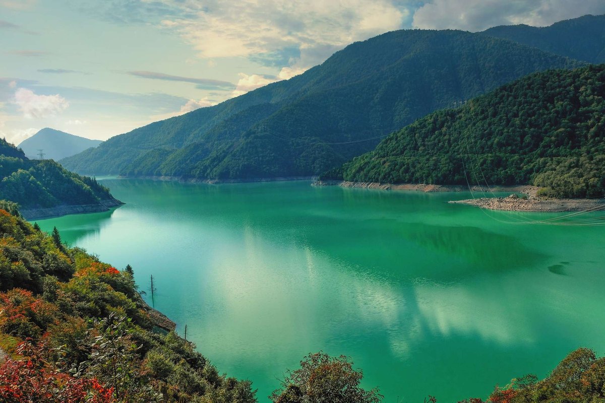
The Inguri River flows in western Georgia, on the border of several historical and geographical provinces (Samegrelo, Abkhazia, and Svaneti).
It originates from the glaciers of the Greater Caucasus Mountains, at an altitude of 2,614 meters above sea level. In the village of Anaklia, the Inguri flows into the Black Sea.
The Inguri is not very long (only 213 km), but it has quite impressive flow and drop rates. In some sections, the Inguri features canyon-like valleys and steep rapids, where the river reaches high speeds. In some places (the Tkheishi River, a right tributary), the river's drop reaches 117 meters, creating a truly impressive impact. The Inguri drainage basin ranks third in Georgia in terms of energy potential. The Jvari Reservoir was created on the middle reaches of the Inguri River, at the junction of the Abkhazian and Svaneti mountain ranges. Its dam is a unique engineering feat. The reservoir is the deepest in the Caucasus, reaching a depth of 226 meters.

51 comments
Log in to leave a comment
Очень помогли отзывы путешественников из рейтинга — там подмечены лучшие точки для остановки, где вода особенно прозрачная и где можно сделать отличные снимки, а также советы, когда лучше приезжать, чтобы ловить спокойный свет и тени на холмах вокруг. Такие практичные комментарии делают прогулку комфортнее и приятнее.
После прогулки по берегу заглянул в кафе неподалёку, где местный хозяин угостил холодным чаем — отличное завершение дня у воды.
Какие ощущения у вас сильнее: тишина у воды или движение течения реки, когда вы приходите к таким природным локациям?
Интересная ситуация складывается - когда две территории вроде и враждуют, а экономика вынуждает договариваться, и водохранилища с ГЭС работают на обе стороны.