




Mount Anaria in Batumi: A Hiking Guide to the Fort Ruins and Panoramic Views
There's a fort above Batumi that no travel guide has found yet. 19th-century ruins on a hill, a free entrance, and the best view of the city you can get anywhere. Local teenagers know about it — they come in the evening on motorbikes, go on dates there, sit on the walls and watch the lights below. Tourists almost never find it.
The hike to Mount Anaria is 16 km round trip, around 5 hours. One of the most accessible hiking routes in Georgia: 90% paved road, a gentle incline. People have done it with children. With dogs. Here's what to know.
Getting to the Trailhead
The trail starts on Mamia Varshanidze Street, in the upper part of Batumi. From the city centre it's 30–40 minutes on foot — a decent warm-up. GPS coordinates: 41.615021, 41.669002. Download an offline map in Maps.me or OsmAnd before you leave; mobile reception gets unreliable on the ascent.
Bus 15 runs to the "700-Zedagele" stop — roughly the midpoint of the route. From there, about 8 km of walking remains. Do the math: you're cutting nearly two hours off the total. Check the timetable at the stop or in the Batumi city transport app.
Bring water and food from the city. The route passes through a village, lively and pleasant, but there's nowhere to buy anything. That's how this trail works — no coffee shop every two kilometres.
Take a look at the entire route, and then we'll walk through the landmarks step by step.
The Route Step by Step
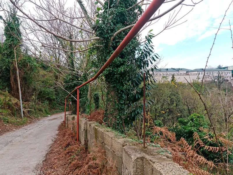
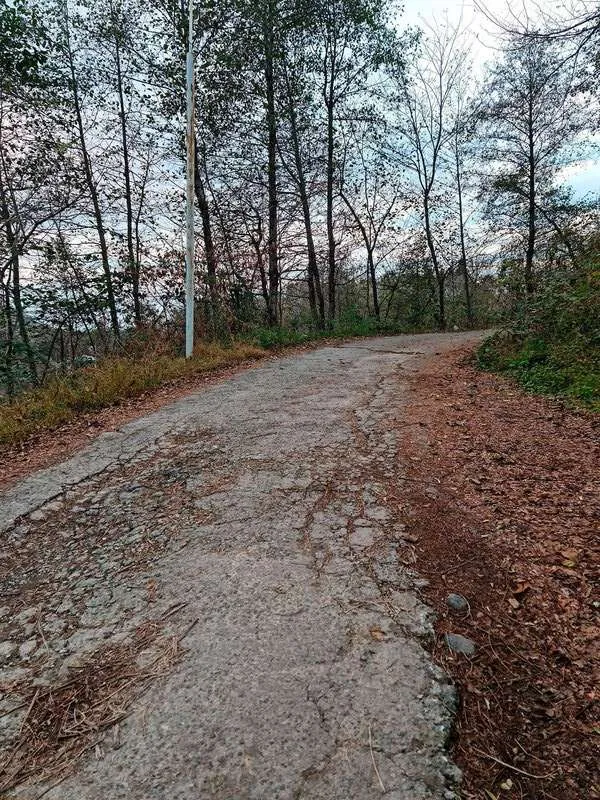
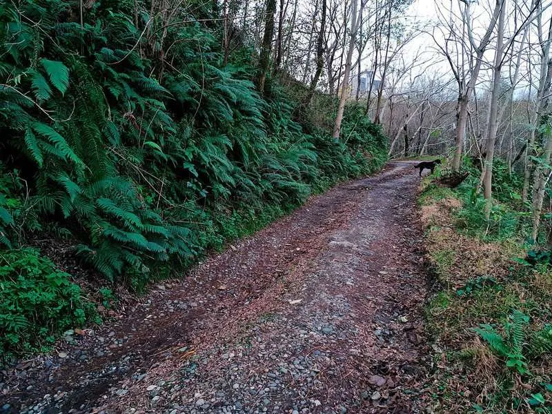
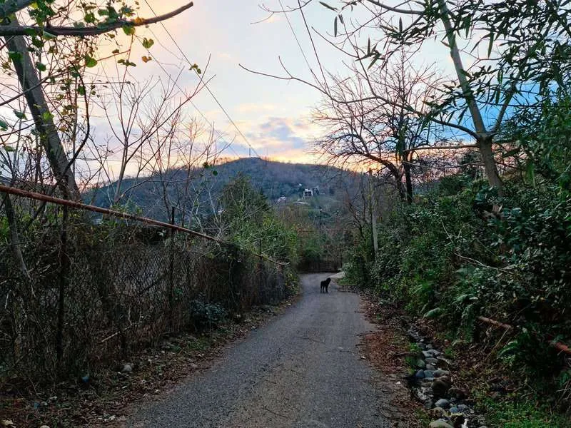
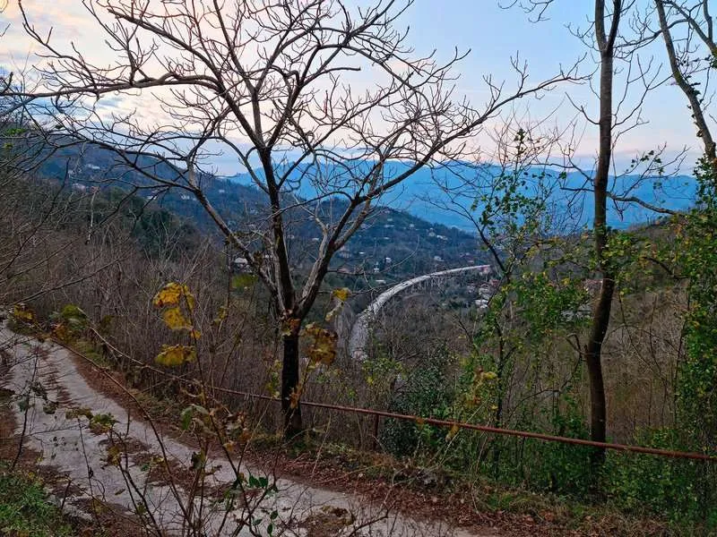
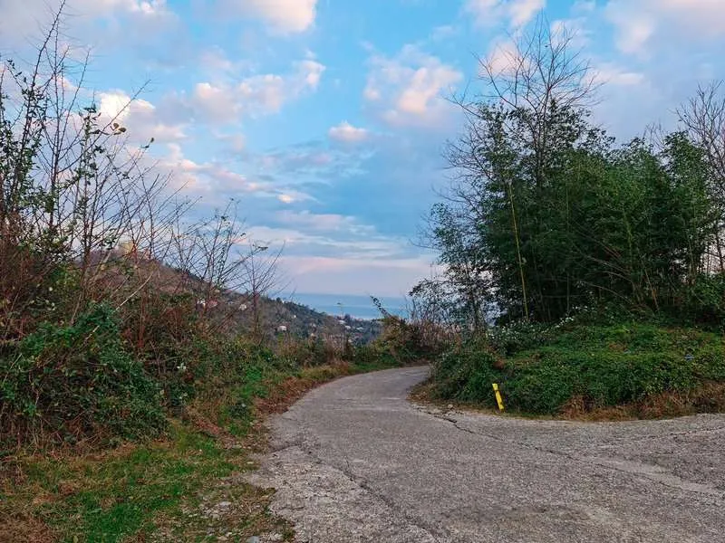
The path doesn't get confusing. Paved road almost throughout, no technical climbing.
- Start. You leave Batumi's upper residential streets heading into private housing. The apartment blocks fall behind, and quiet arrives surprisingly fast.
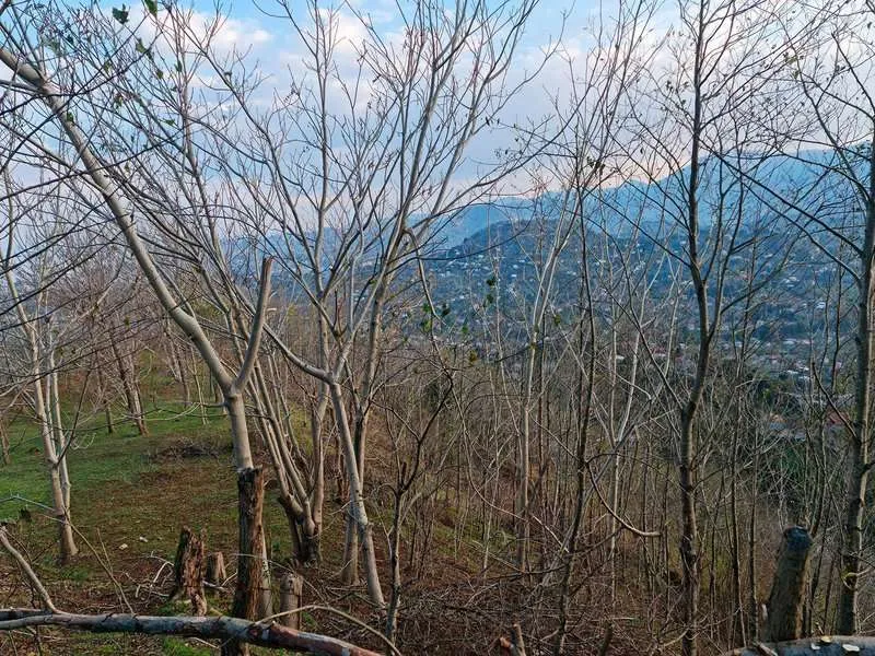
- Village. Around the halfway point, a small settlement. In October and November, mandarin and persimmon trees line the road with ripe fruit. In season it smells like something worth stopping for.
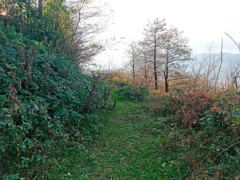
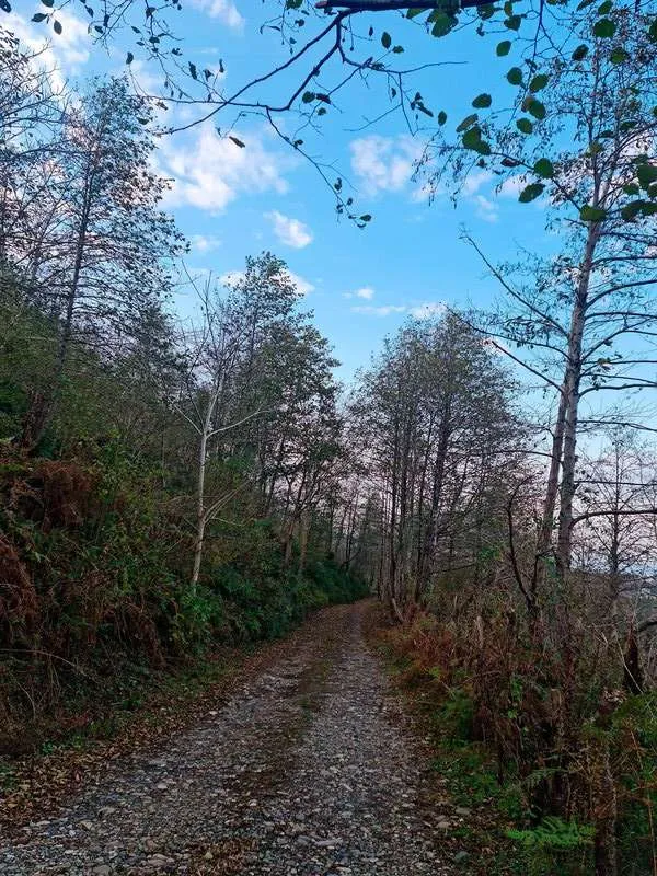
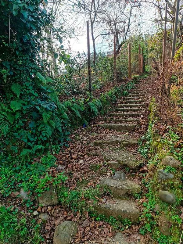
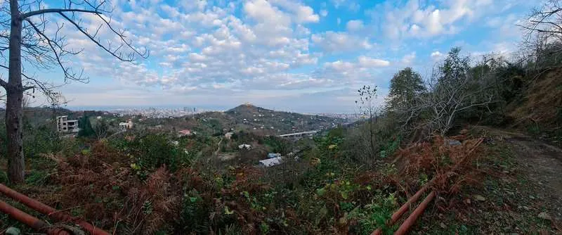
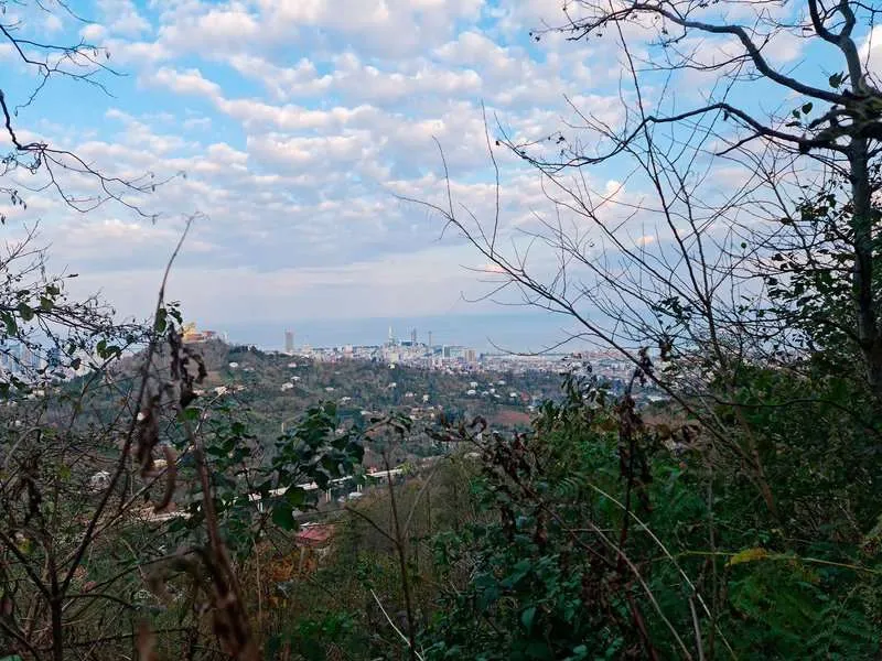
- Forest section. The last kilometre runs through shaded grove. Quiet, birds audible, the path narrows. A good spot to sit and drink water.
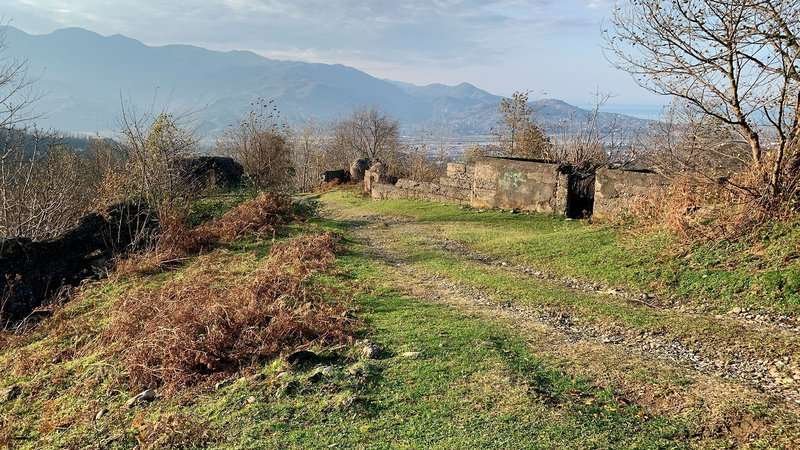
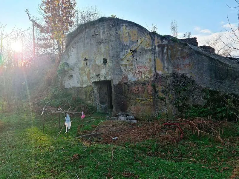
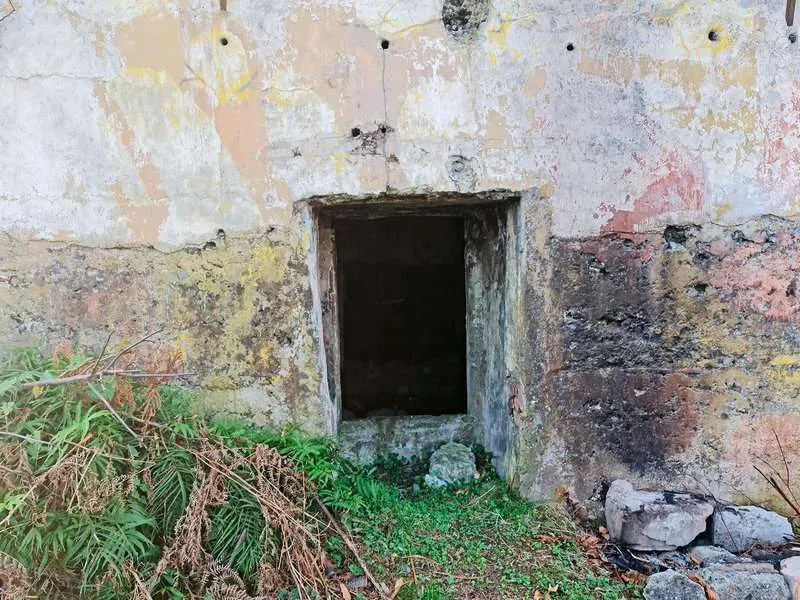
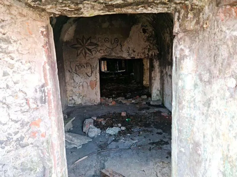
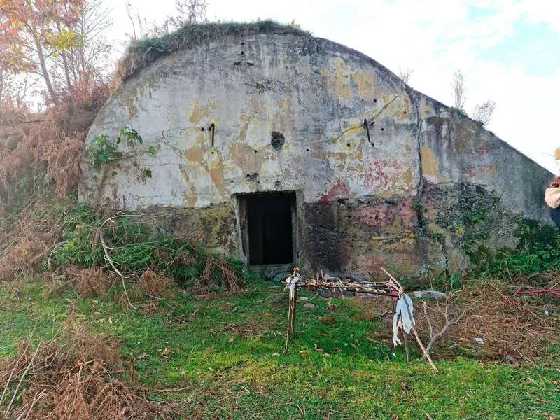
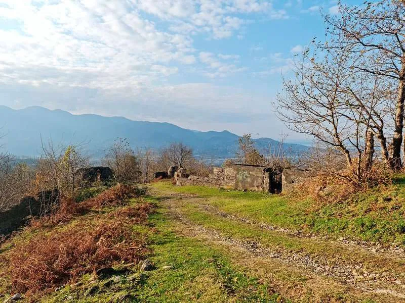
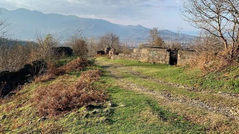
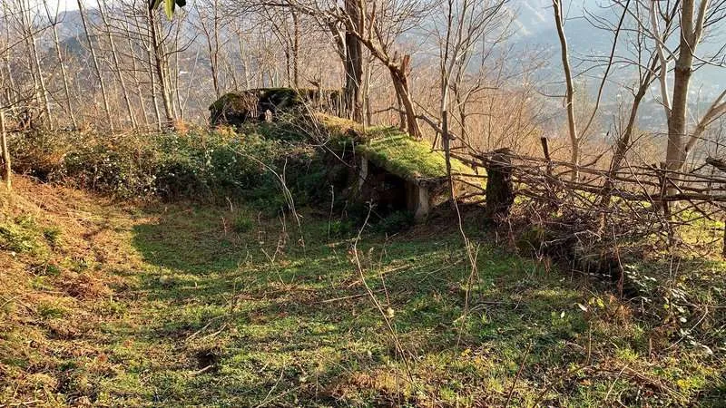
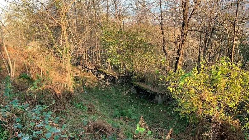
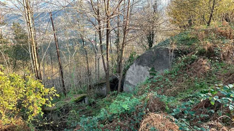
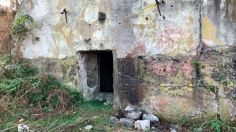
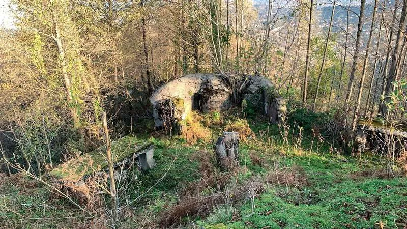
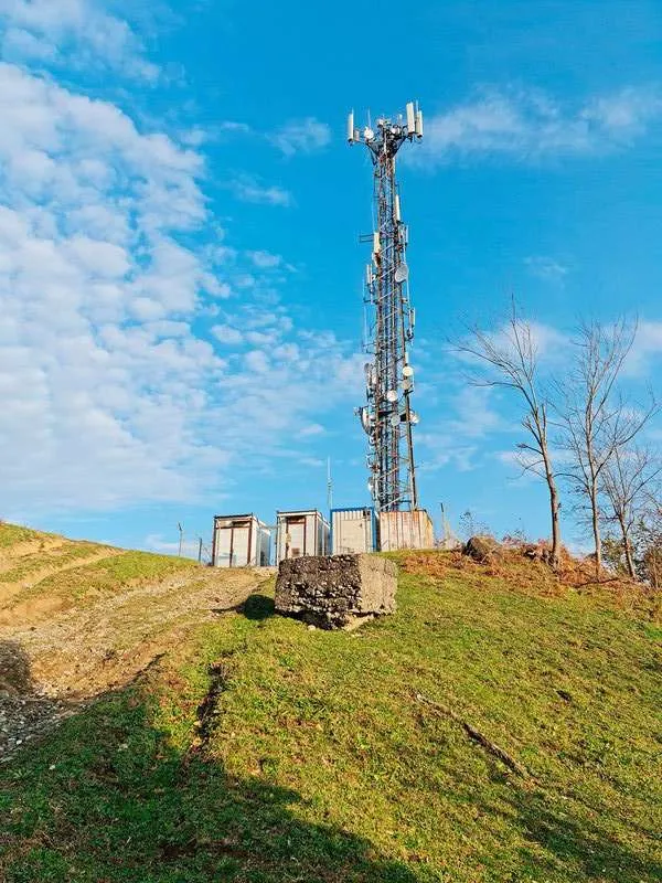
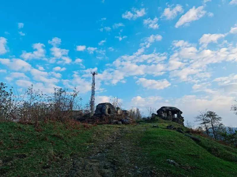
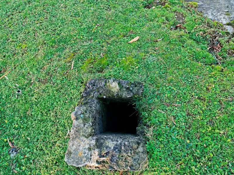
- The fort. A clearing with stone walls. Below the clearing — an underground passage you can enter. It's dark in there. Your phone torch is enough.
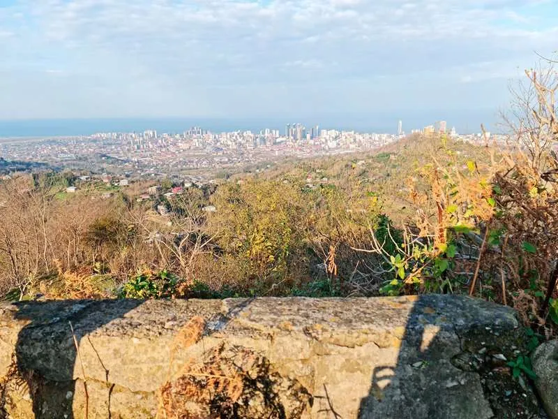
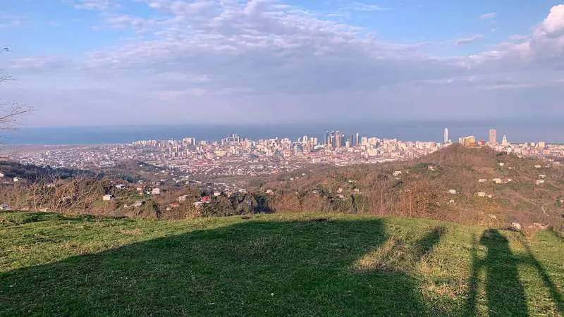
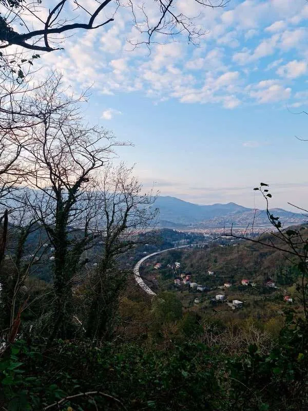
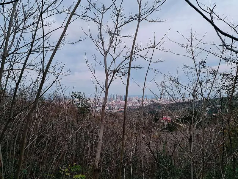
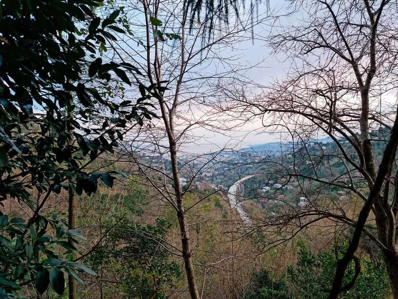
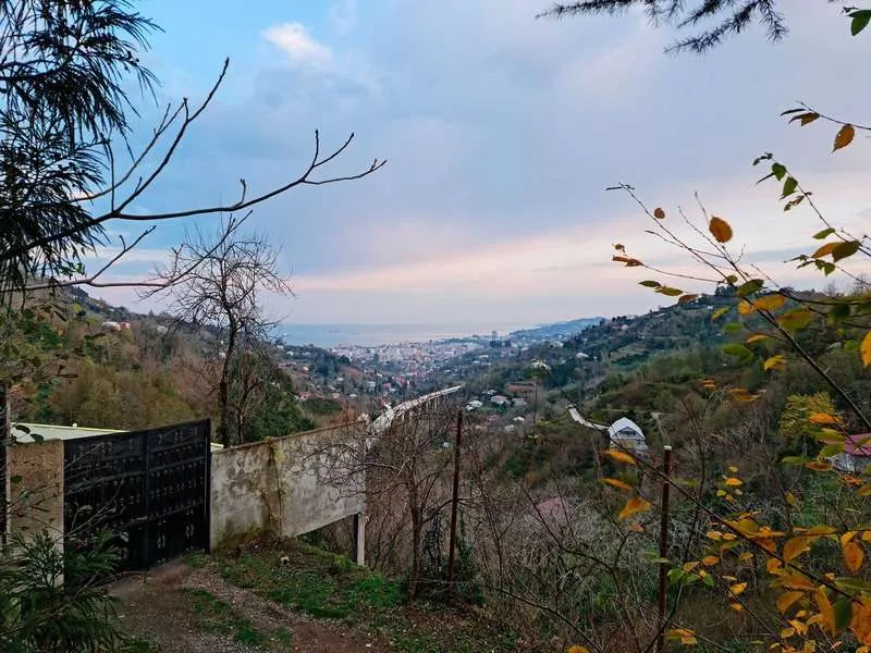
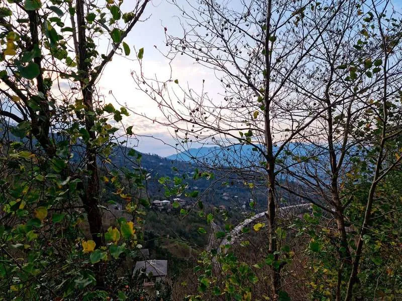
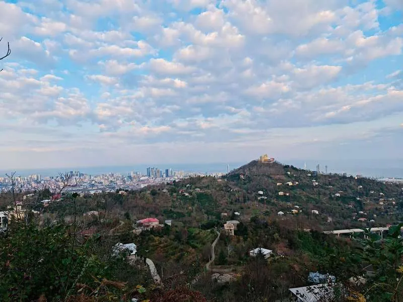
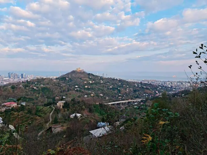
At several points along the climb, Batumi and the sea appear below. The road also sees local cyclists and motorcyclists, especially on weekends.
How Long It Takes and How Hard It Is
16 km in 5 hours sounds serious. It kind of is — and kind of isn't. Let's go through it properly.
Five hours is the full outing: up, time at the fort, back down. The ascent one way is about 1.5–2 hours of steady walking. On the route video, the fort appears around the 1:40 mark. Add 40 minutes if you're hiking with children or stopping for photos.
16 km on a gentle paved road is not the same experience as 10 km on a rocky mountain path. The pace is consistent and there's no scrambling involved. Several readers in the comments said the trail was easier than they expected. One admitted he wasn't sure he'd make it — and he did.
About the heat: Batumi has a humid subtropical climate. 🌿 In July and August, the exposed sections are genuinely difficult. May–June and September–October are more comfortable. Summer hikers: leave before 08:00 and carry twice the water.
With children — yes, it's been done, confirmed in the comments more than once. The one thing that matters beforehand: not "we're going for a walk", but "we're walking for five hours". That difference counts.
What You'll Find at the Top
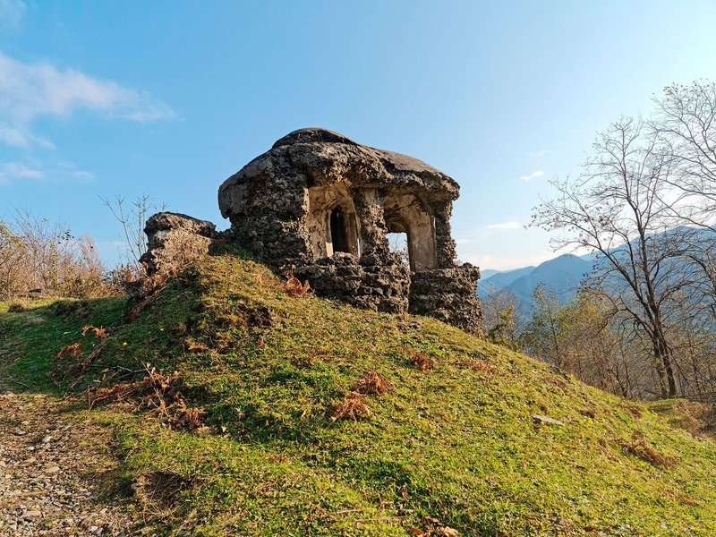
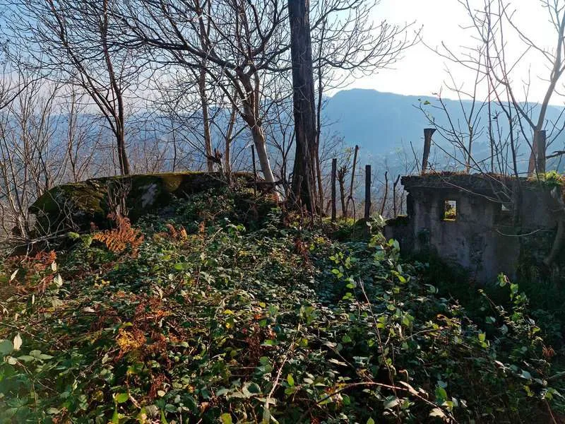
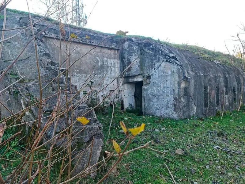
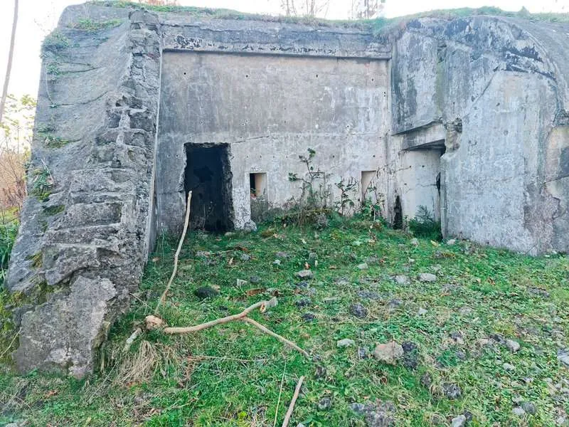
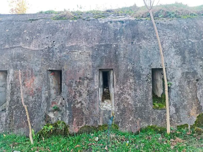
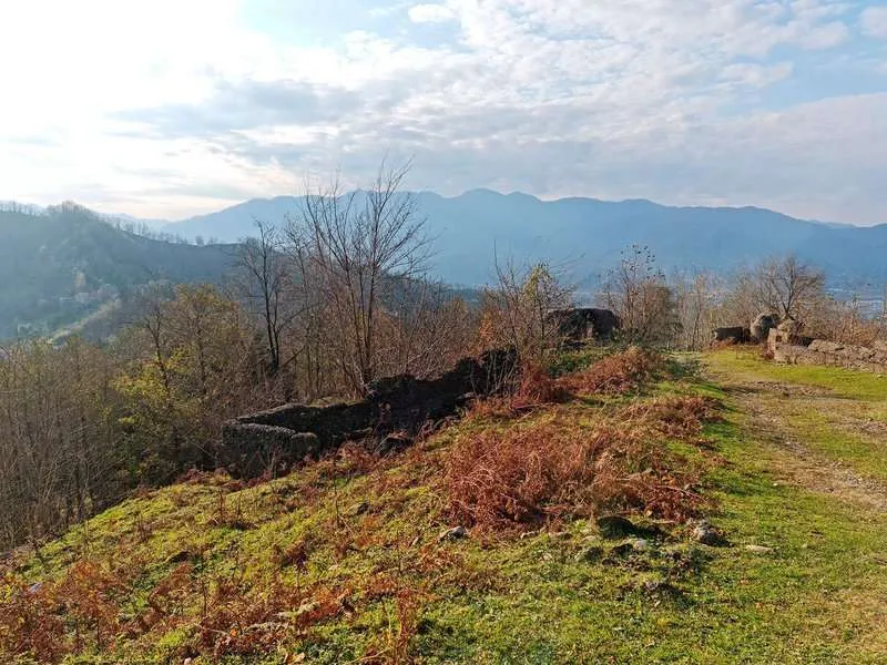
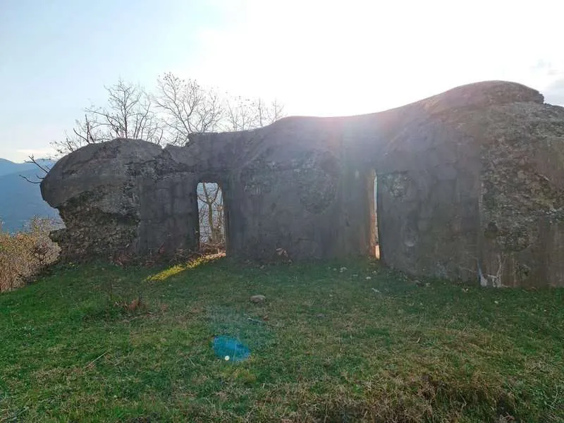
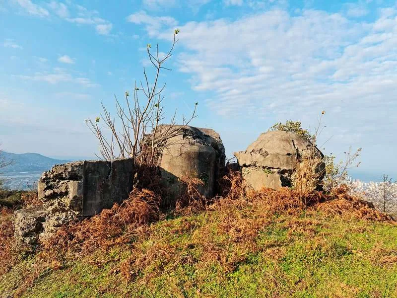
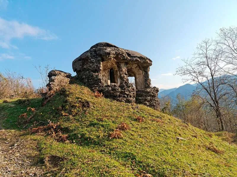
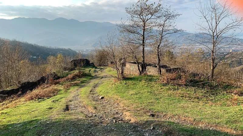
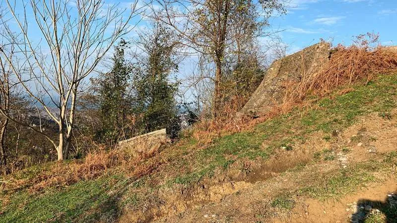
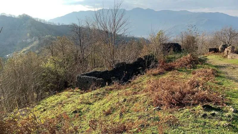
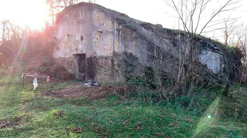
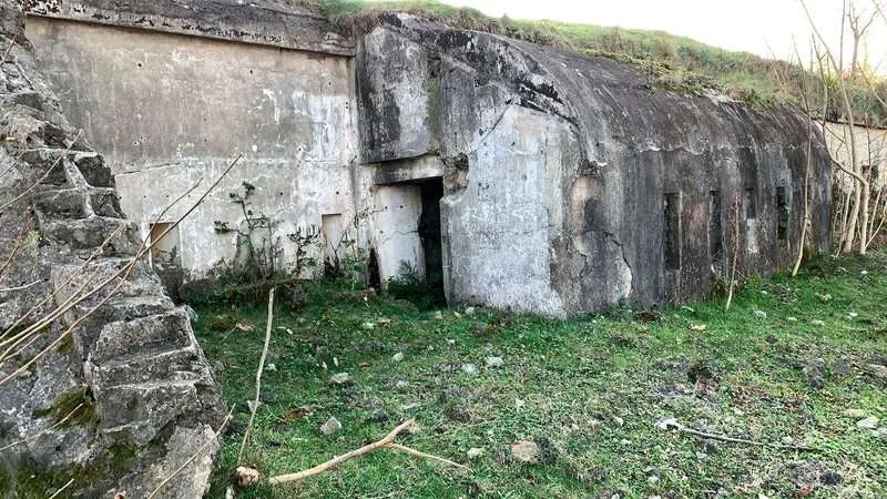
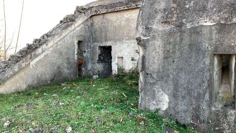
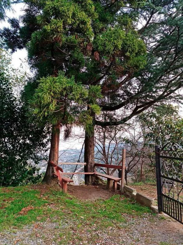
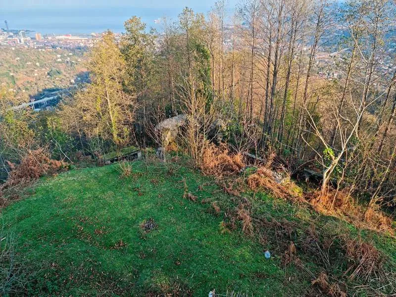
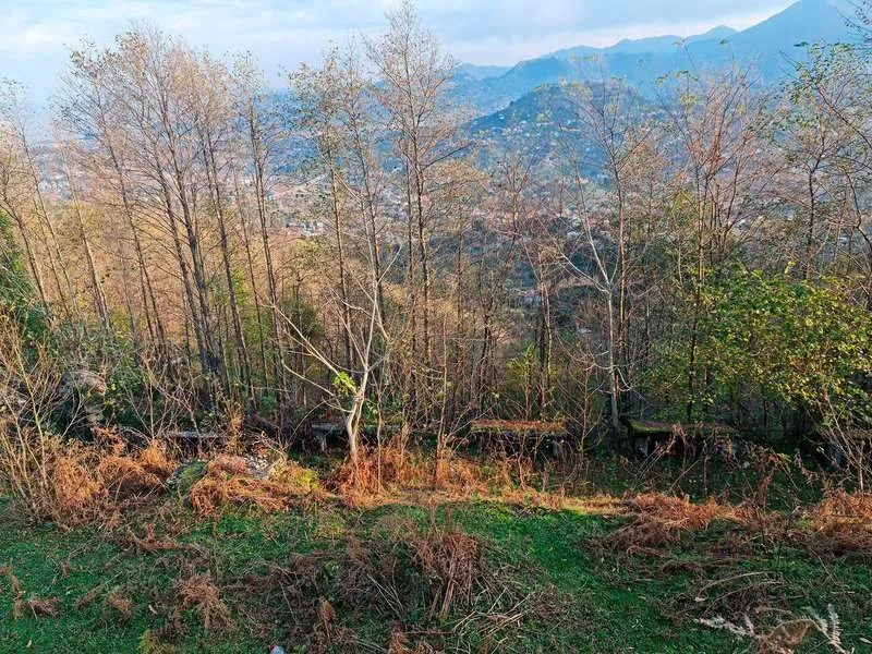
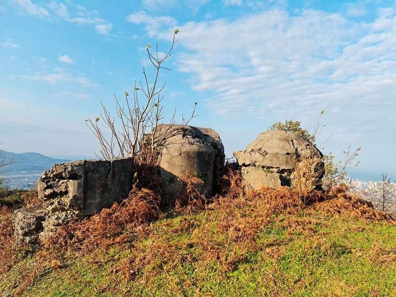
A clearing. Stone walls — some standing, some fallen. The scale makes it clear this wasn't just a watchtower. There were serious fortifications here. Below the central part of the clearing, a passage leads underground. You can go in. It's unexpectedly deep and dark.
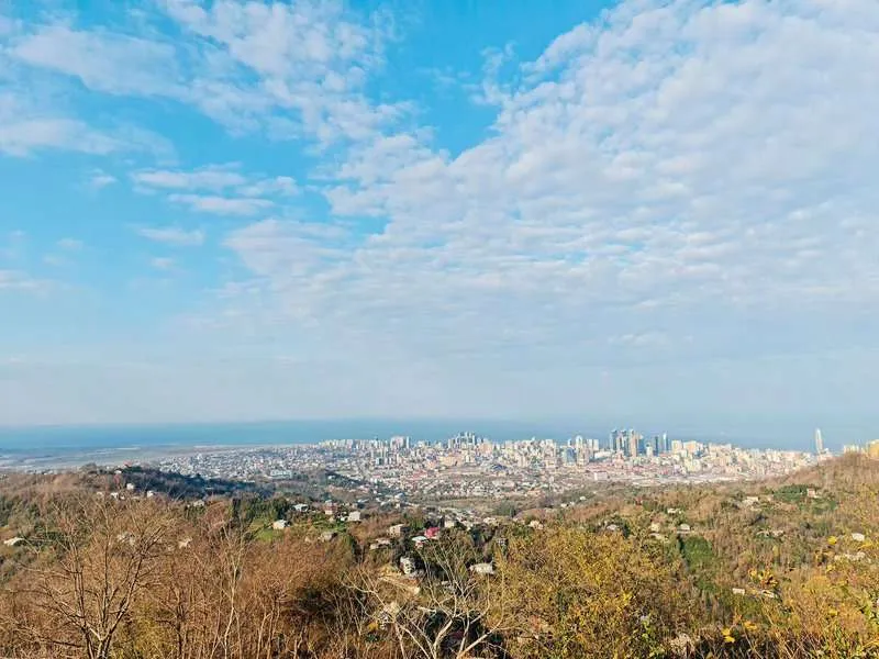
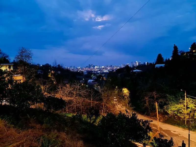
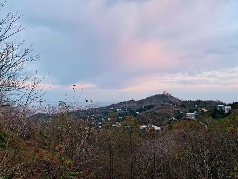
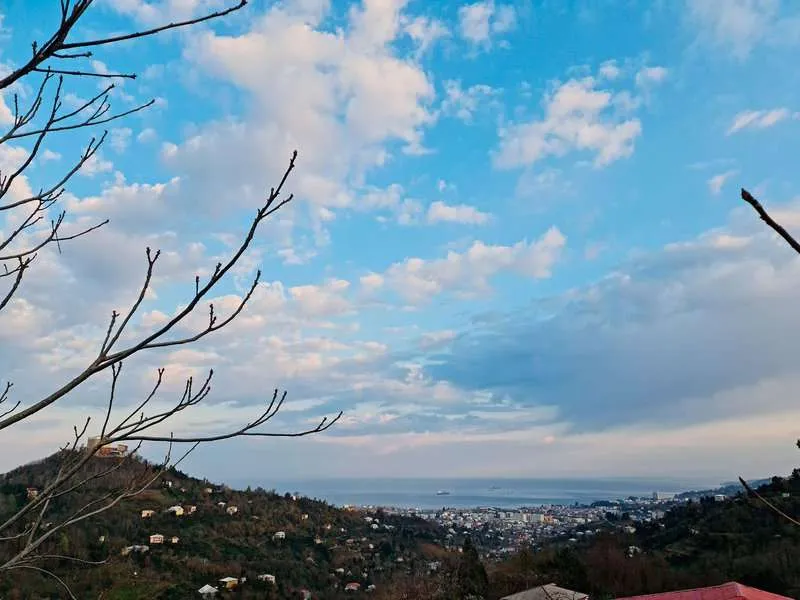
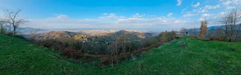
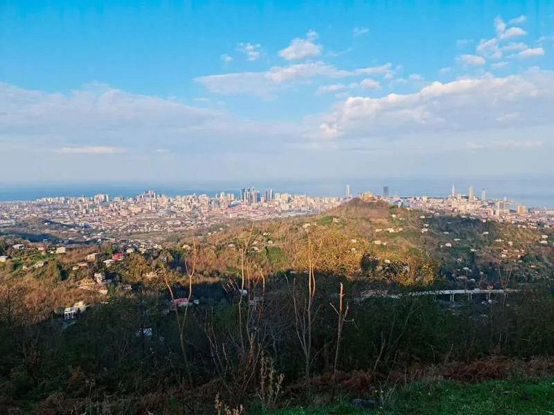
The view. Batumi laid out completely: port, seafront, tower blocks, sea. On a clear day the coastline runs far in both directions. There's something strange about standing above the city — it looks compact and readable from here, almost small. Down in Batumi, the city feels large. From up here, it doesn't. 🏔
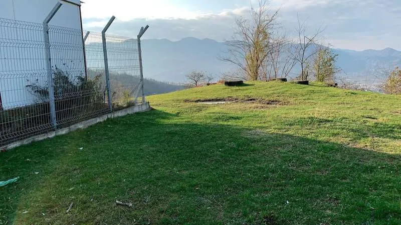
The clearing is wide enough for a picnic. Cyclists and motorcyclists sometimes appear. Local youth pick this spot at sunset, and looking out at it, you understand why.
If you're planning things to do in Batumi across multiple days and want something away from the seafront, Fort Anaria is the answer.
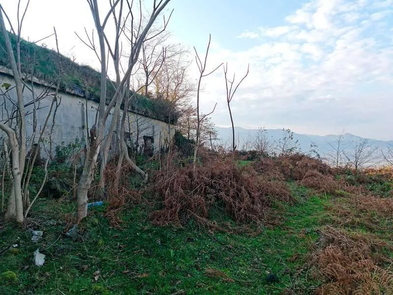
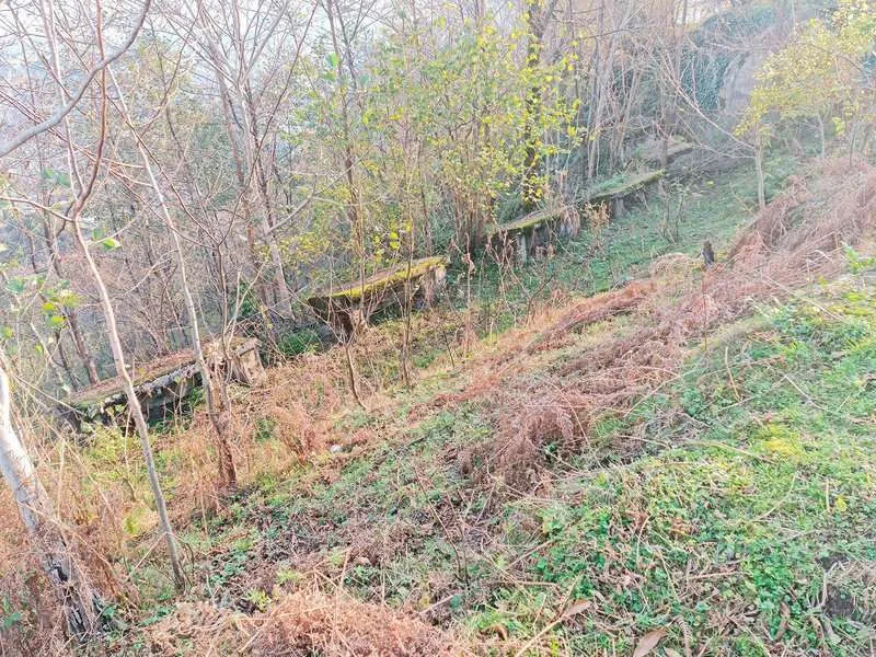
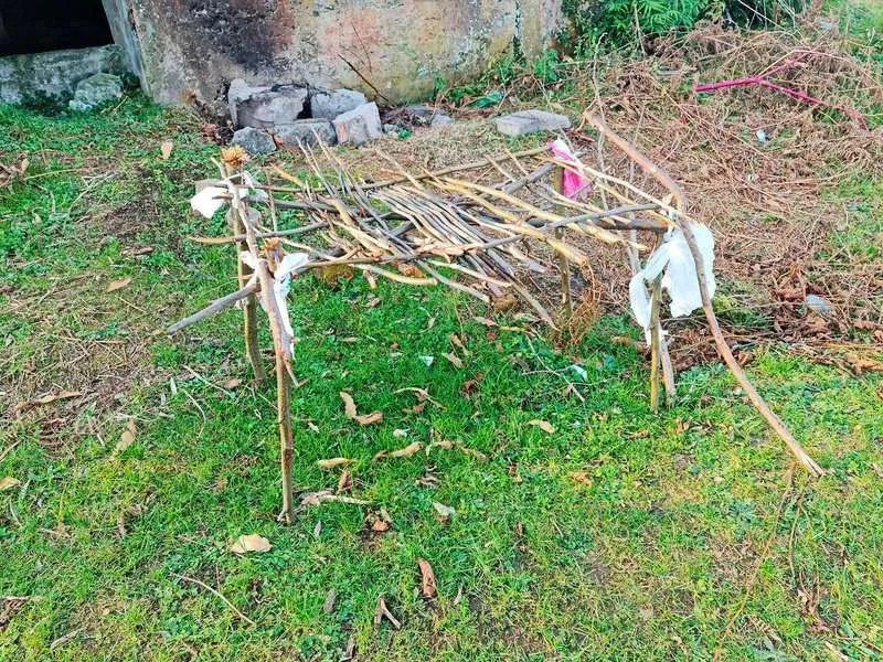
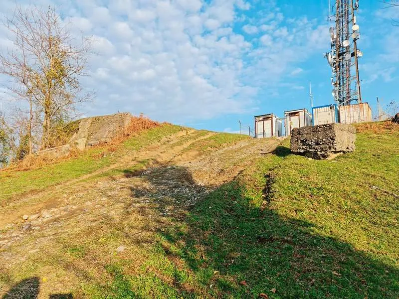
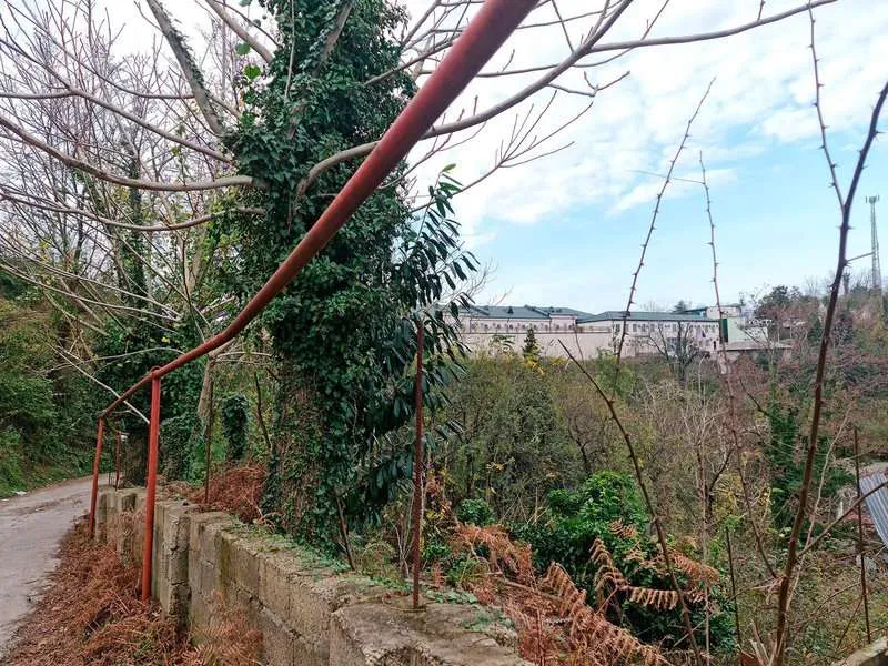
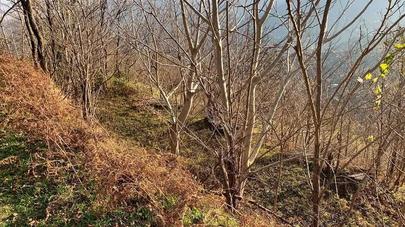
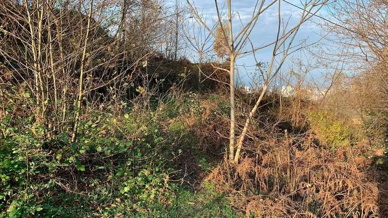
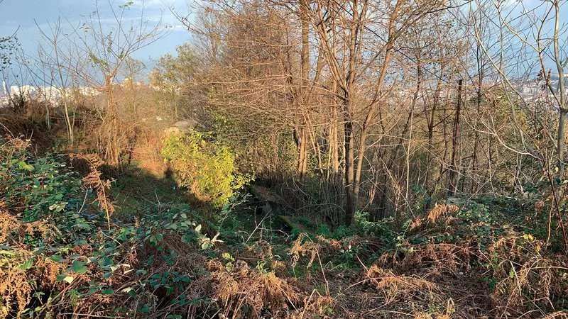
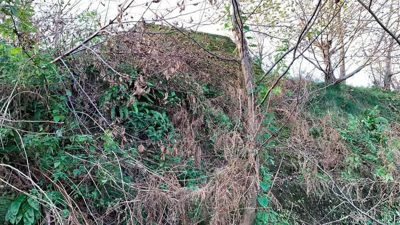
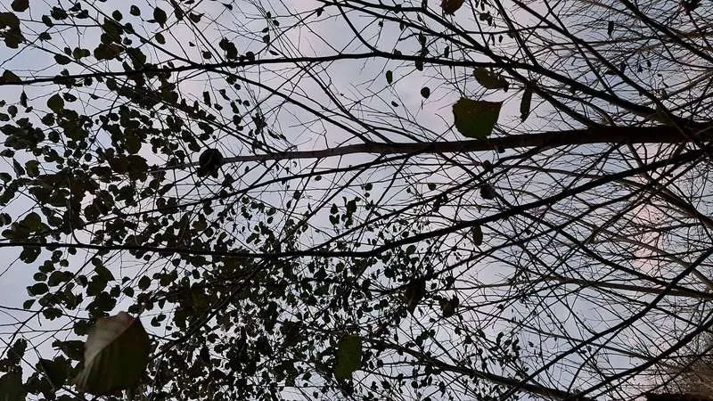
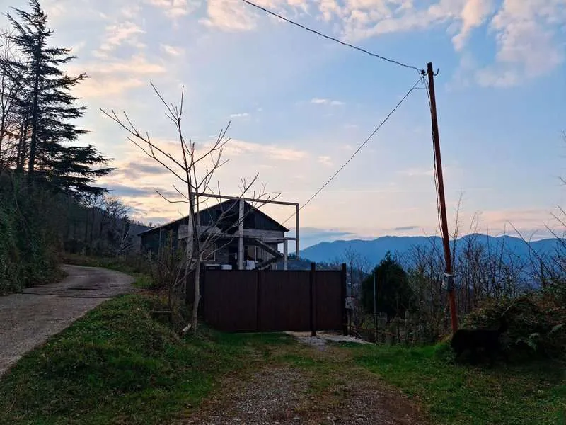
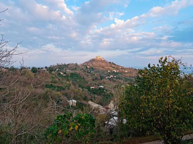
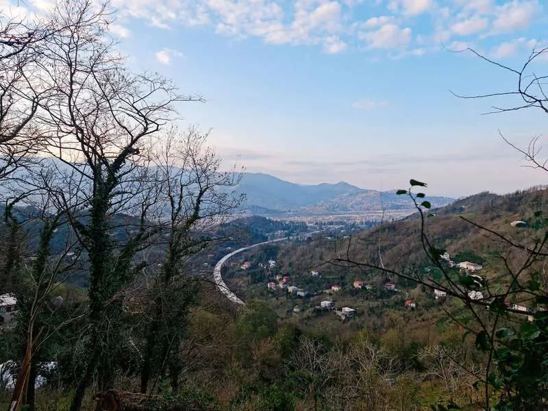
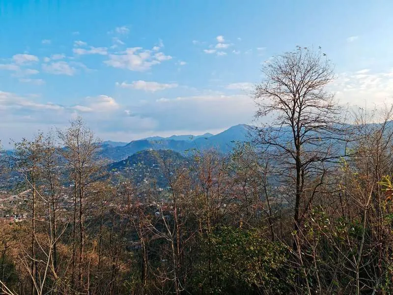
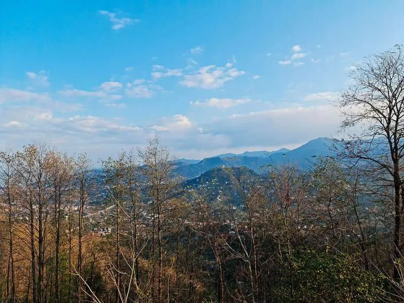
This is what it looks like in reality - a photo from the route
History: From Ottoman Battery to the 1901 Explosion
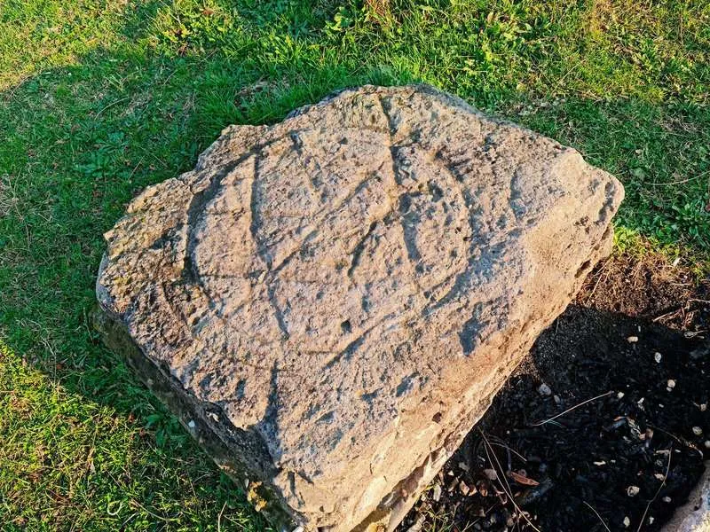
Fort Anaria was part of the Mikhailovsky Fortress — a defensive system the Russian Empire built after the Russo-Turkish War of 1877–78. Under the Treaty of San Stefano, Batumi passed to Russia. The port mattered: it gave access to the Black Sea. By 1887, a ring of coastal fortifications surrounded the city — 48 large-calibre guns, several forts. One of them was Anaria.
The fortifications were built on top of earlier Ottoman batteries. Back in 1868, the Ottoman government had constructed three coastal forts in Batumi — 80 guns total. Russia took that foundation and expanded it. In 1907, a kerosene pipeline running from Baku to Batumi added another layer of military significance.
On 12 July 1901, a mine depot exploded at the Burun-Tabie battery. Someone had stored naval mines directly on a coastal battery. The newspaper Chernomorsky Vestnik reported dozens of dead, collapsed buildings, destroyed batteries — the explosion was heard across the city. Parts of the fortifications were never rebuilt.
During the First World War the fortress saw almost no action. Its one combat moment: December 1914, when a battery exchanged fire with the German cruiser SMS Goeben. In April 1918, Turkish forces occupied Batumi. The headquarters were disbanded in May. That was the end.
Today the site has no protected status and almost no signage. Free entry. That's exactly why it looks like actual ruins — not a restoration built for visitors, but what survived on its own.
What's Nearby: Argo Mountain and Planning the Day
From Fort Anaria the trail can continue toward Argo Mountain — the two areas are connected. If you want both in one day, start no later than 08:00 and bring extra water.
The Argo cable car makes the planning flexible. One workable option: hike up via Anaria, take the cable car back down. Practical when energy runs low by afternoon, especially with kids.
Those who want to explore Batumi's attractions beyond the tourist centre will find Fort Anaria a good starting point for the highland side of Adjara. From up here it becomes immediately apparent: the mountain region and the beach resort are not just different places. They operate by different logic, despite being 10 kilometres apart.
Back in Batumi
From the descent back to the city centre: 30–40 minutes on foot or a short marshrutka ride. The seafront, Piazza Square, the old town — all nearby. After five hours of mountain air, khinkali at the nearest restaurant tastes noticeably different.
For those interested in Adjara's outdoor activities beyond this route — the mountain interior, gorges and traditional villages — that's a different scale and a different article.
If you've hiked Anaria, leave a comment: what time of year, with or without children, how long the ascent took. It genuinely helps the next readers decide.
FAQ
Around 1.5–2 hours of steady walking from the trailhead. With children or frequent photo stops, allow 2–2.5 hours. Total round trip including time at the fort is approximately 5 hours. On the route video, the fort appears at around 1 hour 40 minutes of walking.
Bus 15 runs to the "700-Zedagele" stop — roughly the midpoint. Around 8 km of walking remains from there to the fort. It cuts the total walk nearly in half. Check the timetable at the stop or in the Batumi city transport app.
Yes. 90% is paved road, the incline is gentle, no technical sections. Readers have confirmed taking children on this trail. The one thing that matters: tell them in advance it's a five-hour outing, not a short walk.
Yes, no restrictions. Village dogs appear along the route — bringing treats helps. The paved surface and steady pace make the trail comfortable for dogs.
No. No shops or water sources on the trail — bring everything from Batumi. At least 1.5 litres per person; more in summer.
Yes, it's fully self-guided. The paved road is clearly visible throughout. GPS: 41.615021, 41.669002. Download an offline map in Maps.me or OsmAnd before setting out.
Generally yes — the surface allows it. Local cyclists and motorcyclists use this road. A mountain bike is more comfortable than a road bike.
Stone walls and fragments of the fortifications. Below the summit clearing, an underground chamber can be entered. No restoration has been carried out. Free entry.

2 comments
Log in to leave a comment