


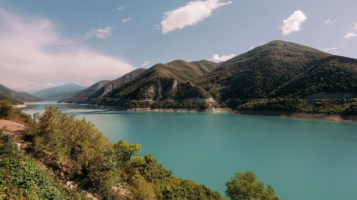
Zhinvali Reservoir

Discover the picturesque Zhinvali Reservoir in Ananuri - an ideal place for relaxation and adventure in the picturesque…


The distance from Ananuri to Batumi is 262 kilometers in a straight line, 367.6 kilometers along the pedestrian route, 370.8 kilometers along the highway.
The distance from Ananuri to Tbilisi is 53 kilometers in a straight line, 77.8 kilometers along the pedestrian route, 63.6 kilometers along the highway.
The village of Ananuri is located in Georgia, in the Dusheti municipality, Mtskheta-Mtianeti region. It is located in the northern part of the region, 9 kilometers in a straight line north of the center of the Dusheti municipality. The height of the village center is 900 meters above sea level.
Select which categories you want to allow. You can change this later.


