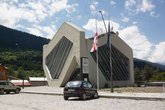
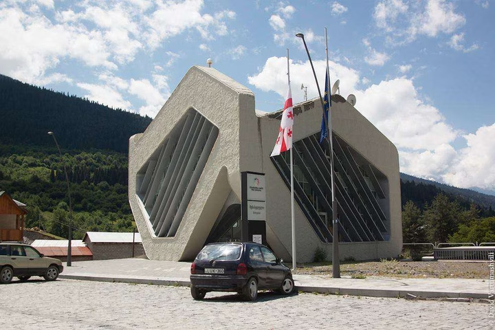
Public Service Hall in Mestia
The House of Justice in Mestia is a center where all government services are available under one roof. Our goal is to s…


The distance from Mestia to Batumi is 177 kilometers in a straight line, 259.8 kilometers on foot, 262.1 kilometers by road.
The distance from Mestia to Tbilisi is 229 kilometers in a straight line, 464.4 kilometers on foot, and 450.3 kilometers by road.
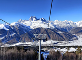
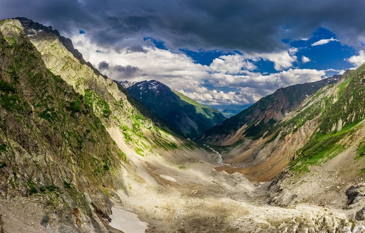
Mestia is located in Upper Svaneti, in the Samegrelo-Zemo Svaneti region of Georgia. It lies on the southern slope of the Greater Caucasus, 128 km northeast of the city of Zugdidi. Its elevation is approximately 1,500 meters above sea level.