


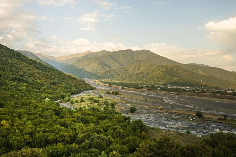
Alazani Floodplain
The Alazani River, which is 407 km long, is considered the longest river in Georgia. The Kura as a whole significantly exceeds Alazani in length, but the part of the Kura that flows through Georgia is inferior to Alazani. Alazani is also distinguished by the fact that its lower reaches are excessively tortuous and often change their course. There are many lakes in the winding sections. Scientists call it the remains of lakes, and locals – "Naalaznari" (past Alazani).
The Alazani Floodplain (Walnut Bay) is a natural monument located in the Alazani Valley and is a bay jutting into the Alazani River. The floodplain has the shape of a peninsula. The width of the bay lip does not exceed 30-40 m, and the total area is more than 204.4 hectares. The peculiarity of this territory is that the Alazani floodplain has no analogues in its flora and fauna among other forests: only here, in Georgia, floodplain forests with climbing plants in which wild walnut grows have been preserved (the name Walnut Bay is connected with this). The natural monument "Alazani floodplain" was founded in 2003.
From the Alazani floodplain, the road passes through the highlands, where in April the slopes are covered with field peonies, then leads to the villages – Kvemo Kedi, Archiloskalo and Zemo Kedi, crosses the Shirak field and returns to Dedoplistskaro.


0 comments
Log in to leave a comment