Low mountains that can be climbed in Georgia. Mt. Mtirala.
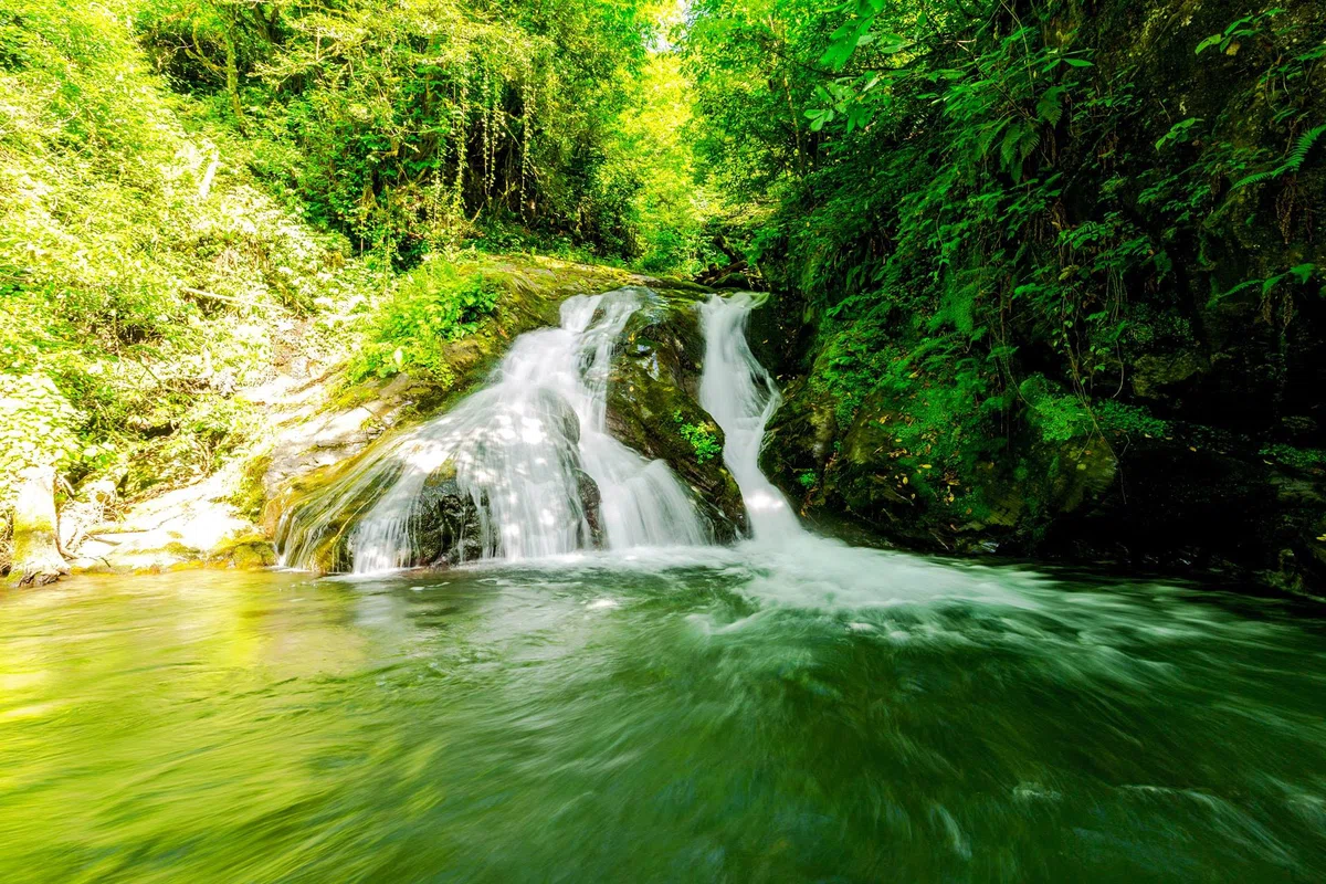
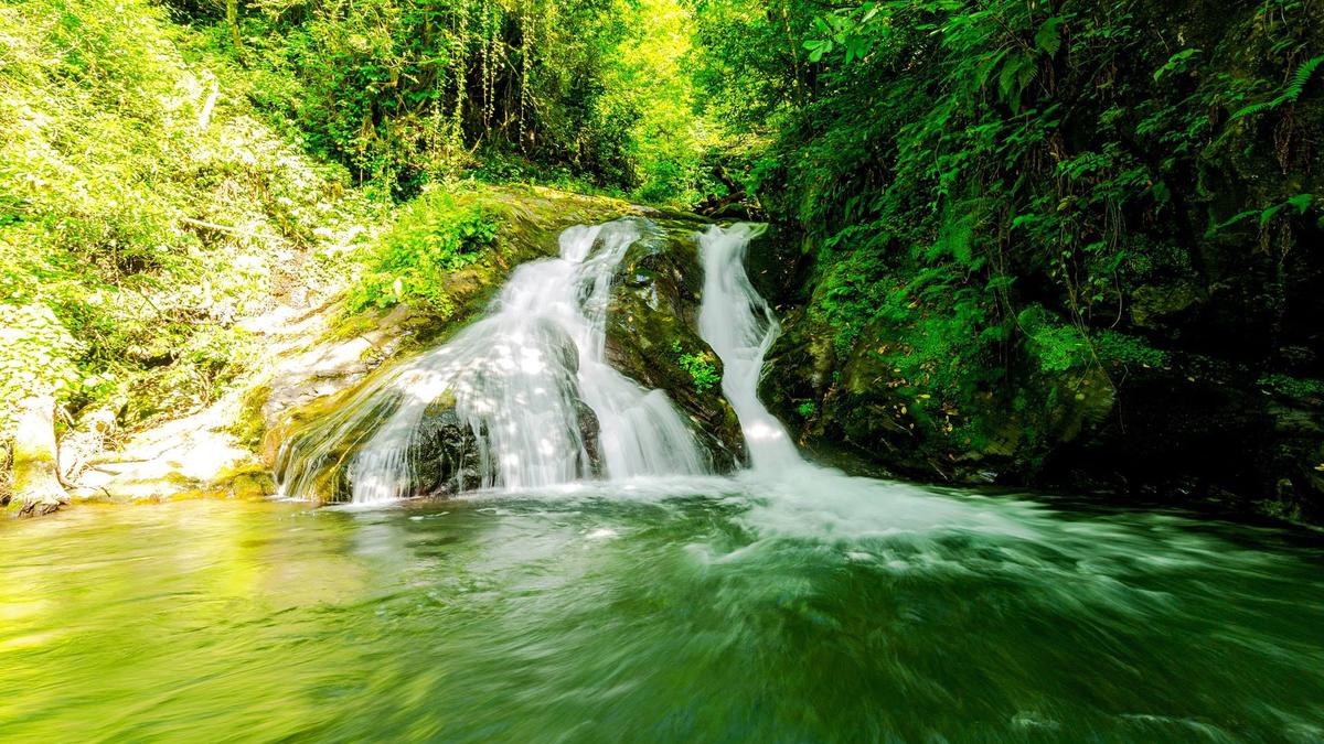
Mount Mtirala is not the largest in Georgia, its height is 1381 meters. The mountain and the surroundings of this place are shrouded in fog constantly due to constant high humidity. The mountain is a haven for the life of many rare species of animals and plants. On the territory of the Mtirala Park there is a twelve-meter waterfall.
Mountain Mtirala, the height of which reaches 1381 m above sea level, is the place where the most precipitation falls in Georgia. This is why its name is connected – "mtirala" means "crying". The mountain and its surroundings remain a real refuge for many species of Colchian endemic and relict plants and animals that are on the verge of extinction. It was with the aim of preserving rare biovids that the Mtirala National Park was created on this territory in 2006.
Another function is assigned to the Mtirala National Park – the park will contribute to maintaining the balance of natural ecosystems, which will allow to suspend erosion and landslide phenomena and avoid floods.
The nature protection area is divided into three zones: the zone of strict protection is covered with untouched forests of Colchian trees, any human intervention is prohibited here (except for scientific observations). In the visitors' zone, tourists can walk along the path, light a fire in designated places, pitch tents and arrange picnics, walk in the wild; in the third zone, the traditional use zone, 12 families live.
There is a waterfall on the territory of the Mtirala National Park, whose height is 12 meters. One kilometer from the waterfall, a river flows between the rocks, which after a short distance turns into a lake with clear water. Trout are found in large numbers in the lake.

Location:
Kobulet municipality, Adjara-Imereti ridge, the watershed line of the Chakvistskali and Korolistskali rivers.

Coordinates:
№ 41⸰50'24''; Е 42⸰39'43''.

How to get:
The route through the Mtirala National Park begins in the village of Chakvi; an asphalt road leads to the village of Hala of the Kobulet municipality, then a rocky road stretches to the village of Chakvistavi. The distance from Chakvi to the administration of the National Park is 15 km. The distance from Tbilisi is 355 km, from Kobuleti – 25 km, from Batumi – 22 km.
How do I get to the start of the hiking trails on Mt. Mtirala?
There are several entrances to Mtirala National Park. The closest to Batumi are two:
- Entrance 1. From the side of Chakvi\Khala (official).
- Entrance 2. From the side of Ortabatumi.
From the bus station there is a shuttle bus from 9:40 to Mtirala (Entrance 1), on Mon and Fri it goes to the beginning of the trail, on other days to Khala (but you can negotiate with the driver). Fare is 5 GEL to Mtirala (Entrance 1). Back the last shuttle bus at 16:30-17:00.
From Tsereteli street (next to Tbilisi square) there is a city bus without number, as well as route 141 (once in 2 hours, the first about 9 o'clock from Hopa market, and back about 18 o'clock. Also suitable route 36/10, to Korolistavi.


36 comments
Log in to leave a comment
Интересно, сложно ли подняться на гору и как лучше спланировать маршрут, чтобы успеть всё посмотреть?
✅ Положительный момент статьи: Положительные моменты статьи о Горе Мтирала:
1. Уникальность местности: Гора Мтирала является пристанищем для многих редких видов животных и растений. Национальный парк Мтирала создан с целью сохранения редких биовидов.
2. Сохранение природных экосистем: Национальный парк Мтирала способствует сохранению равновесия природных экосистем, что позволяет приостановить эрозионно-оползневые явления и избежать паводков.
3. Разделение территории на зоны: на территории парка есть зона строгой охраны, зона посетителей и зона традиционного пользования. Это позволяет сохранить природные ресурсы и одновременно дать возможность туристам насладиться дикой природой.
4. Водопад и озеро: на территории Национального парка Мтирала находится водопад высотой 12 метров и озеро с прозрачной вод, в котором водится форель. Это привлекает туристов и дает дополнительную экономическую выгоду для района.
5. Локация: Гора Мтирала находится в Кулетском муниципалитете, что может привлечь туристов и создать дополнительные возможности для развития инфраструктуры и экономики региона.
✅ Отрицательный момент статьи: Отрицательным моментом статьи может быть то, что на территории Национального парка Мтирала разрешено проводить туристические мероприятия, что может привести к нарушению природных экосистем и угрозе существования редких видов животных и растений. Также, наличие асфальтированной дороги и возможность проведения туристических мероприятий может привести к увеличению транспортного потока и загрязнению окружающей среды.
Несмотря на положительные и отрицательные моменты статьи, я благодарю автора на каталоге Мадлоба за интересную и полезную статью!!