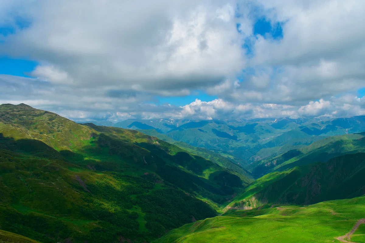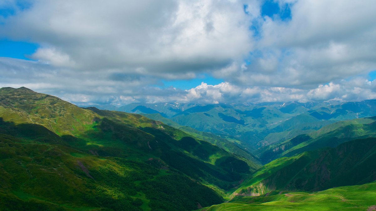
A four-day route of average difficulty through the most beautiful places of Georgia in the summer.
Getting acquainted with the most beautiful places of Georgia on the Datvijvari - Tbatana route will help restore mental balance and get a lot of positive emotions
The route is of medium complexity, it can hardly be called a simple walk, but during these four days you will be able to explore the most beautiful places of Georgia. This statement concerns primarily nature. High–altitude clean air and places where you can do meditation and contemplation, restore your psycho–emotional state and find peace of mind - all this is on the Datvijvari - Tbatan trekking route. Its length is 55-60 km .
Day 1
On the first day, we will have wonderful views of the natural panoramas of the Caucasus, pleasant fatigue and a heavenly place to relax by a mountain lake at an altitude of 2650 m above sea level, which you can only dream of. We will start turning dreams into reality in the early morning when we move east along the ridge that separates Migma Heavi and Ukana Pshhavi.
If we are lucky with the weather, then an unforgettable view awaits us on the way – Mount Chauhi. It is considered one of the most beautiful places in Georgia. The lake, which was discussed at the very beginning, will open in front of us, after about 17-18 km of the way. Here we will organize a halt. The water in the lake is constantly being updated, so it is suitable for drinking and cooking.
Day 2
Well, we were greeted by a beautiful morning, our first goal for today is to climb the Borbalo pass, and the final one is Rkinis Gza. Do not forget to stock up on water, because during the next day there may be some problems with it. There are not so many sources of drinking water on the way ahead... In a couple of hours we will reach the pass and, if we are lucky with the weather, a wonderful panorama will open before us – the source of the Alazani River.
After crossing the Sakorn Pass, we will find ourselves in the gorge through which the river flows. We will arrange a halt by climbing a mountain whose height above sea level is 2900 m. Those who are planning to go to the mountains for the first time should find out how you carry the height, because 2900 m above sea level is a pretty serious figure.
Day 3
Our current goal is Tbatana. And along the way we will see the birth of the Iori and Alazani rivers. Perhaps we will meet locals herding flocks of sheep. Important! If the dog accompanying the flock is approaching you, you should not try to run away from it or wave your arms. It is worth noting that the weather in these places is not always good. Just in case, it would be good to have a GPS with you, it will be more reliable with it.
Day 4
Today is the final part of our journey. The length of the final segment of the route will be about 12 km and is a descent to the highway, into the Pankisi Gorge. In late summer and early autumn, blackberries grow in these places. We have completed the track route, further leisure planning depends on your desires and goals.


31 comments
Log in to leave a comment