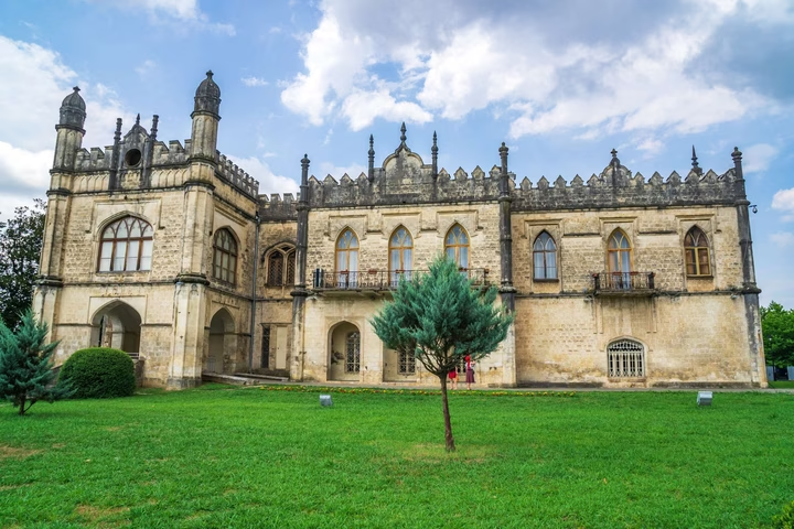
Dadiani State Historical and Architectural Museum
The Palace of the Princes Dadiani, which served as the main residence of the rulers of Megrelia, is of particular value…


The distance from Zugdidi to Batumi is 98.0 kilometers in a straight line, 125.0 kilometers along the pedestrian route, 126.2 kilometers along the highway.
The distance from Zugdidi to Tbilisi is 259.0 kilometers in a straight line, 351.2 kilometers along the pedestrian route, 321.1 kilometers along the highway.
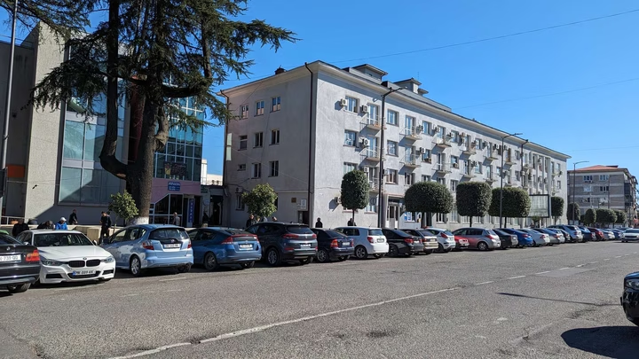
Zugdidi is located in western Georgia. It is the administrative center of the Samegrelo-Upper Svaneti region and the Zugdidi municipality. The city is located in the Colchis lowland, 30 km from the Black Sea coast, on the Black Sea highway and the road leading to Svaneti (to the village of Mestia). The distance from Zugdidi to Tbilisi by rail is 320 km. The city is located at an altitude of 110 m above sea level.