
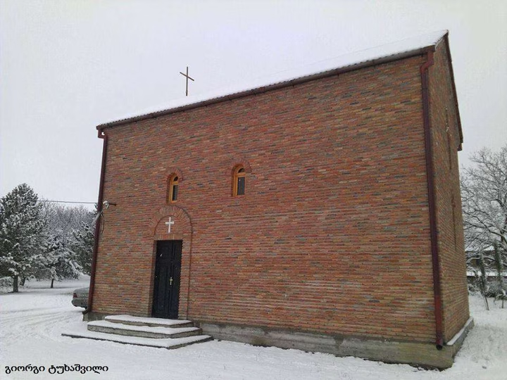
Church of St. Nicholas in the village of Sartichala
Find out more about the Church of St. Nicholas in the village of Sartichala, Muganlo - a historical and cultural herita…


The distance from Muganlo (Iormuganlo) to Batumi is 323 kilometers in a straight line, 454.8 kilometers along the pedestrian route, 437.3 kilometers along the highway.
The distance from Muganlo (Iormuganlo) to Tbilisi is 62 kilometers in a straight line, 78.5 kilometers along the pedestrian route, 80.9 kilometers along the highway.
Muganlo is located in the Sagarejoy municipality of Kvemo Kartli, Georgia. Previously called Iormuganlo until 2014.