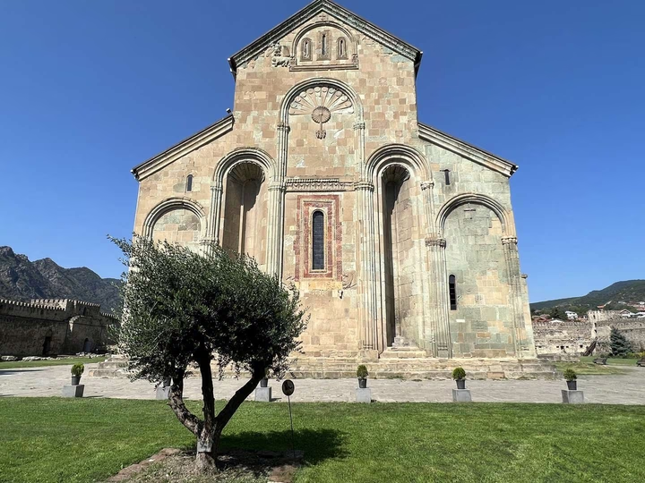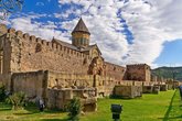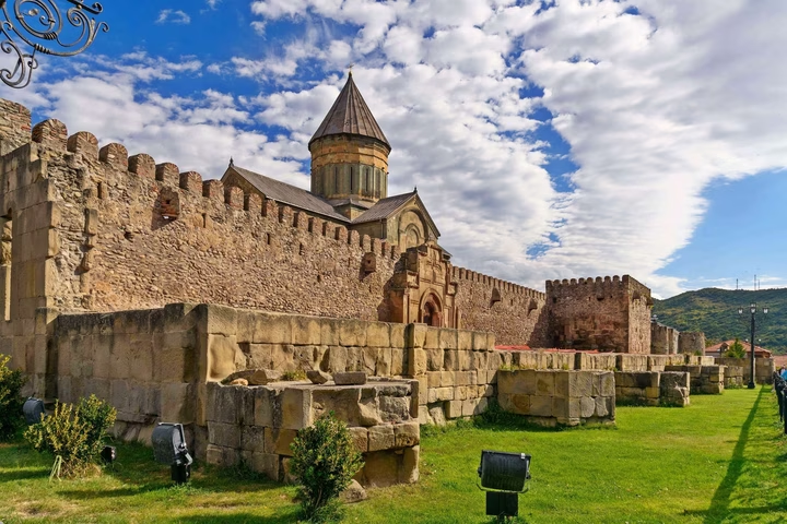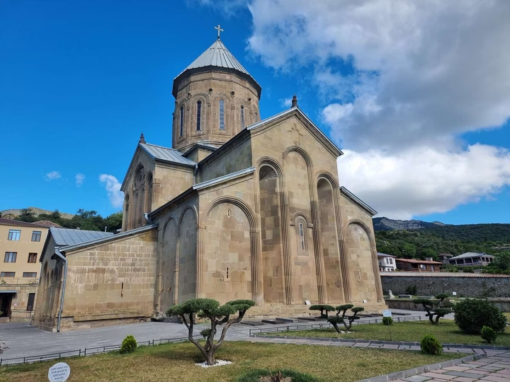
Samtavro Monastery
Visit Samtavro Monastery, where history and faith intertwine in the heart of Mtskheta-Mtianeti, Georgia. Find out more …


The distance from Mtskheta to Batumi is 254 kilometers in a straight line, 335.5 kilometers along the pedestrian route, 340.2 kilometers along the highway.
The distance from Mtskheta to Tbilisi is 18 kilometers in a straight line, 69.3 kilometers along the pedestrian route, 23.5 kilometers along the highway.
Mtskheta is located in Georgia, a few kilometers north of Tbilisi. It is located at the confluence of the Aragvi and Kura rivers. Mtskheta is one of the oldest cities in Georgia, founded in the 5th century BC. It is the administrative center of the Mtskheta-Mtianeti region.