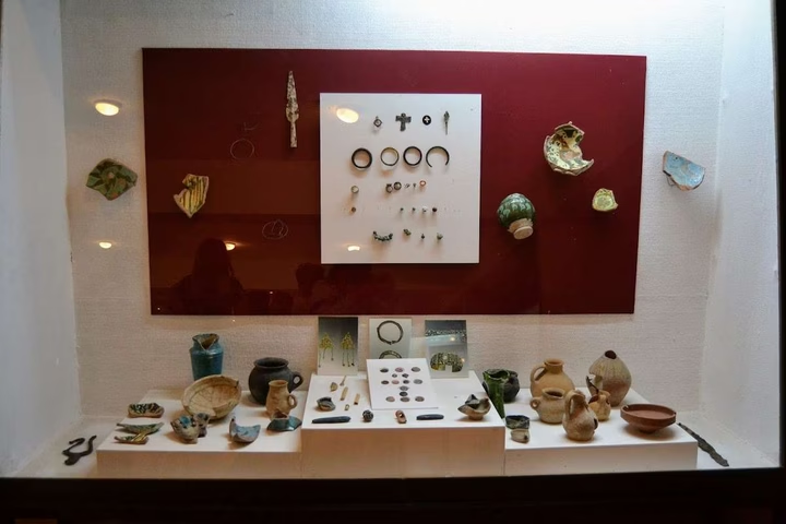
Cultural Center Museum Dmanisi
Dig deeper into the history of Dmanisi! From the early Paleolithic to the Bronze Age, the museum's halls are full of am…


The distance from Dmanisi to Batumi is 217.0 kilometers in a straight line, 349.1 kilometers along the pedestrian route, 459.4 kilometers along the highway.
The distance from Dmanisi to Tbilisi is 64.0 kilometers in a straight line, 93.9 kilometers along the pedestrian route, 101.5 kilometers along the highway.
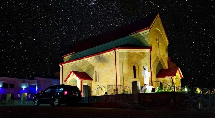
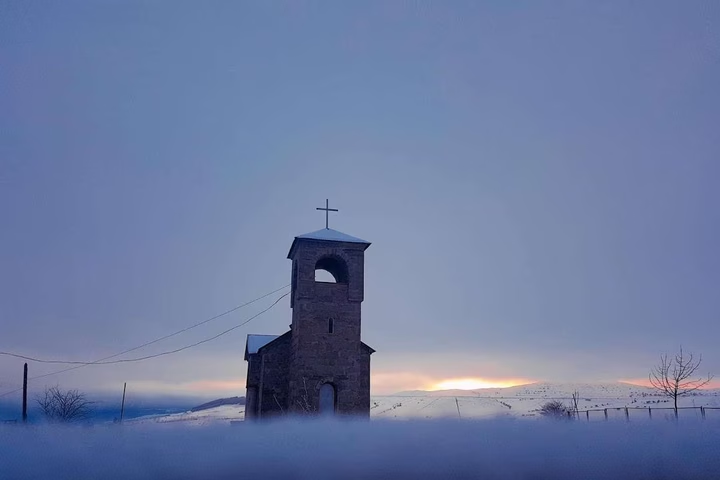
Dmanisi is located in Georgia. The city is located on the Mashavera River, 30 km southwest of the Kazreti railway station and about 3 km from the village of Kvemo-Orozmani. Since 1981, it has become one of the regional centers of Kvemo Kartli - the center of the Dmanisi municipality.