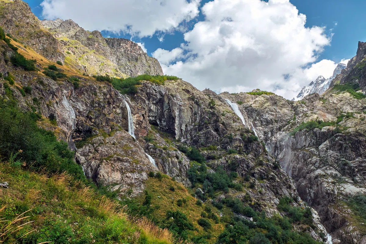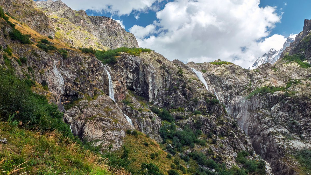
Great Waterfalls of Georgia. Ushba Waterfall.
The Ushba waterfall is notable because this waterfall is the most water-abundant. The height of one of the powerful waterfalls is 35 meters, and the water flow is very powerful. The waterfall originates from a river flowing out of a glacier. There are beautiful landscapes around the waterfall, which is definitely recommended to see with your own eyes.
The Ushba waterfall (or Shdugra) is formed by the fall of a river flowing from a glacier that is located on the slope of Ushba.
The waterfall arose hundreds of years ago as a result of the melting of the Ushba glacier. When the glacier retreated, four waterfalls were formed on the rocky cliff, the so-called plateau of waterfalls. Three of them are relatively small and the fourth, located in the south, is powerful: a powerful stream of water falls from a height of 35 meters with a deafening roar. The stream flowing out of Ushba waterfall on the left side merges with Dolra river.
There are many peaks in Svaneti Kavkasioni, which are covered with snow all the year round. Among them are three peaks: Shkhara (the highest peak in Georgia, 5203 m above sea level), Tetnuldi (4858 m above sea level) and Ushba.
The double-headed Ushba (4,700m on the south and 1,690m on the north) is not the highest among the named peaks, but it was given the highest category of complexity.
For the first time the northern peak was conquered by the British in 1888 after 20 failed attempts to climb it. And the southern peak in 1903 was held a joint expedition of German, Swiss and Austrian climbers. Until 1934, 60 times tried to climb Ushba, but only four attempts succeeded. In 1934, the first Georgian team climbed Ushba consisting of brother and sister Alexandra and Alyosha Japaridze, Gio Niguriani and Jagor Kazalikashvili.

Location:
Mesti municipality, southern slope of the Svan section of the Main Caucasus Range, territory adjacent to the Becho community; altitude - 2,200 m above sea level.

Coordinates:
№ 43⸰07'47''; Е 42⸰36'002''.

How to get there:
Near the village Dolraspīpi, a road branches off from the highway Zugdidi - Mestia. From here the rocky road goes through the valley of the river Dolra to Shikhra, where there is a bridge across the river, which must be crossed. Behind the bridge begins a hiking route to the waterfall. The distance from the village of Mazeri to the waterfall is 7 km, and from the waterfall to the Ushba Glacier there is a 2 km path along a steep slope. The distance from Tbilisi is 490 km, from Zugdidi - 140 km, from the village of Mestia - 30 km.


34 comments
Log in to leave a comment
У меня единственная претензия к статье,что мало рассказали про водопады, больше про горы.
Хочу узнать, как там организованы экскурсии и безопасно ли посещение водопадов для туристов? Про купание можно не спрашивать, думаю, что никто не рискнёт.
✅ Положительный момент статьи: Положительным моментом статьи является то, что она предоставляет информацию о прекрасном природном объекте - водопаде Ушба, расположенном на южном склоне сванского участка Главного Кавказского хребта. В статье описывается красота окружающей местности, водопада и его истории, а также приводятся координаты и информация о том, как добраться до него. Это может быть полезной информацией для людей, желающих посетить этот прекрасный уголок природы и насладиться его красотой.
✅ Отрицательный момент статьи: Отрицательным моментом статьи может быть отсутствие информации о том, как обеспечивается безопасность туристов во время посещения водопада и ледника Ушба. Также не указано, есть ли на маршруте какие-либо удобства для туристов, например, места для отдыха или туалеты. Кроме того, не упоминается о том, какие меры принимаются для сохранения природной красоты и экологической устойчивости этого региона.
Несмотря на положительные и отрицательные моменты статьи, я благодарю автора на каталоге Мадлоба за интересную и полезную статью!!
А описание самого водопада – это что-то невероятное! Такой самый водообильный водопад, высота одного из мощных водопадов – 35 метров, а поток воды очень мощный. Но это далеко не всё. Я узнала, что этот водопад возник сотни лет назад в результате таяния ледника Ушба. Какой же он значимый! Просто представьте: когда ледник отступил, на скалистом утёсе, так называемом плато водопадов, образовались 4 водоската. Фантастика! Я представляю, насколько трудно покорить вершину, но если появится возможность, я обязательно заберусь на самую вершину, чтобы увидеть все красоты Сванетского Кавкасиона!
Берет своё начало из ледников, и падает с сильной мощностью притока воды
с 35 метровой высоты. Пейзаж на фотографиях очень красивый,
с разнообразной растительностью.
Сотни лет назад от таяния ледника образовалась несколько рек с разными высотами
падения. Местность скалистая трудно проходимая. По этому туристы скалолазы
часто хотят преодолеть препятствия.