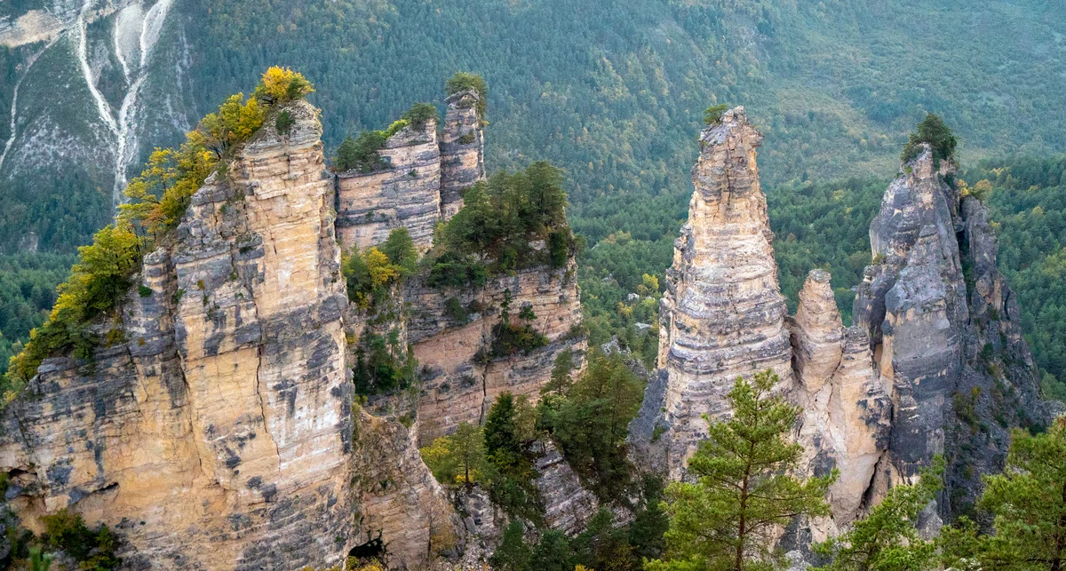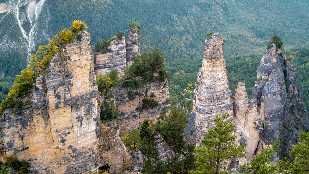
Rocky areas of Georgia. Natural attractions of the Sairme Rock.
Sairme Rocks are unusual pillars that certainly attract the attention of tourists, and they also serve as a place for rock climbing training. The rocks are definitely worth seeing live, because the view of them is beautiful. In addition to the rocks, there is also a variety of flora and fauna, among which there are rare species.
Lechkhumi It is an istrico-geographical region of western Georgia. This region is located south of the Caucasian Ridge, in the area of the junction of the Lechkhumi, Egrisi and Rachi ridges and covers the territory of the municipality of Tsageri. The name "Lechkhumi" is presumably derived from the Mengrelian word "chhomi" (fish).
The region is distinguished by a large number of historical and natural attractions. Among them are the Sairme Rocks.
At the village of Sairme, which is located between the villages of Chrebala and Alpana, on the right side of the Rioni River, several rocky massifs standing next to each other have acquired the shape of pyramids. Geologists call these massifs a block structural landslide. The rocks have tower-shaped and horn-shaped triangular shapes. Their relative height reaches several tens of meters.
According to geologist Alexander Dzhanelidze, these "ruin-like" rocks resemble Swiss aeizages. Everyone coming to Racha will pay attention to this natural monument. The rocks serve not only as a tourist attraction, but also as a training place for rock climbing.
If you drive through the desert from the Sairme pass, where the track bizarrely develops in ascents and descents, from the east side you can admire the fascinating view of Kvemo Racha. To the north of the desert, between the mountains, is the village of Sairme. Previously, there was a city here, which in ancient times fell to a depth of 200 meters. In the middle, along a line of 2 km, the ruins of the old city rise like mountains.
If you look from the tops of the Sairme rocks, then 3 km to the northeast you can see a medieval monument of Georgian architecture - the zalnaya church, which is located in the village of Labechina.

Location:
Tsager municipality (Alpani community); on the nearby territory of the village of Zeda Sairme, at an altitude of 900 m above sea level.

Coordinates:
N42 32'50"; E42 53'06".

How to get:
Distance from Tbilisi (via Ambrolauri) - 290 km, from Tsageri – 30 km, from Kutaisi – 47 km, from Ambrolauri - 30 km. A rocky road leading to landslide rocks separates from the Kutaisi – Alpana – Oni – Mamisoni highway near the village of Zeda Sairme. The distance from the fork is 1 km .


30 comments
Log in to leave a comment