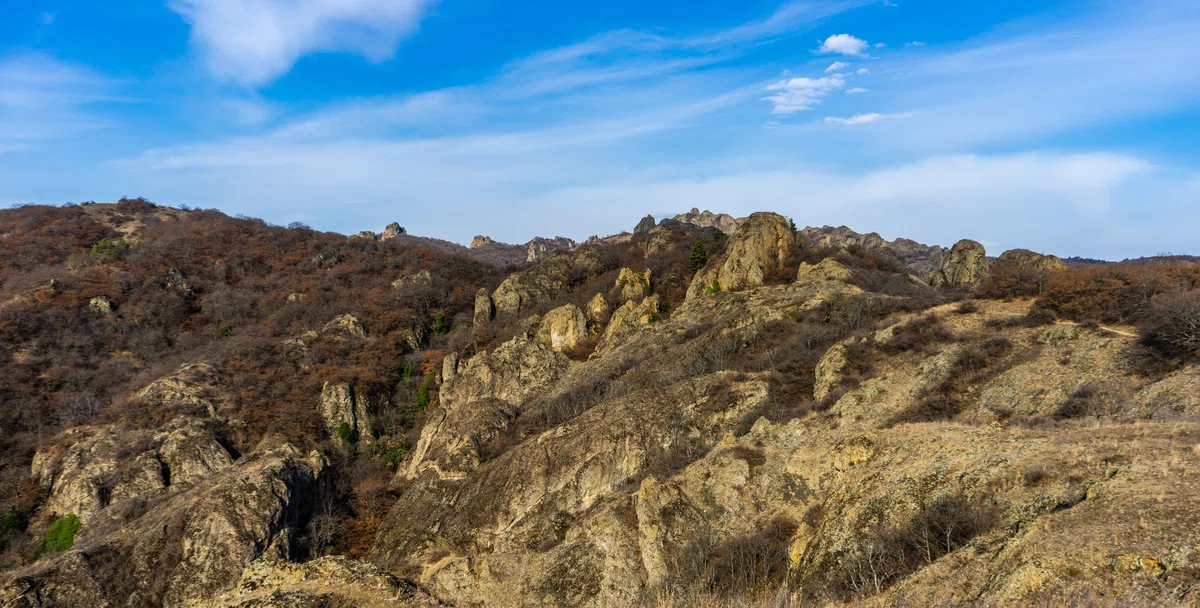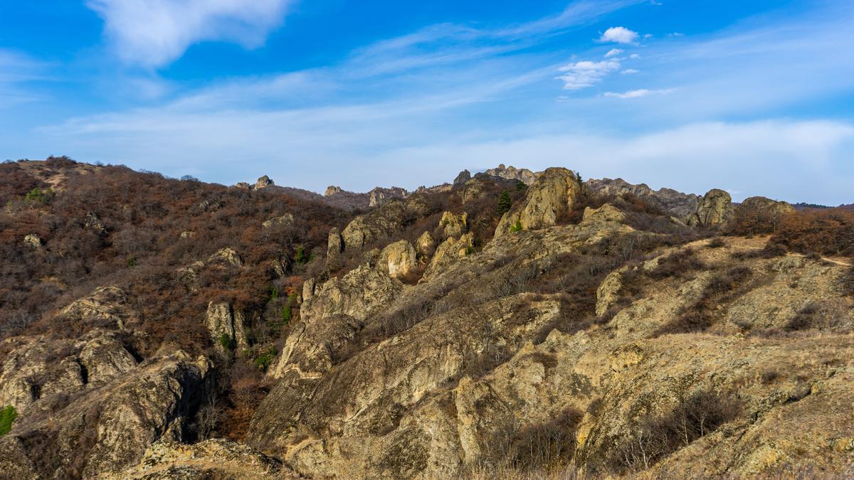
The most unusual stone natural sights of Georgia. The Rocks of Cheremi.
The rocks of Cheremi are quite unusual formations. They are pseudokarst vaults and arches. Looking at them, you get the impression of something unusual, something that nature could not create. Not far from the rocks begins Tbilisi Basin, the length of the basin is twenty-one meters, and the day level of the basin varies.
Near the village of Mukhatgverdi, the steep slopes of the eastern spur of the Trialet Range stretch along the Kura River, on which exposed sandstones are located in the form of steps. Atmospheric factors - precipitation, wind and frost, as well as constant temperature changes - have formed many unusual forms over time: there is a natural vault (locals call it a hanging vault), 3.2 m wide, and several dozen depressions of basins with a diameter of 0.5-1.5 m. Over a short distance in a dry gorge there is a "natural bridge" 3 m long.
Also of note is a boulder standing on two small rocks, under which temporary streams are flowing. There are other unusual formations, which are collectively called the Cliffs of Cheremi.
The name Cheremi is probably associated with the village of Cheremi. Which supposedly was located here in the past. Sometimes the name Cheremi, denoting a geographical object located near Tbilisi, is confused with the historical town of Cheremi, which is located in Kakheti, in the Gurjaani municipality.
Not far from Cheremi rocks in the valley of the river Kura, where Mukhadverd Uzina (Zemo Avchala) ends, Tbilisi hollow begins, which extends to the end of the Trealeti range (Fonichala), its length is 21 km, width - 7 km, level of the hollow floor changes within 350-450 m. The slopes in some places reach 1500 m.

Location:
The extreme northeastern periphery of Tbilisi, the border of the Mukhatgverdi village of the Mtskheta municipality; at 550-600 m above sea level.

Coordinates:
N41 48'57''; Е44 44'44''

How to get there:
From the Georgian Military Road there is a sloping path that leads to the monastery of Holy Cross, which is located on the top of a cliff. The length of the path from the highway - 600 m, the distance from Mtskheta - 12 km.


38 comments
Log in to leave a comment
✅ Положительный момент статьи: Положительным моментом статьи является подробное описание природных образований в районе Скал Череми, а также информация о местонахождении и координатах. Также статья содержит информацию о том, как добраться до Крещенского монастыря, находящегося на вершине скалы. Это может быть полезно для туристов и людей, интересующихся историей и природой Грузии.
✅ Отрицательный момент статьи: К сожалению, в статье отсутствует информация о том, каким образом можно добраться к месту, где находятся необычные образования Скалы Череми, кроме как к монастырю на вершине скалы. Также не указано, какие условия для посещения этого места, например, есть ли там какие-то ограничения или запреты на доступ.
Несмотря на положительные и отрицательные моменты статьи, я благодарю автора на каталоге Мадлоба за интересную и полезную статью!!
чудливые формы?Интересно всё это и остаётся много вопросов.Хотелось бы увидеть как происходило образование природного моста или как
так получилось, что валун встал на два небольших камня.Чудес в природе много и хочется разгадать процесс этих необычных образований.