Rocky canopies. Interesting natural places of Georgia. The rocky canopy of Bodorn.
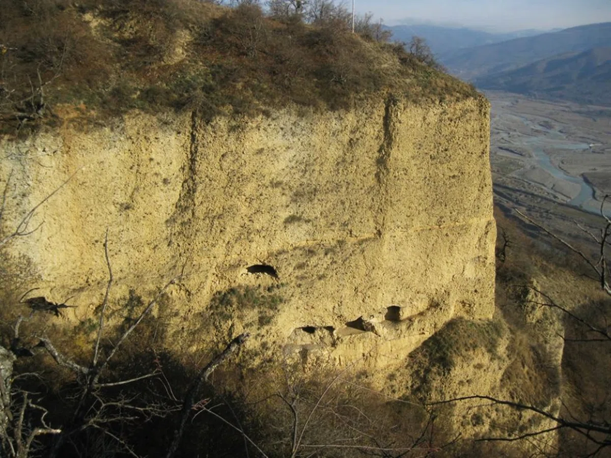
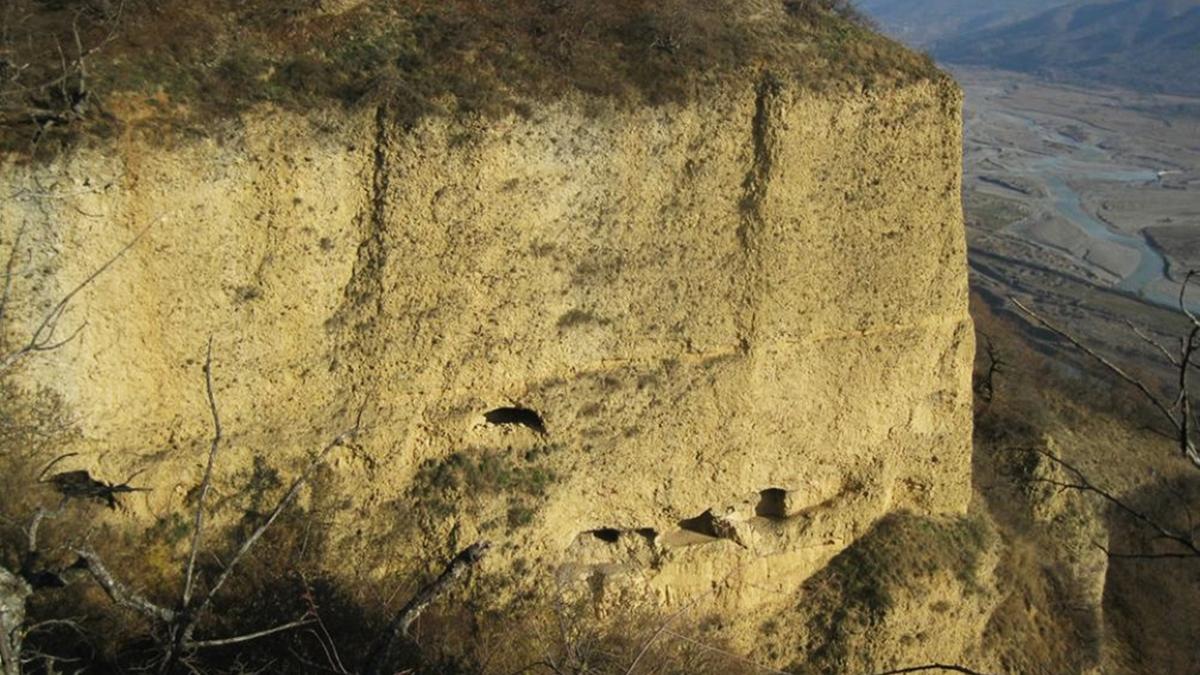
The rocky canopy or Bodorn pillar has a height of fifteen meters, the pillar slowly narrows to the top, which makes it cone-shaped. There is a cave carved in the lower part of the pillar, but it is quite difficult to approach it. Bodorn's canopy is on the list of unique inorganic natural monuments of the Red Book of Georgia.
On the right side of the valley of the Aragvi River, near the village of Bodorny, 70-80 m from the road, rises a naturally cemented rocky pillar (canopy) with a height of 15 m. The diameter of the column at the base is 4 m, but the column gradually narrows upwards. In the lower part of the canopy, a cave with a domed covering and other architectural details is carved. The cave is difficult to approach. In the early Christian era, the cave was intended for religious rites – in those days, stolpnichestvo, the activity of hermit monks was widespread.
Here, on the territory of this slope, there are many caves carved by man. The caves had a religious purpose or served as a shelter. Historical sources tell us that during enemy invasions, local residents took refuge in them. A lot of human scalps and bones found in shelters are evidence of the merciless massacre committed by the invaders.
Bodorna canopy is included in the list of unique inorganic natural monuments of the Red Book of Georgia. In the last period, the impact of natural processes (frost, hail, rain) has severely damaged the canopy: its size has decreased, and the entrance to the cave is almost impossible. The work on strengthening the natural monument was last carried out in 1986.
Approximately 150-200 m from the rocky pillar of Bodorna is the Bodorna domed Church of the Virgin. Information about the construction of the temple is provided by an inscription on the southern facade of the church. According to which it was built in 1417 on the ruins of an old church.

Location:
Dusheti Municipality (Chonkadze community); right bank of the Aragvi River; at an altitude of 813 m above sea level.

Coordinates:
N42 02'56''; Е44 44'27''.

How to get:
A dirt road 3 km long leads from the village of Bodorny to the natural monument; the distance from Tbilisi is 35 km, from Dusheti – 10 km, from Mtskheta – 20 km.


42 comments
Log in to leave a comment
Спасибо, что рассказываете о таких необычных и интересных местах. Сложно представить, что так много уникальных природных и архитектурных памятников есть в такой небольшой стране , как Грузия.
Спасибо, что рассказываете о таких необычных и интересных местах. Сложно представить, что так много уникальных природных и архитектурных памятников есть в такой небольшой стране , как Грузия.
уникальный, конусообразный,неорганический памятник,который занесён в Красную книгу Грузии.На нем есть пещера к которой трудно подоб-
раться.Мне интересно,как туда забирались люди, чтобы совершить обряд или укрыться от врагов?Жалко,что под воздействием природных
процессов уменьшился размер навеса и добраться в пещеру стало совсем невозможно.