The biggest rivers in Georgia. Visit the Pichori River.
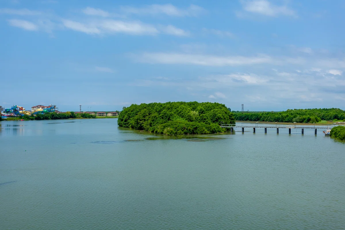
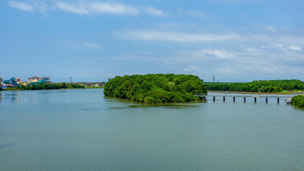
The Pichori River is an unusual river, which bears the status of the most water-rich of all Georgian rivers. The river flows through dense forests, which are beautifully reflected in the river surface. The landscapes of this river valley are very diverse, with tropical and subtropical landscapes preserved to this day.
The Pichori River originates on the northern slope of the Guria hills at 245 m above sea level and then flows into Lake Paliastomi. In good weather, it is possible to reach the river by boat across the lake. Every turn of the river, which runs through the relict forests, prepares more and more surprises and gives the opportunity to meet rare species of birds.
In the valley of the river Pichori operates Colchis National Park, which preserves the swamp landscapes and landscapes of lowland forests, typical for Colchis.
Natural swamp landscape, which has few analogues on the whole Black Sea coast, gives visitors the feeling of a fascinating oasis, full of life.
The tropical and subtropical landscape, which approximately 10 million years ago stretched across the entire Eurasian continent in a continuous, uninterrupted strip, has been preserved here to this day.
In the river valley there are plants typical of the swampy ecosystem of the far northern lands - tundra and taiga. In the bogs of the Pichori River valley germinate plant species not usual for Colchis - sphagnum (peat moss), round-leaved sundew, northern sedge, Rhododendron ponticum and other alpine plants.
Alder, lapinus, Imereti oak, Colchis ivy, etc. grow in swampy and humid forests. The species composition of algae is also diverse. The most endangered and endangered species are glaucium (yellow dwarf mackerel) and pancratia maritimi.
Along the river in strongly humid places there are such plants as Colchis yellow water lily, water chestnut, and rhamka; and in peat bogs, together with the northern species typical for tundra, there grow royal fern and Imeretian sedge.

Location:
Lanchkhut municipality; Kolkheti lowland. Border between Samegrelo and Guria, Black Sea coast, Gkrii lowland, altitude - 0.3 m above sea level.

Coordinates:
№ 42008'11''; Е 41045'32'' (the mouth of Lake Paliastomi and the river).

How to get there:
You can get to the valley of the Pichori River through Lake Paliastomi, through the Colchis National Park along the Pantomi tourist route, as well as by hiking route: at the top of the Pichori River, a rocky road leads west of Lanchkhuti; the distance to the valley is 5 km, distance from Tbilisi to the valley entrance (through Lanchkhuti) is 325 km, from Ozurgeti - 45 km, from Lanchkhuti - 43 km, from Kutaisi - 100 km.


38 comments
Log in to leave a comment
Самые интересные моменты данной статьи для меня - это описание редких и уникальных видов растений, которые можно встретить в долине реки Пичори, таких как торфяной мох сфагнум, росянка круглолистная, северная осока, рододендрон понтийский и другие. Я в восторге от факта того, что до сегодняшнего дня в долине сохранился тропический и субтропический ландшафт.
Отдельно хочу отметить, что авторы статьи сделали молодец, что оставили координаты парка. Это поможет мне и другим любителям природных красот, посетить это место и насладиться красотами природы. В хорошую погоду, чтобы попасть в реку, можно воспользоваться лодкой, которая проходит через озеро. Каждый поворот реки, которая протекает мимо реликтовых лесов, готовит всё новые сюрпризы и даёт возможность встретить редкие виды пернатых.