Natural monuments of Georgia. The largest Georgian lakes. Lake Tabatskuri.
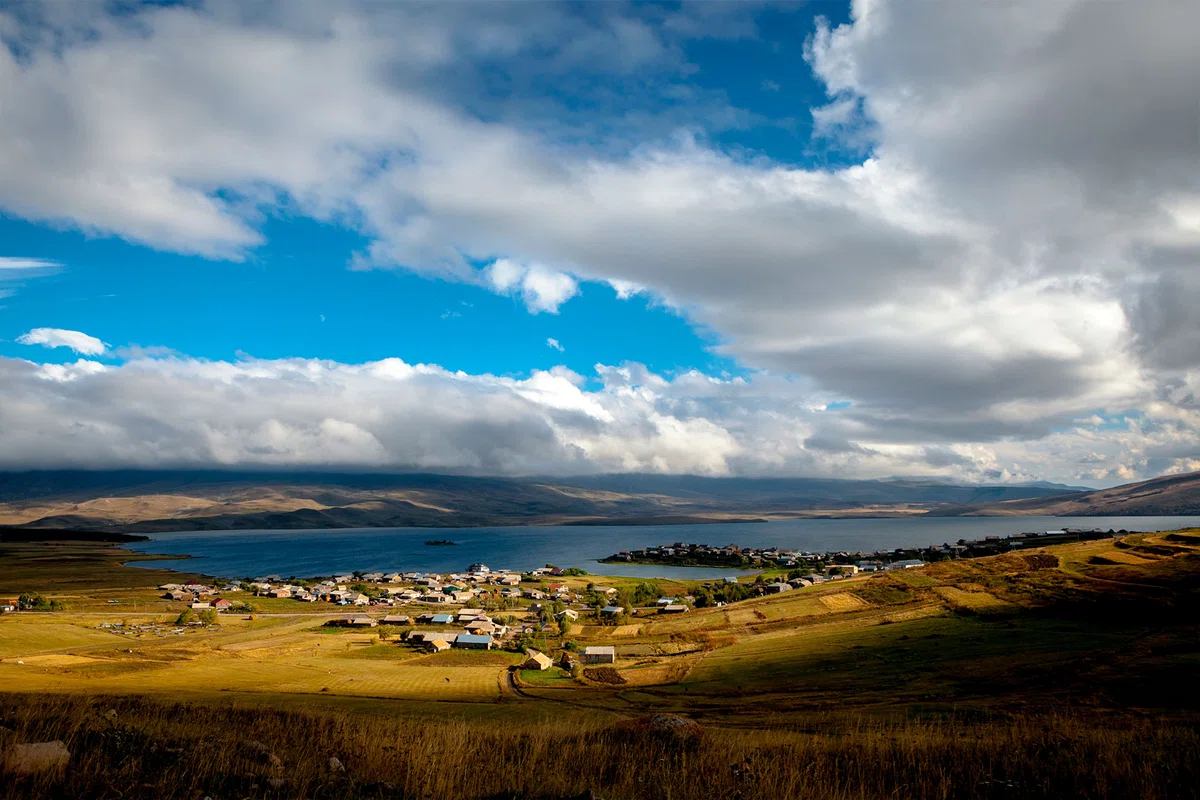
Tabatskuri Lake was formed as a result of a volcanic eruption and reaches a depth of forty meters and is the largest of Georgia's lakes by volume. In summer, the lake has a pleasant blue color, and the water is so clean that the locals used it as drinking water. There were also a lot of trout in the lake.
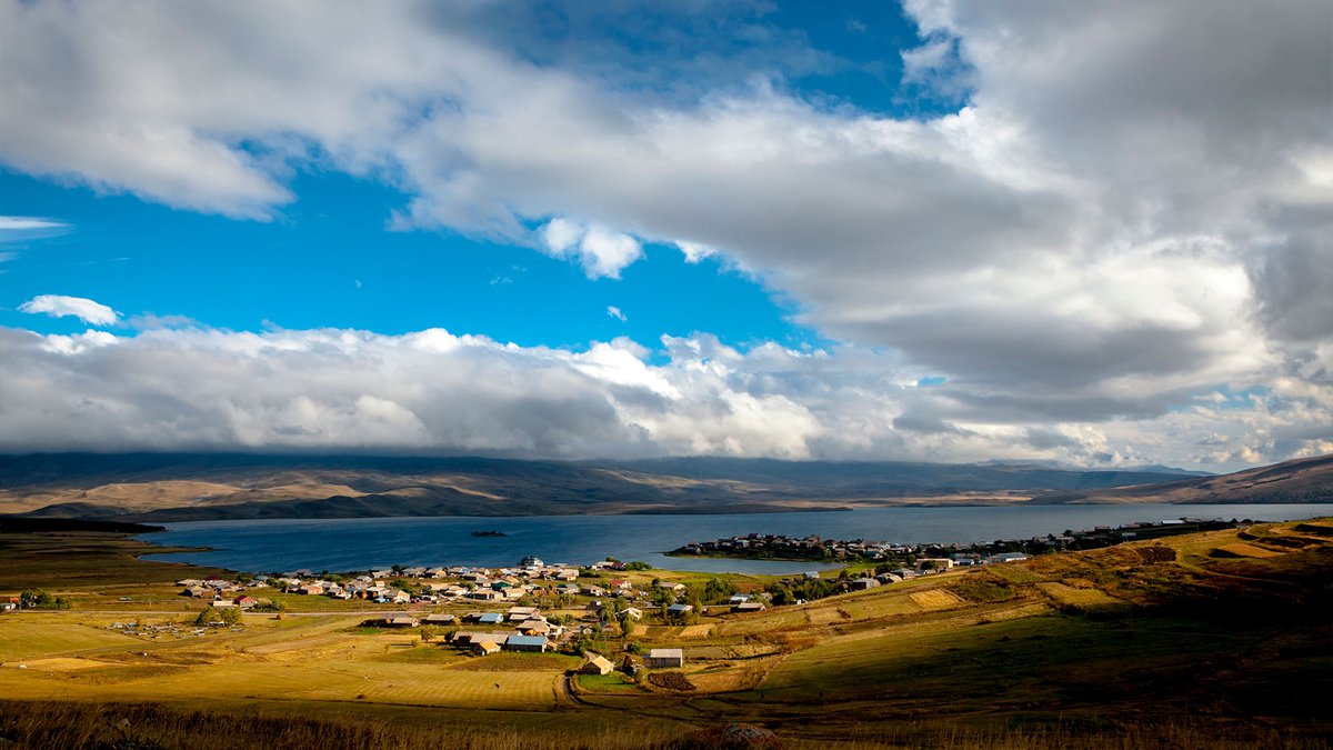
Tabatskuri village is located on a peninsula in the Samtskhe-Javakheti region, on the border of Borjomi and Akhalkalaki municipalities. The name Tabatskuri means "bay of the lake" ("tba" - lake, "kuri" - bay). The village, indeed, crashes into the lake of the same name, formed as a result of a volcanic eruption. The maximum depth of the lake is 49.2 m, and among the lakes of Georgia it has the largest volume (221 cubic million). In summer, the lake is blue, and in November it freezes and is covered with mirror ice.
The water in the lake is so clean that the locals used it as drinking water. For centuries, the lake has been famous for its abundance of fish. There were a lot of trout here. Around the lake is the Ktsia-Tabatskur Nature Reserve, which was founded in 1995 with the aim of protecting birds and their habitat – unique territories with high humidity and a high-altitude ecosystem. The reserve is a resting place for many migratory waterfowl. Tabatskuri Lake has been awarded the international status of an area important for the protection of birds (IBA) by the International Association for the Protection of Birds.
There are plants typical of areas with high humidity, meadow plants and plants of mountain steppes, thickets of shrubs and remnants of relict forests. On the territory of the reserve, the plants of the subalpine forests have been preserved in fragments. It is believed that these plants are the surviving remnants of forests that were widespread in ancient times in the mountainous regions of Southern Georgia. Of these, forests with subalpine bent beech, aspen and highland oak (listed in the Red Book of Georgia) should be noted.
The rocky road from Bakuriani to Tabatskuri passes through the Tskhra-Tskaro pass. As the altitude increases, magnificent coniferous and deciduous forests are replaced by Alpine fields.

Location:
The border between Borjomi and Akhalkalaki municipalities; at an altitude of 1991 m above sea level.

Coordinates:
N41040'00"; E43038'11".

How to get:
A highway runs from the village of Bakuriani to the village of Tabatskuri, along which a highway passes, along which it is possible to drive from May to October by a high-pass vehicle. The distance from Bakuriani to the lake is 30 km, the distance from Tbilisi is 210 km, from Borjomi – 60 km, from Tsalka (via Berta–Burnasheni) – 45 km.


36 comments
Log in to leave a comment
Кроме обилия рыбы, это озеро можно назвать, наверное, одним из самых чистых в мире. Местные считают воду в нем питьевой.
Не зря люди стремятся жить поближе к этому водоему, прямо на берегу Табацкури расположено село с одноименным названием.