Through caves in Georgia. The "window" of Ahibokhi.
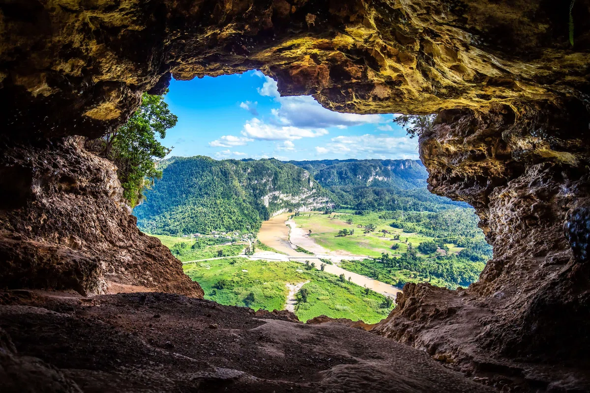
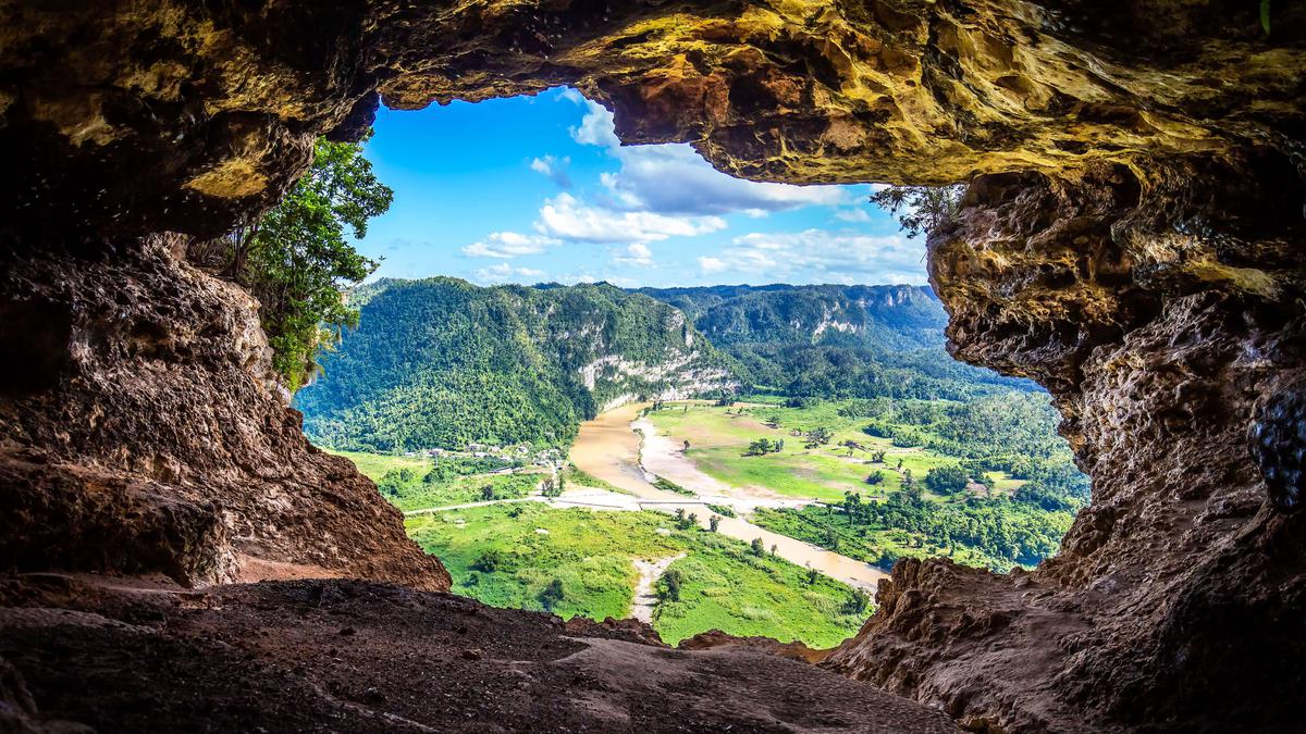
The "window" of Ahibohi is a natural through cave, the "window" of the cave offers a beautiful view of the natural expanse. This cave is quite old, dating back to the lower Cretaceous period. Despite such a magical place, it is not so popular among tourists, as there is no easy access here.
From the valley of the Aapsti River, one of the wonders of nature, a natural through cave high in the limestone rocks, called "Ahibahu Window," is clearly visible. During the day you can see a piece of the blue sky through the cave, and at night you can see the moon and stars. This "window," located at an altitude of 2,400 meters, is a fragment of a karst cave.
From the "window" offers a wonderful view: on one side - the Black Sea, the coast, part of the Pontic Range, located in the historical Lazistan, on the other side - the peaks of the Abkhaz Caucasus. Limestone rocky massif Akhibakhu is located at an altitude of 2516 meters. Because of the population this massif is called "Turkish hat.
The name Ahibakhu is translated as "mountain of the ruler" and indicates that the pastures around the mountain, belonged to the ancient rulers of Abkhazia - Shervashidze family.
The upper part of the limestone mountain, which belongs to the Lower Cretaceous Period, is almost vertical and has a bare slope. It is assumed that this interesting natural phenomenon - karst hole - appeared about 5 million years ago.
Nowadays, it is difficult to get to "Akhibakhu hole" both from the south - from Gudauti, and from the north - from the village of Psou. To get there, you need to ride for 3 days, and then climb a limestone slope. If work on the improvement of underground roads to this monument of nature, these places in Abkhazia will become more attractive to tourists.

Location:
Gagra municipality, the border of Gudauta and Sukhumi municipalities, the territory of Achandara and Psou communities; the plateau of the middle part of the Bzyb ridge, the sources of the Aapsta river, at 2,400 meters above sea level.

Coordinates:
43017'31"; Е40045'30".

How to get there:
Distance from Tbilisi - 575 km, from Sukhumi - 125 km, from Gudauti - 85 km. East of the city of Gudauti, from the highway Tbilisi - Senaki - Leselidze leads a rocky road to a village Achandara (distance from the junction - 30km), then in the direction of the mountain Dudripshi begins an unpaved road, where a hiking trail leads to Mount Khipta (2494 m), near Mount Khipta is another mountain, Akugra (254 m). Through the southern slope of Akugra to the foot of the Ahibahu slope there is a 40 km long hiking trail that is difficult to follow.


40 comments
Log in to leave a comment
Да, сквозная пещера интересна, как природный объект. Да, эта пещера удивительно древняя. Да и вид оттуда просто потрясающий. Но ехать три дня верхом даже ради всего этого я не готова. Тем лучше для тех, кто любит трудности. Толпа туристов не будет мешать наслаждаться очередным чудом природы - «окном» Ахибохи.
Читая статью побывала в сказочном месте. Из окна открывается чудесный вид.
Из одной стороны побережье Чёрного моря, с другой стороны
вершины Абхазкого - Кавказа. Название Ахибаху ,переводится как ,,гора правителя,,
Пастбища вокруг горы принадлежало правителям роду Шервашидзе.
Пещера возникла приблизительно 5 миллионов лет назад.
Автор говорит, что добираться до пещеры очень трудно. Но туристам
Которым нужен экстремальный вид путешествия, это хорошее место.
Так как можно на лошади прокатиться и подъем вверх к горным склонам.