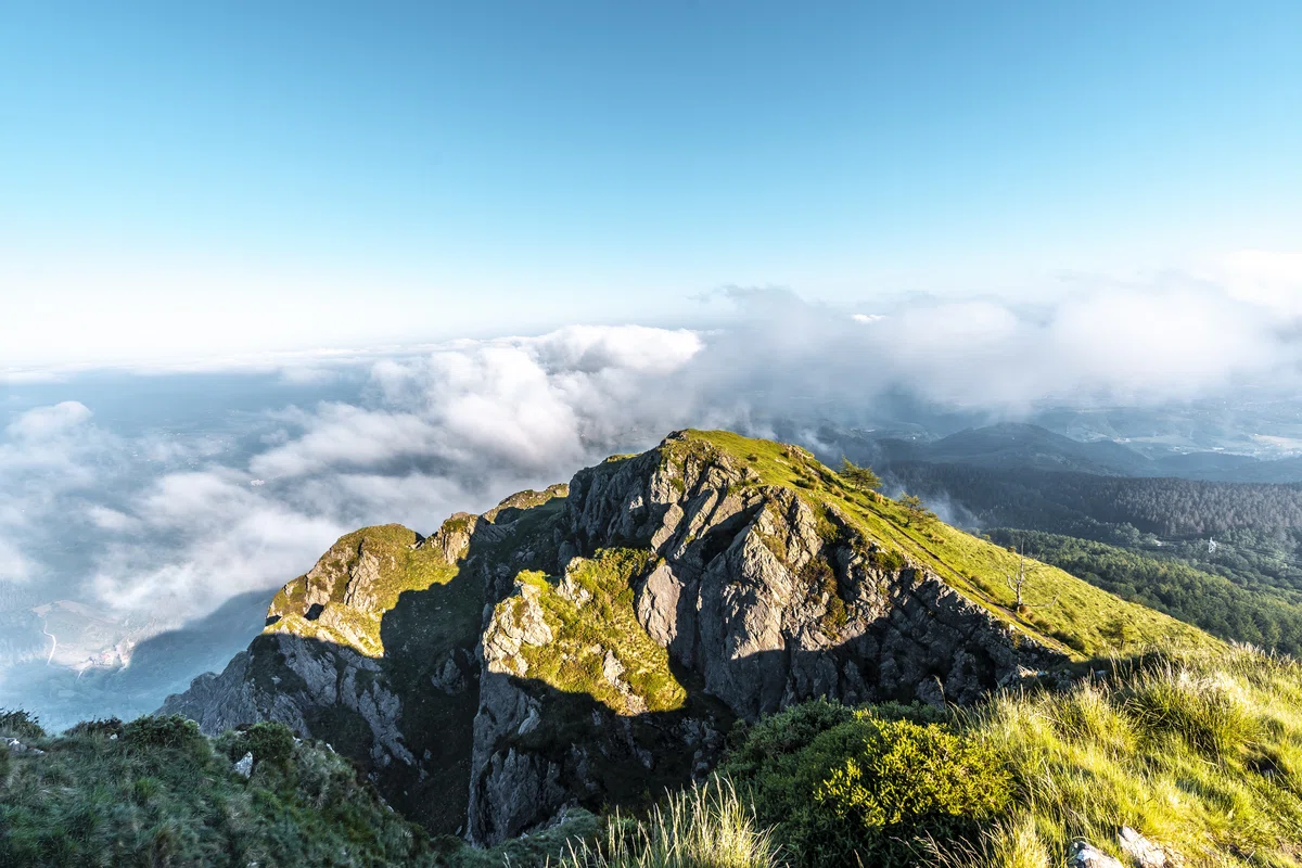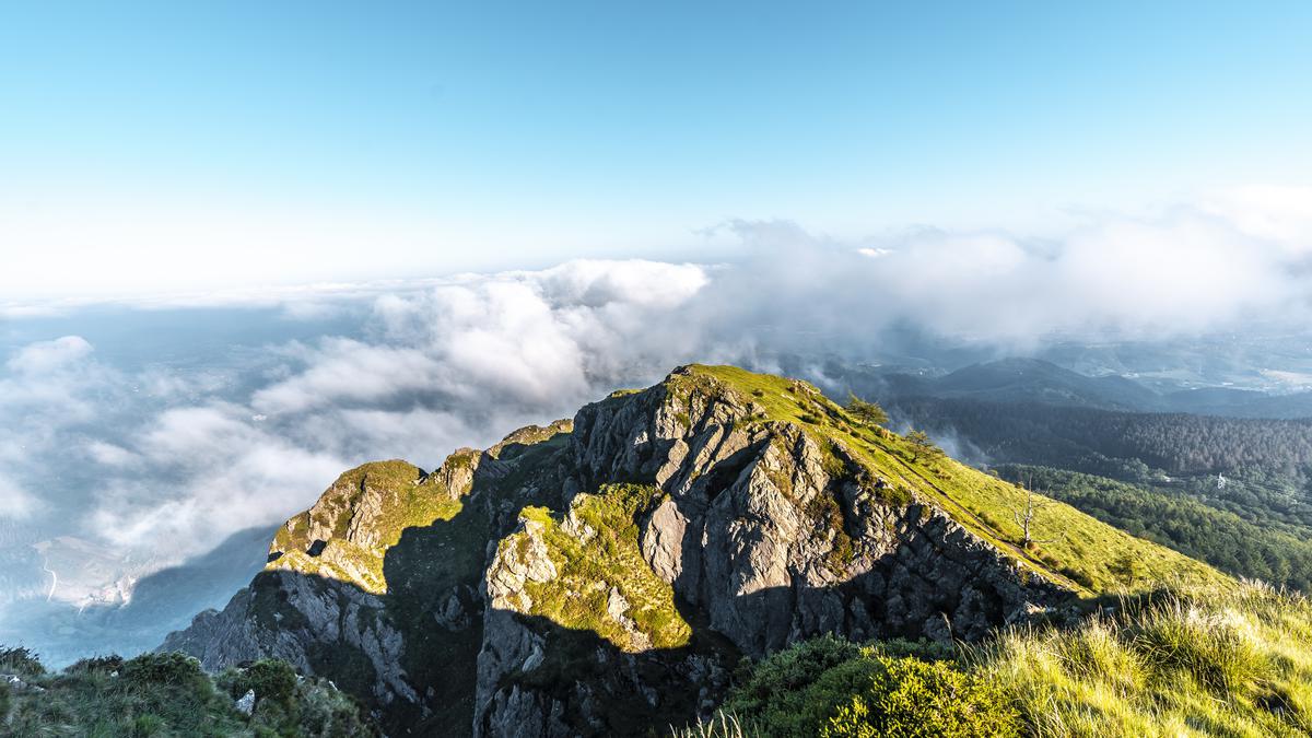
Where to see the best panoramic views in Georgia. Mepiskaro.
Mepistskaro is the highest point of the Meskheti Range. Mepistskaro is a spring with a large flow. This peak offers a beautiful panoramic view of the mountains and natural expanses of Georgia. These views are a must see for yourself. Mepistskaro is also the border of three municipalities.
The highest peak of the Meskheti range is Mount Mepiskaro (at 2,850 m above sea level).
The foot of the mountain and the lower slopes are covered with subalpine plants, and the middle and upper part of the slopes - with alpine meadows. Bears, deer, roe deer, and chamois inhabit hard-to-reach places here.
At the top is Mepiszkaro, a spring with a large flow. According to legend, Georgian kings used to travel along this road and rest at the spring.
On the northern slope of Meskheti range near the peak Mepistskaro at an altitude of 2 800 above sea level takes the largest river in Guria - Supsa (length - 108 km, the basin area - 1130 sq. km. Near the village of Grigoleti the Supsa flows into the Black Sea.
Originally the river was called "Supsa" - water of Surebi, as the river flowed through the mountains of the historical region of Surebi. Supsa is the only river flowing through the territories of all three municipalities of the Guria region.
This river was first mentioned in the works of the Greek geographer Pseudo-Skilakos of Kariana, as well as in the writings of Flavius Arianae, under the name "Mogros". In ancient times, the Byzantines used the Supsa River for exporting raw materials and importing products. Shipping on the Supsa continued until the 19th century.
Mepiskaro peak is the border of three municipalities - Chokhataura, Adigeni, Van.

Location:
Chokhatauri municipality; the gorge of the Meskheti Ridge and its northern spur, the Loborti Ridge, at the sources of the Supsa and Tsablaristskali rivers.

Coordinates:
№ 41⸰50'24''; Е 42⸰39'43''.

How to get there:
From the highway Akhaltsikhe-Hulo-Batumi, near the village of Mlashe, a stony road leads to the summer pastures near the village of Zeda Gagvi, through the villages of Chechla and Mohe. This dirt road can be used by a cross-country vehicle. The distance from Zeda Gagvi village to Didi Jaji lake is 15 km, from the village Mlache is 35 km. The distance from Tbilisi is 280 km, from Adigeni - 50 km, from Batumi (through Goderdzi pass) - 280 km, from Sairme resort (Baghdad municipality) to Mepistskaro along the steep slope is a hiking route of 25 km.


34 comments
Log in to leave a comment
отдыхали у родника с большим дебетом, который находится на вершине Меписцкаро. Это самая высокая точка Месхетского хребта и отсюда можно наблюдать невероятные виды.