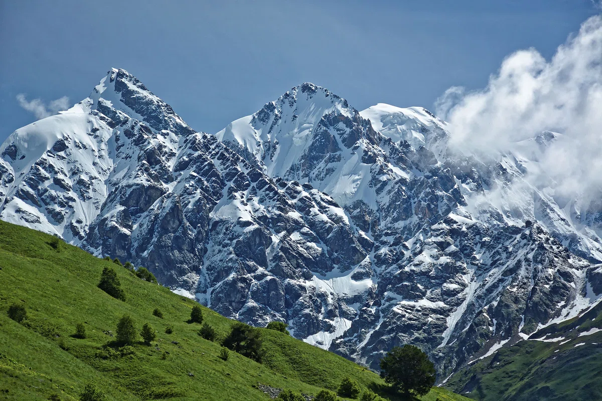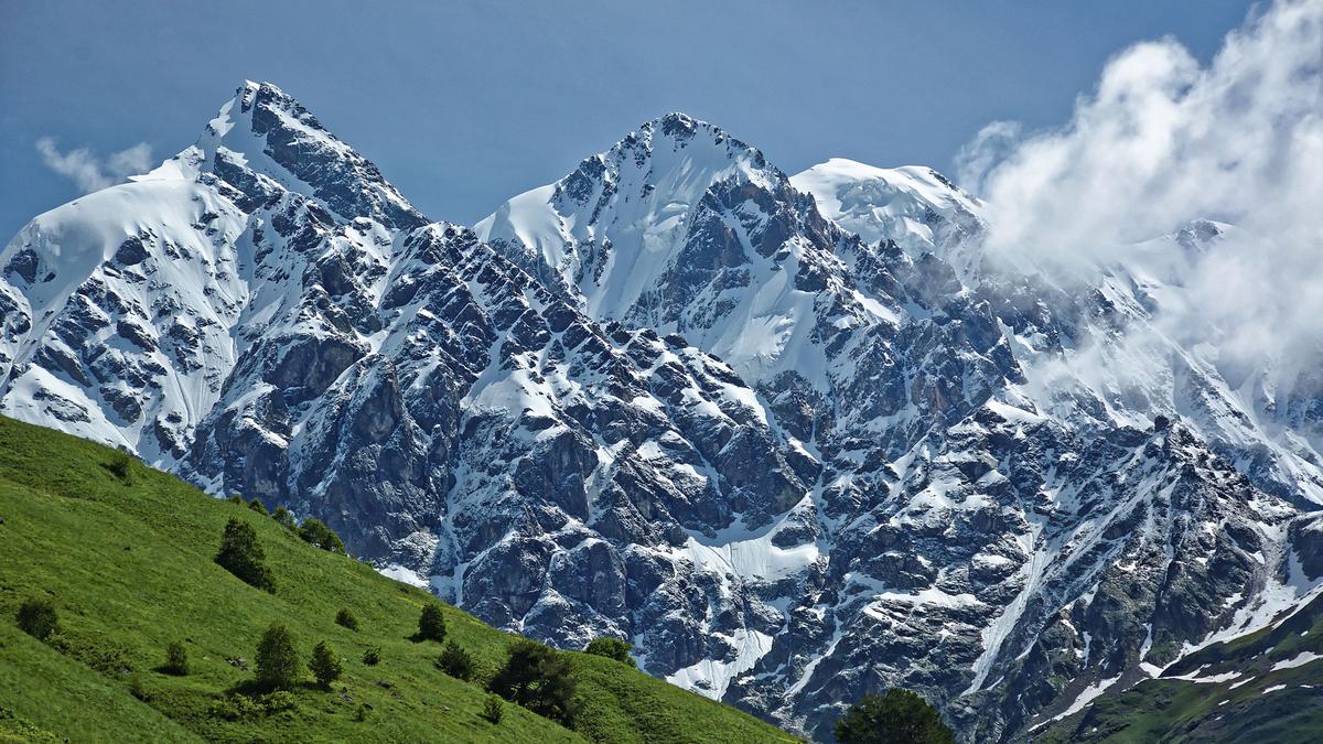
Large mountain ranges in Georgia. Shkhara Massif.
The Shrakh peak is the highest place in Georgia, second only to Elbrus. It is noteworthy that Shraha is more difficult to conquer. It ranks first in Europe in terms of difficulty of conquering it. The Shkhara Glacier, on the other hand, is a tourist attraction that is difficult to conquer, with a height of 2,480 meters.
The nine-headed Shkhara peak is located in the Svanetian section of the Caucasus, more precisely, on the Besing Wall. The Besin wall itself, which natives of Svaneti call "Pitsruli" (boardwalk) is the highest - 12-meter - section of the Caucasus watershed ridge. To the north of the Bezing Wall descends one of the largest glaciers in the Caucasus, the Bezing Glacier, and to the south are the Khalde and Shkhara Glaciers.
The highest of the peaks in the Shkhara Massif is Shkhara Peak, which stretches up to 5,203 meters, giving way only to the "roof" of Europe - Elbrus, although Shkhara is much more difficult to conquer. Western Shkhara (5015m), Eastern Shkhara and Southern Shkhara (4320m) are also more difficult to conquer than Elbrus.
Several years ago, a mountaineering magazine published in the U.S. put the Shkhara peak in first place in Europe on its list of the most difficult peaks on the continent to conquer. As for the Shkhara Glacier (length - 5.0 km, area - 6.2 sq km, the height of the glacier tongue - 2480 m), he is an interesting and easily accessible tourist destination.From the glacier takes its source the Inguri River. At the source of the river there are three ice springs.
Five kilometers from the Shkhara Glacier is a historical settlement - Shkhara community, which includes 4 villages: Zhibiani, Chvibiani, Murkmeli, Chvzhashi (center of the community).
At present, Chzhashi community is declared as a museum. Protected site, included in the list of UNESCO World Heritage Sites, includes 13 towers, 4 fortress houses, 21 machubi (bottom floor of Svan houses).
Of all the villages of Ushguli, it is in Chazhashi that the most preserved Svanian towers have been preserved. There is an archeological museum in this village. In the upper, northern part of Ushguli stands the church named after Holy Mother of God "Lamariya". From this church rises the road to Mount Shkhara.

Location:
Mesti municipality, the southern slope of the Svan section of the Main Caucasus Range, altitude 5023 m above sea level.

Coordinates:
№ 42⸰57'37''; Е 43⸰05'21'' (Shkhara Glacier).

How to get there:
The path starts from the village Zhabiani, then a rocky road passes through the valley of the river Inguri begins hiking trail. The distance to the glacier is 5 km. Ushguli community is connected to Mestia and Lentekhi by roads of domestic importance. The road connected to Lentekhi passes through the Zagar pass and functions only in summer. The distance from Tbilisi is 550 km, from Zugdidi 200 km and from the village of Mestia 60 km.


35 comments
Log in to leave a comment
Прочитала статью «Большие горные массивы в Грузии. Массив Шхара» на сайте madloba.info. Что можно сказать о статье.
✅ Положительный момент статьи: В статье содержится много полезной информации о вершине Шхара и леднике Шхара, а также об историческом поселении Чажаши, которое включено в список объектов всемирного наследия ЮНЕСКО. Статья также содержит информацию о том, как добраться до места и что можно увидеть на пути. Кроме того, статья написана ясным и понятным языком, что делает ее доступной для широкой аудитории.
✅Отрицательный момент статьи: В статье не хватает информации о том, какие маршруты и маршрутные схемы используются для восхождения на вершину Шхара, какие сложности могут возникнуть при подъеме, какие меры безопасности необходимо соблюдать. Также не указаны возможности для проживания и питания в окрестностях горы, а также какие другие достопримечательности и интересные места можно посетить в этом регионе.
Несмотря на положительные и отрицательные моменты статьи, я благодарю автора на каталоге Мадлоба за интересную и полезную статью!!
Вершина Шхара находится на Безингской стене, которая является самым высоким участком кавказского водораздельного хребта. Было очень интересно узнать эту информацию!