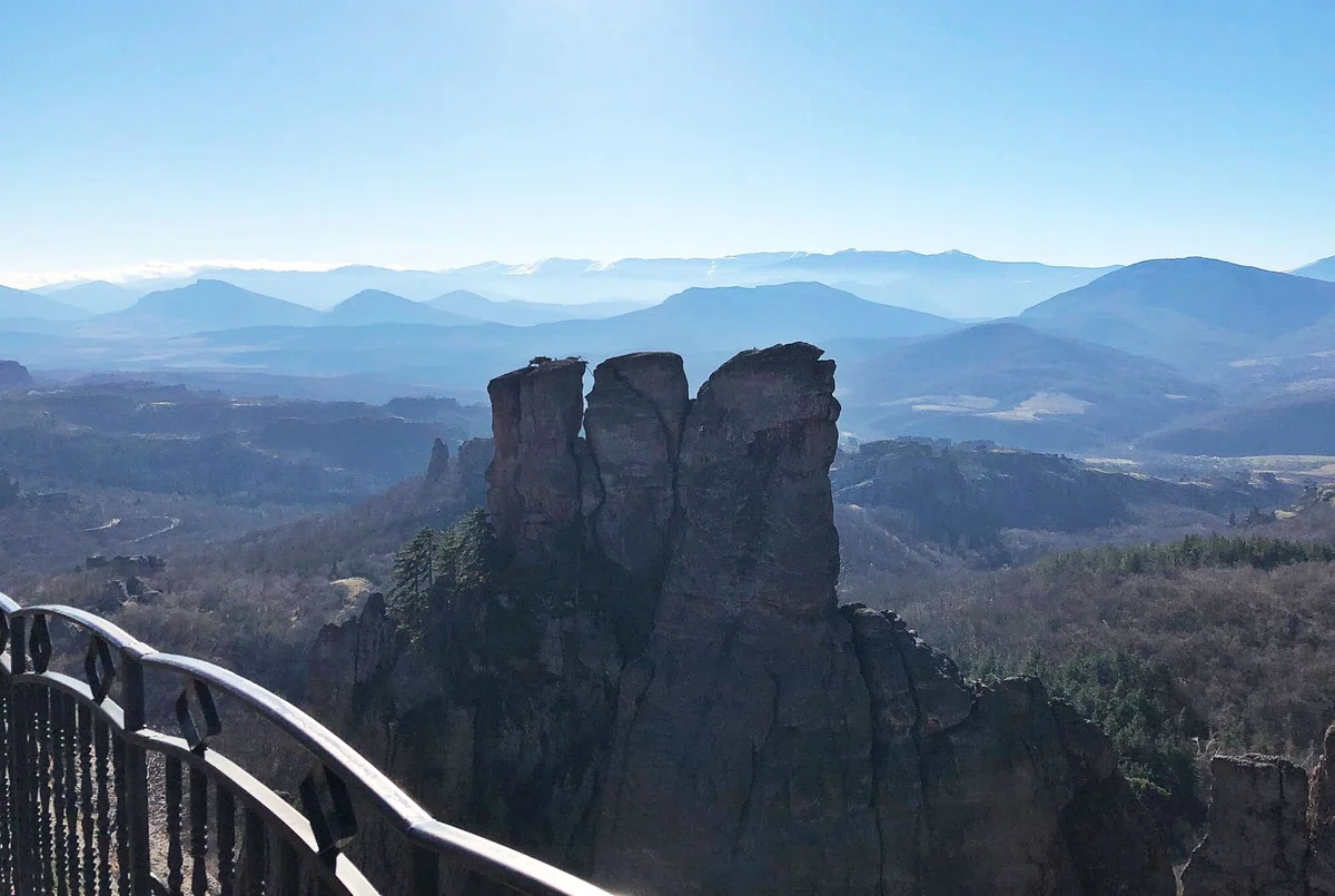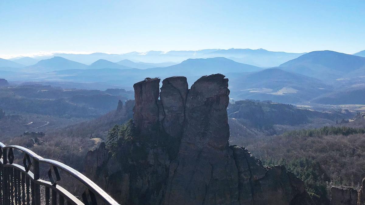
High monolithic pillars located in Georgia. The column of the Croaker.
The height of the Kvakats pillar reaches five to eleven meters. This is the tallest pillar of all three adjacent pillars. The second pillar is already five meters high, and the third can even be called a block. There used to be hiking trails here. This pillar got its name because it looks like a man.
To the south of Mount Hino on the ridge spur, at the source of the Khevasgeli (the right tributary of the Chvanistskali River), three monolithic pillars of different sizes rise. They sort of lined up in a row. The relative height of the largest of the pillars is 11 meters, its diameter is 4.5–5 m. This pillar looks like a man, so it was called "Kvakatsa" ("stone man"). The height of the second pillar is 5 m, the width is 2 m. The third pillar is the smallest, it is rather a block.
Hiking trails used to pass through the territory of Kvakats. On the territory of Acharistskali in the direction of Batumi-Goderdzi there was a road with a left branch, which was called Chwana-Tskalsakari. This path served for internal communications. Travelers were transferred along this road to Imereti and Guria, and from there to the northern countries.
In the Middle Ages, roads were laid especially intensively. It should be noted the "golden age" of Georgia – the XI-XII centuries, when with the assistance of David the Builder and his followers, construction was widely deployed, including the construction of roads and bridges. On the territory Adjara stone arched bridges of this period have been preserved.

Location:
Shuakhevsky municipality, the southern spur of the Adjara-Imereti or Meskhetian ridge; altitude – 2350 m above sea level.

Coordinates:
N41⸰44 '56"; E42⸰08'29".

How to get:
The road leading to Chvanistskali separates from the Akhaltsikhe-Khulo-Batumi highway near the village of Khichauri; the distance from the fork to the monolith is 37 km, from Tbilisi – 470 km, from Shuakhevi - 47 km, from Batumi - 100 km. Hiking trails lead from Shuakhevi to Kvakatsi. You can also get there through the Kintrishi River valley: from the village of Khino, the hiking route heads northeast towards Mount Nakoravi, then passes the Sarbieli area and continues east to the Sarmikeli area (summer pasture at an altitude of 2235 m above sea level). The distance from the village of Hino is 25 km .


30 comments
Log in to leave a comment
Интересно, что рядом проходили пешеходные тропы и древние дороги. Такая связь с историей делает место ещё более значимым. Кто-нибудь был в тех местах?