Glaciers of Georgia, hiking trails of the Greater Caucasus Range, glaciers of Svaneti
Hiking trails also run along the southern slope of the Greater Caucasus Mountain Range. We will explore the path to the Chaalati glacier, learn all about the melting of ice in Georgia. Join us, the Madloba directory shares only proven facts and extraordinary impressions! Make your vacation brighter with Madloba!
It is known that over the past 40 years, the Chalaati glacier has moved back about 300 meters. Studies have shown that the area of glaciers (in Georgia out of about 60) in 1985-2000 decreased by 6-9%, and their length – on average, by 8 meters daily.
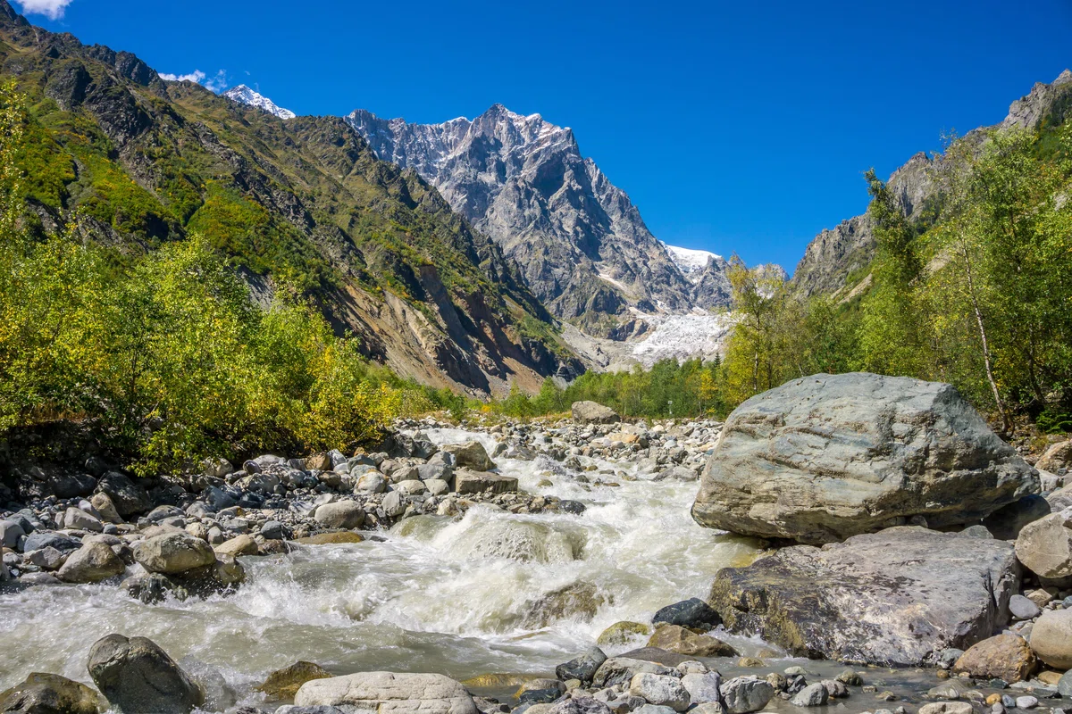
The Mestichala river (length - 11 km, pool area - 152 m). It originates from the waters of the glaciers Lehziri and Chalaati. Near the village of Mestia, the river merges with the Mulhura River on the right side. In the Mesila Valley there is the longest glacier in Georgia - Lekhziri. Lekhziri is a valley-type glacier located on the southern slope of the Svan section of the Greater Caucasus Range, in the Inguri River basin. The tongue of the glacier descends along the southern slope of the Caucasian Ridge below other existing glaciers - 1,950 meters. Numerous streams of meltwater flow out of it, which in the middle section of the eastern spur gather into two drainless lakes. The glacier is fed by ice streams and landslides that descended from the peaks of the Bashil, Svetgar, Latsk, Marianazh, Jantugan, Ulukar, Bzhedukhsky and Dalakor slopes.
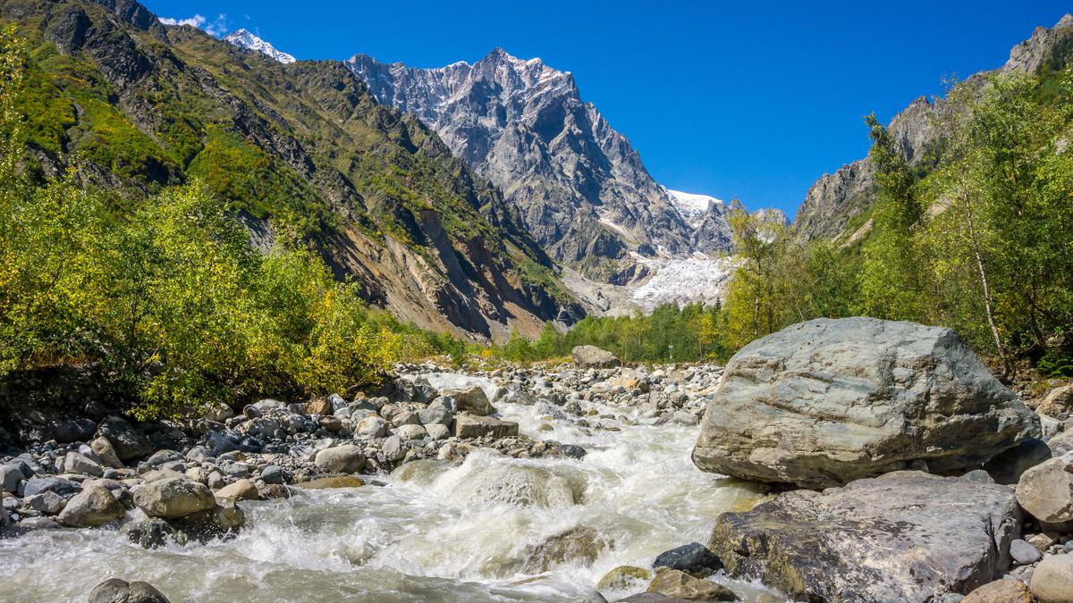
One of the sources of the Mestichala River is the Chalaati Glacier, the only glacier on the southern slope of the Caucasian Ridge. It crosses the forest zone and descends below all glaciers. The height of the glacier tongue is 1,880 meters. Chalaati belongs to the valley type of glaciers. It descends along the southern slope of the Svan section of the Greater Caucasian Ridge (length — 7.2 km, area - 12, 15 km2). The Mestichala Valley is a real kingdom of boulders brought by glaciers. One of these blocks in the form of a column rises in the riverbed. Several fir trees grow on its surface. The diameter of the block exceeds 15 meters. The second descended block serves as a support for a metal suspension bridge. To get to the Chalaati Glacier on a walking route, you need to pass this bridge.
The hiking trail leading to the Chalaati Glacier is popular among tourists. The length of the route is 3 km. The trail is marked. In addition to this trail, there are also marked routes leading to the Ushba, Adishi, and Shkhara glaciers (length 5.0 km, area 6.2 km2, height of the glacier tongue - 240 m).


30 comments
Log in to leave a comment
Статья подчеркивает значение ледника как природного богатства Грузии, которое должно быть защищено и сохранено для будущих поколений. В тоже время, автор статьи поднимает вопросы, связанные с климатическими изменениями и их влиянием на доступность и сохранение этого красивого ледника. В целом, статья демонстрирует красоту и уникальность природы Грузии, а также затрагивает актуальные проблемы ее сохранения.
Размеры ледников впечатляющие. На пути до ледника Чалаати нам встретится висячий мост и что самое интересное опорой ему служит сошедшая глыба.
Река Местичала длиной 11 км. Одним из истоков реки является ледник Чалаати. Ледник питается ледяными потоками и оползнями, сошедшими с вершин близлежащих склонов.
Он пересекает лесную зону и спускается ниже всех ледников. Высота 1 880 метров. Одна 15 метровая глыба возвышается в русле реки. Вторая –служит опорой металлического висячего моста.
Пешеходная тропа длиной 3 км, ведущая к леднику Чалаати, популярна у туристов. Длина маршрута 3 км.