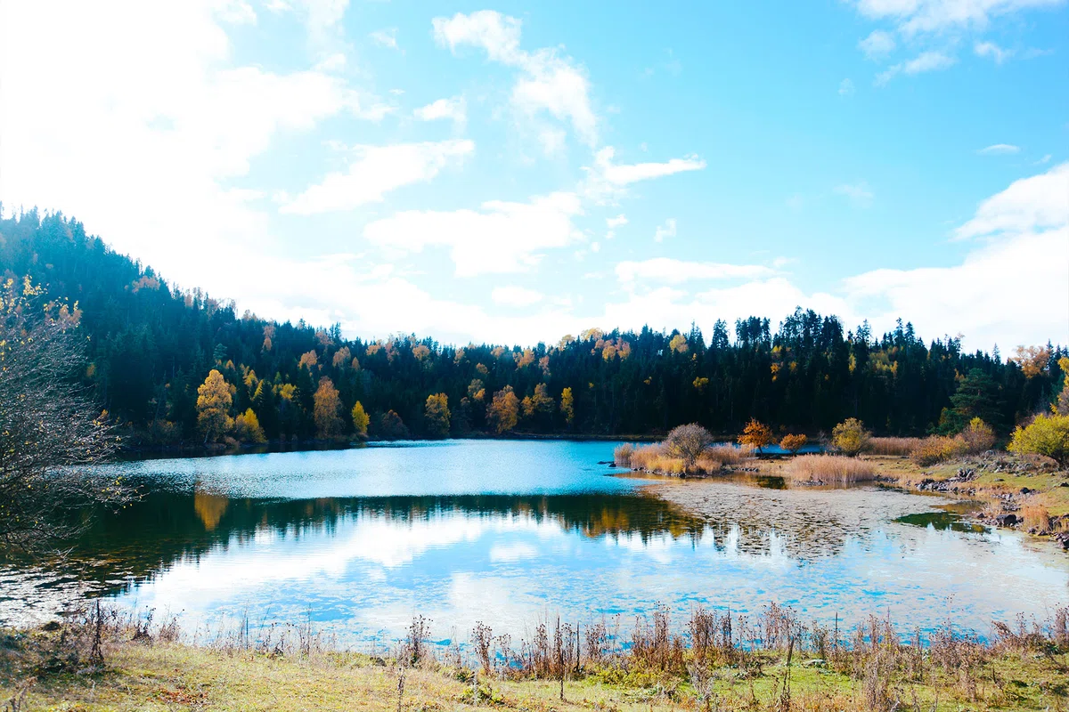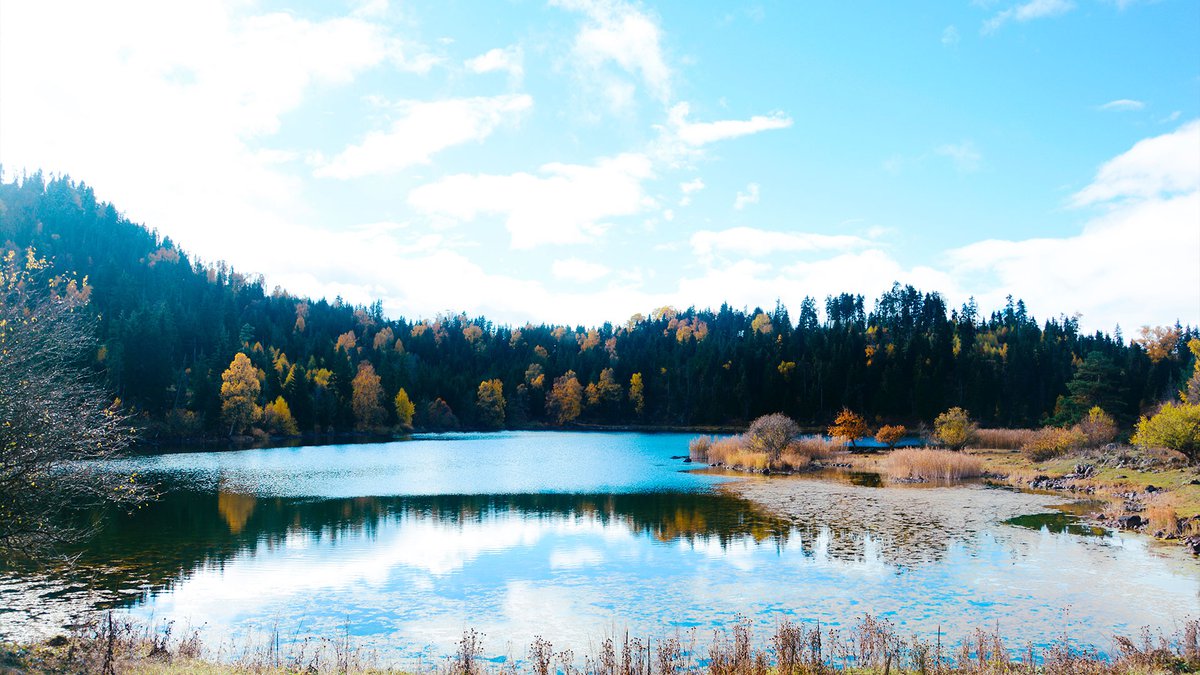
Lake Martoti: a journey through the wild nature of Georgia in September and October.
Lake Martoti, Georgia and the route to it. Madloba provides full information about the beauty of the lake, about the surrounding historical temples and a 2-day journey to Martoti through the wilderness. In the article we wrote the best time of the year to visit and the entire mileage. The route is average in overcoming.
The sights of Georgia are very diverse, you can find almost everything here – from historical temples and museums to wildlife with its mountains, rivers and lakes. Going on vacation to this wonderful country, every tourist is interested in what to see in Georgia. If you are a traveler who is more close to wildlife, then we advise you to pay attention to the cascades of lakes scattered throughout the mountainous terrain of Georgia. One of these mountain-lake routes is the route to Lake Martoti. The total length of the route is 18 km, the recommended travel time is 2 days. The complexity of the route is average. The best time is summer, September and October.
Lake Martoti is located in the Kakheti region, more specifically, in the municipality of Lagodekhi on the Caucasian Ridge, at an altitude of 2830 m above sea level. In order to shorten the distance required for walking, you can use the cars of the local population in the villages encountered on the way, for a reasonable fee. The route starts from the intersection of the road connecting Kvareli and Lagodekhi, passes the village of Uzuntala, runs along the Kabali River. The border police station becomes a beacon to the beginning of the ascent to the mountains for tourists. Since Lake Martoti is located near the Georgian-Russian border, the tourist must have all the necessary permits (for registration, you need to present an identity card or passport). If the tourist did not have time to do this in advance for some reason, then all these documents can also be issued in this section.
Then the trail turns right and leads down a steep slope. There are 3 options for how to get further – by off-road vehicle you can drive 16 km up to 1670 m above sea level and continue climbing on foot; on horseback by another route from summer farms, then the road will be 9 km, and the ascent will be 1190 me; or by a third trail on foot all 16 km to the height 1670 m above sea level.
Along the way, tourists have the opportunity to enjoy the view of the Alazani Valley and magnificent views of the neighboring gorges, the most beautiful places in Georgia. Everywhere along the trail there are summer farms where, if desired, you can stay overnight. There are also 2 specially equipped campsites for overnight stays. They are located up to the border section. It is impossible to stay near the lake for the night because of the proximity of the reservoir to the border with Russia. The road back will run the same route.


29 comments
Log in to leave a comment